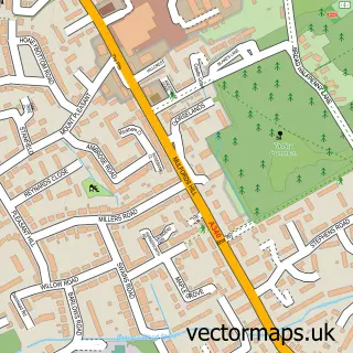
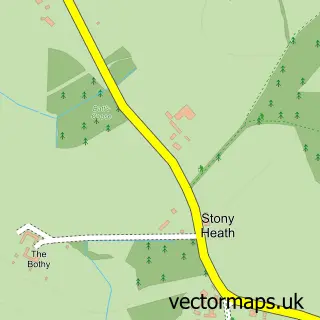
This Heath End street map is a detailed vector street map covering a 750m x 750m area. Select a larger area to create and download your own vector street map of Heath End.
The 750-metre map sample for Heath End covers 397 mapped buildings and approximately 15.3 km of road detail, of which 31 named roads are named. The immediate area includes 1 GP surgery within 2 miles, 4 pubs and 6 MOT stations within 2 miles. The wider area around Heath End features 5 food and drink venues. To create a larger or custom map of Heath End, the map builder lets you define your own coverage area and download editable SVG, PDF and PNG files.
Create a larger editable map of Heath End
Choose any area you need and generate a high-quality vector map instantly. Perfect for print, planning, design, business and personal use.

This Heath End street map in Hampshire is available as downloadable SVG, PDF and PNG map files, or as a printed map for planning, business, display, education, local information and design work. You can also create a larger custom map area using the map selector.
What this Heath End map sample shows
Heath End lies within Baughurst Cp parish, part of Baughurst And Tadley North ward in the Basingstoke And Deane District (B) local authority area. The postcode geography for this area includes the RG postcode area, the RG26 postcode district and the RG26 5 postcode sector. Residents fall under the Nhs Hampshire And Isle Of Wight Integrated Care Board for NHS services.
Local features near Heath End
Within 2 milesAmenities and services in and around Heath End.
Administrative and postcode information for Heath End
The local authority covering Heath End is Basingstoke And Deane District (B), within the county of Hampshire. The settlement lies within Baughurst And Tadley North ward and Baughurst Cp civil parish. The RG26 postcode district and RG26 5 postcode sector serve the immediate area. NHS provision in the area is delivered through Hampshire Hospitals Nhs Foundation Trust.
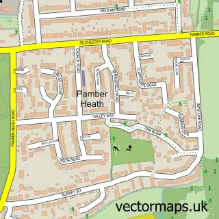
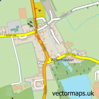
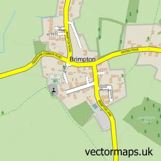
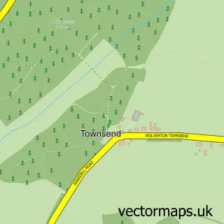
Nearby street map samples around Heath End

More street maps in Hampshire
750 metre map area coverage
Boundary, postcode and point of interest information for the 750m x 750m rectangle centred on this sample map.
Boundaries containing map centre
Constituency: North West Hampshire Co Const
County: Hampshire County
District: Basingstoke and Deane District (B)
Icb: NHS Hampshire and Isle of Wight ICB
Parish: Baughurst CP
Police Force: hampshire
Postcode District: RG26
Postcode Sector: RG26 5
Ward: Tadley North, Kingsclere & Baughurst Ward
Nearby boundaries intersecting sample
Parish: Tadley CP
Postcode Sector: RG26 4
Ward: Tadley & Pamber Ward
Postcode coverage
POI category counts
Indian Restaurant: 4
Pub: 4
Fast Food Restaurant: 2
Art Gallery: 1
Automotive: 1
Automotive Repair: 1
Automotive Services And Repair: 1
Barber: 1
Broadcasting Media Production: 1
Building Supply Store: 1
Sample points of interest
- Concrete Sketchbook
- Mobile Motor Glass
- J B Motors
- Your IT Workplace
- Sweeney Todd
- PJ Voiceovers
- Phil Russell Bathroom & Kitchen Installations
- Grillz Tadley
- Kieran’s Car Wash
- Gourmet Queens
- Lions Club of Loddon Valley
- Heath End Village Hall
Create a larger editable map of Heath End
This sample shows only a 750 metre area. To create a larger map of Heath End, use our map builder to choose your own coverage area, add titles and download editable SVG, PDF and PNG files.
Create a custom map of Heath End