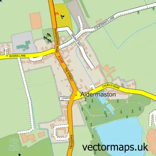
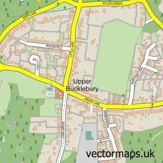
This Brimpton street map is a detailed vector street map covering a 750m x 750m area. Select a larger area to create and download your own vector street map of Brimpton.
The 750-metre map sample for Brimpton covers 116 mapped buildings and approximately 8.8 km of road detail, of which 9 named roads are named. The immediate area includes 1 school and 1 MOT station within 2 miles. To create a larger or custom map of Brimpton, the map builder lets you define your own coverage area and download editable SVG, PDF and PNG files.
Create a larger editable map of Brimpton
Choose any area you need and generate a high-quality vector map instantly. Perfect for print, planning, design, business and personal use.

This Brimpton street map in Berkshire is available as downloadable SVG, PDF and PNG map files, or as a printed map for planning, business, display, education, local information and design work. You can also create a larger custom map area using the map selector.
What this Brimpton map sample shows
Brimpton lies within Brimpton Cp parish, part of Aldermaston ward in the West Berkshire local authority area. The postcode geography for this area includes the RG postcode area, the RG7 postcode district and the RG7 4 postcode sector. Residents fall under the Nhs Buckinghamshire, Oxfordshire And Berkshire West Integrated Care Board for NHS services.
Local features near Brimpton
Within 2 milesAmenities and services in and around Brimpton.
Administrative and postcode information for Brimpton
The local authority covering Brimpton is West Berkshire, within the county of Berkshire. The settlement lies within Aldermaston ward and Brimpton Cp civil parish. The RG7 postcode district and RG7 4 postcode sector serve the immediate area. NHS provision in the area is delivered through Royal Berkshire Nhs Foundation Trust.
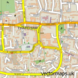
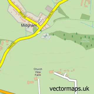
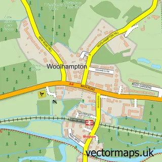
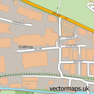
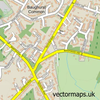
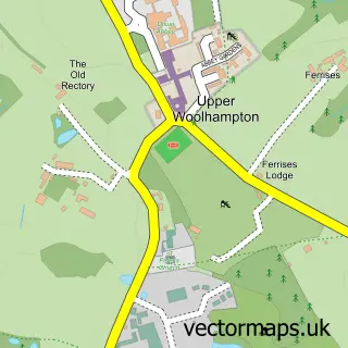
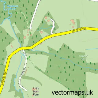
Nearby street map samples around Brimpton

More street maps in Berkshire
750 metre map area coverage
Boundary, postcode and point of interest information for the 750m x 750m rectangle centred on this sample map.
Boundaries containing map centre
Constituency: Reading West and Mid Berkshire Co Const
District: West Berkshire
Icb: NHS Thames Valley ICB
Parish: Brimpton CP
Police Force: thames valley
Postcode District: RG7
Postcode Sector: RG7 4
Ward: Aldermaston Ward
Nearby boundaries intersecting sample
Postcode District: RG19
Postcode Sector: RG19 8
Postcode coverage
POI category counts
Accountant: 1
Adult Education: 1
Anglican Church: 1
Beauty Product Supplier: 1
Church Cathedral: 1
Day Spa: 1
Elementary School: 1
Hair Salon: 1
Organization: 1
Retail: 1
Sample points of interest
- PSL Inn Touch
- Multi Trades Training
- Brimpton St Peter
- Belle Beauty
- Brimpton Baptist Church
- Massage Sanctuary Aromatherapy
- Brimpton Church of England Primary School
- Georgina Hill Hairdressing
- European Point-Of-Use Drinking Water Association
- Proteus102
Create a larger editable map of Brimpton
This sample shows only a 750 metre area. To create a larger map of Brimpton, use our map builder to choose your own coverage area, add titles and download editable SVG, PDF and PNG files.
Create a custom map of Brimpton