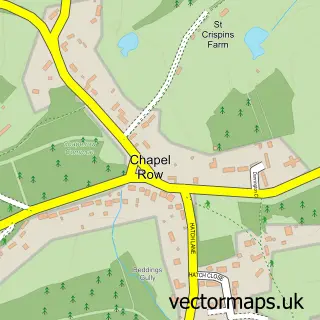
This Colthrop street map is a detailed vector street map covering a 750m x 750m area. Select a larger area to create and download your own vector street map of Colthrop.
The 750-metre map sample for Colthrop covers 63 mapped buildings and approximately 9.7 km of road detail, of which 7 named roads are named. The immediate area includes 2 GP surgeries within 2 miles and 5 MOT stations within 2 miles. To create a larger or custom map of Colthrop, the map builder lets you define your own coverage area and download editable SVG, PDF and PNG files.
Create a larger editable map of Colthrop
Choose any area you need and generate a high-quality vector map instantly. Perfect for print, planning, design, business and personal use.

This Colthrop street map in Berkshire is available as downloadable SVG, PDF and PNG map files, or as a printed map for planning, business, display, education, local information and design work. You can also create a larger custom map area using the map selector.
What this Colthrop map sample shows
Colthrop lies within Thatcham Cp parish, part of Thatcham Colthrop & Crookham ward in the West Berkshire local authority area. The postcode geography for this area includes the RG postcode area, the RG19 postcode district and the RG19 4 postcode sector. Residents fall under the Nhs Buckinghamshire, Oxfordshire And Berkshire West Integrated Care Board for NHS services.
Local features near Colthrop
Within 2 milesAmenities and services in and around Colthrop.
Administrative and postcode information for Colthrop
Colthrop lies within Thatcham Cp parish, part of Thatcham Colthrop & Crookham ward in the West Berkshire local authority area. The postcode geography for this area includes the RG postcode area, the RG19 postcode district and the RG19 4 postcode sector. Residents fall under the Nhs Buckinghamshire, Oxfordshire And Berkshire West Integrated Care Board for NHS services.
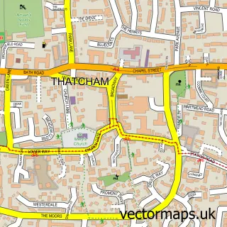
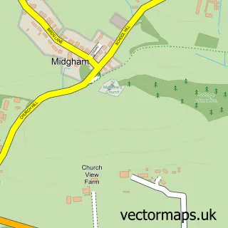
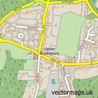
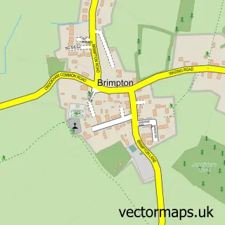
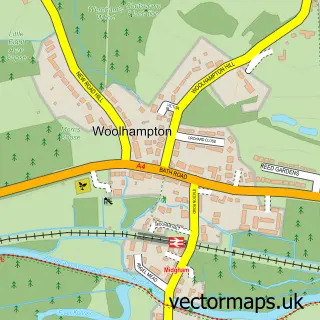
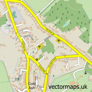
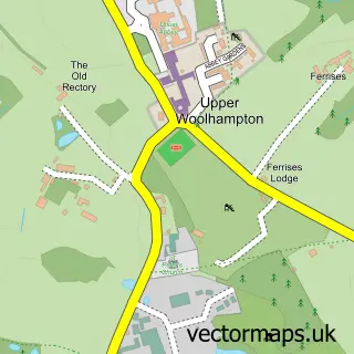
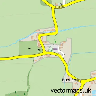
Nearby street map samples around Colthrop

More street maps in Berkshire
750 metre map area coverage
Boundary, postcode and point of interest information for the 750m x 750m rectangle centred on this sample map.
Boundaries containing map centre
Constituency: Newbury Co Const
District: West Berkshire
Icb: NHS Thames Valley ICB
Parish: Thatcham CP
Police Force: thames valley
Postcode District: RG19
Postcode Sector: RG19 4
Ward: Thatcham Colthrop & Crookham Ward
Nearby boundaries intersecting sample
Postcode District: RG18
Postcode Sector: RG18 4
Ward: Thatcham North East Ward
Postcode coverage
POI category counts
Freight And Cargo Service: 5
Building Supply Store: 4
Packing Supply: 3
Telecommunications: 3
Automotive Repair: 2
Business Manufacturing And Supply: 2
Garbage Collection Service: 2
It Service And Computer Repair: 2
Printing Services: 2
Retail: 2
Sample points of interest
- Colthrop
- Thatcham Research
- Berkshire Commercial Repairs
- V Engineering
- Childrens Curtain Company
- Dawnus Construction Holdings
- Forterra
- Ite Uk
- Prestige Network Ltd.
- Celestron Global Limited
- Externiture
- GowringsVersa Mobility
Create a larger editable map of Colthrop
This sample shows only a 750 metre area. To create a larger map of Colthrop, use our map builder to choose your own coverage area, add titles and download editable SVG, PDF and PNG files.
Create a custom map of Colthrop