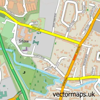
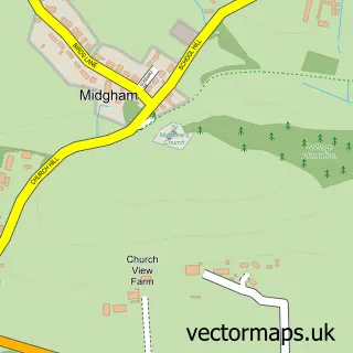
This Cold Ash street map is a detailed vector street map covering a 750m x 750m area. Select a larger area to create and download your own vector street map of Cold Ash.
The 750-metre map sample for Cold Ash covers 279 mapped buildings and approximately 9.2 km of road detail, of which 13 named roads are named. The immediate area includes 1 school, 1 GP surgery within 2 miles, 4 pubs and 5 MOT stations within 2 miles. The wider area around Cold Ash features 4 food and drink venues. To create a larger or custom map of Cold Ash, the map builder lets you define your own coverage area and download editable SVG, PDF and PNG files.
Create a larger editable map of Cold Ash
Choose any area you need and generate a high-quality vector map instantly. Perfect for print, planning, design, business and personal use.

This Cold Ash street map in Berkshire is available as downloadable SVG, PDF and PNG map files, or as a printed map for planning, business, display, education, local information and design work. You can also create a larger custom map area using the map selector.
What this Cold Ash map sample shows
Cold Ash lies within Cold Ash Cp parish, part of Chieveley & Cold Ash ward in the West Berkshire local authority area. The postcode geography for this area includes the RG postcode area, the RG18 postcode district and the RG18 9 postcode sector. Residents fall under the Nhs Buckinghamshire, Oxfordshire And Berkshire West Integrated Care Board for NHS services.
Local features near Cold Ash
Within 2 milesAmenities and services in and around Cold Ash.
Administrative and postcode information for Cold Ash
The local authority covering Cold Ash is West Berkshire, within the county of Berkshire. The settlement lies within Chieveley & Cold Ash ward and Cold Ash Cp civil parish. The RG18 postcode district and RG18 9 postcode sector serve the immediate area. NHS provision in the area is delivered through Royal Berkshire Nhs Foundation Trust.
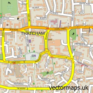
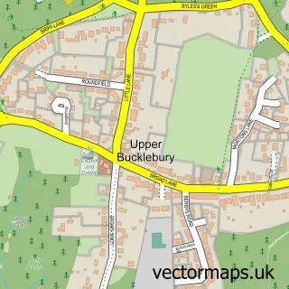
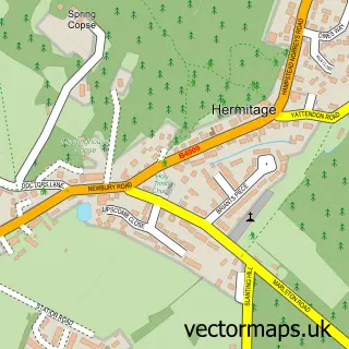
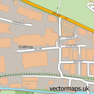
Nearby street map samples around Cold Ash

More street maps in Berkshire
750 metre map area coverage
Boundary, postcode and point of interest information for the 750m x 750m rectangle centred on this sample map.
Boundaries containing map centre
Constituency: Newbury Co Const
District: West Berkshire
Icb: NHS Thames Valley ICB
Parish: Cold Ash CP
Police Force: thames valley
Postcode District: RG18
Postcode Sector: RG18 9
Ward: Chieveley & Cold Ash Ward
Nearby boundaries intersecting sample
No additional intersecting boundaries found.
Postcode coverage
POI category counts
Pub: 4
Anglican Church: 1
Elementary School: 1
Fire Protection Service: 1
Hair Salon: 1
Interior Design: 1
It Service And Computer Repair: 1
Jewelry Store: 1
Martial Arts Club: 1
Massage Therapy: 1
Sample points of interest
- Cold Ash: St Mark
- Cold Ash St. Mark's Church of England Primary School
- LS Fire Solutions Ltd
- Nikki Hindmarch Hair
- Property Styling Network
- Microclear
- FeyreJewellery
- Cold Ash K.O.
- Wellbeing Naturally
- Lets Play Rock Ltd
- Amy's Gentle Dog Training
- Happy Tails
Create a larger editable map of Cold Ash
This sample shows only a 750 metre area. To create a larger map of Cold Ash, use our map builder to choose your own coverage area, add titles and download editable SVG, PDF and PNG files.
Create a custom map of Cold Ash