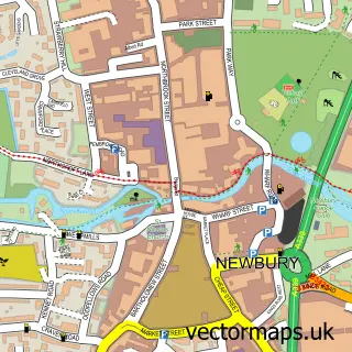
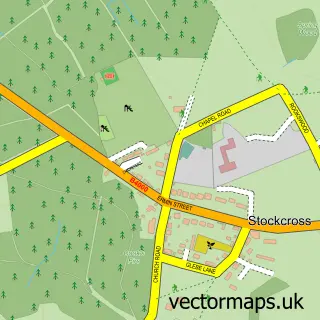
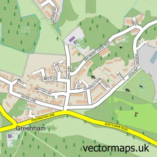
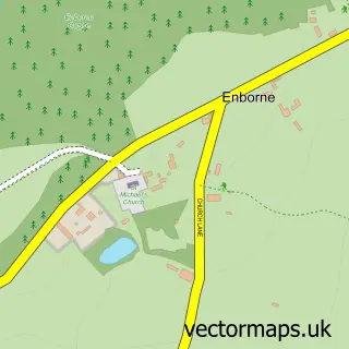
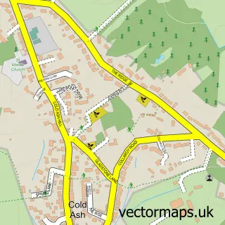
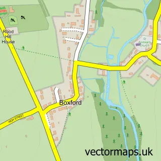
This Donnington street map is a detailed vector street map covering a 750m x 750m area. Select a larger area to create and download your own vector street map of Donnington.
The 750-metre map sample for Donnington covers 283 mapped buildings and approximately 9.1 km of road detail, of which 7 named roads are named. The immediate area includes 2 schools, 2 GP surgeries within 2 miles, 3 pubs and 21 MOT stations within 2 miles. The wider area around Donnington features 3 tourism points of interest and 4 food and drink venues. To create a larger or custom map of Donnington, the map builder lets you define your own coverage area and download editable SVG, PDF and PNG files.
Create a larger editable map of Donnington
Choose any area you need and generate a high-quality vector map instantly. Perfect for print, planning, design, business and personal use.

This Donnington street map in Berkshire is available as downloadable SVG, PDF and PNG map files, or as a printed map for planning, business, display, education, local information and design work. You can also create a larger custom map area using the map selector.
What this Donnington map sample shows
Donnington lies within Shaw Cum Donnington Cp parish, part of Newbury Speen ward in the West Berkshire local authority area. The postcode geography for this area includes the RG postcode area, the RG14 postcode district and the RG14 2 postcode sector. Residents fall under the Nhs Buckinghamshire, Oxfordshire And Berkshire West Integrated Care Board for NHS services.
Local features near Donnington
Within 2 milesAmenities and services in and around Donnington.
Administrative and postcode information for Donnington
The local authority covering Donnington is West Berkshire, within the county of Berkshire. The settlement lies within Newbury Speen ward and Shaw Cum Donnington Cp civil parish. The RG14 postcode district and RG14 2 postcode sector serve the immediate area. NHS provision in the area is delivered through Royal Berkshire Nhs Foundation Trust.
Nearby street map samples around Donnington

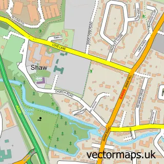
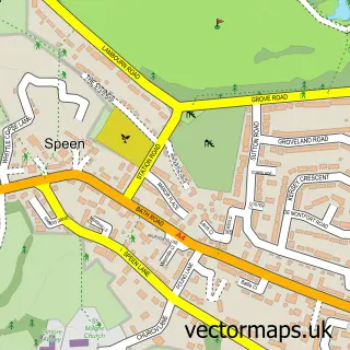
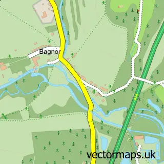
More street maps in Berkshire
750 metre map area coverage
Boundary, postcode and point of interest information for the 750m x 750m rectangle centred on this sample map.
Boundaries containing map centre
Constituency: Newbury Co Const
District: West Berkshire
Icb: NHS Thames Valley ICB
Parish: Shaw cum Donnington CP
Police Force: thames valley
Postcode District: RG14
Postcode Sector: RG14 3
Ward: Newbury Speen Ward
Nearby boundaries intersecting sample
Postcode Sector: RG14 2
Postcode coverage
POI category counts
Pub: 3
Park: 2
Retirement Home: 2
Advertising Agency: 1
Arts And Entertainment: 1
Auction House: 1
Bed And Breakfast: 1
Building Supply Store: 1
Cafe: 1
Clothing Store: 1
Sample points of interest
- Internet Dental Marketing
- Three Horseshoes
- The Fine Art Auction Group Limited
- Crab & Boar
- All Aspect
- Honesty Cafe
- Leatham Cashmere
- Donnington Cricket Club
- The Castle School
- The Greek Table
- David Wilson Homes - Donnington Heights
- Donnington
Create a larger editable map of Donnington
This sample shows only a 750 metre area. To create a larger map of Donnington, use our map builder to choose your own coverage area, add titles and download editable SVG, PDF and PNG files.
Create a custom map of Donnington