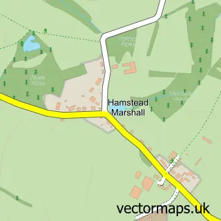
This Stockcross street map is a detailed vector street map covering a 750m x 750m area. Select a larger area to create and download your own vector street map of Stockcross.
The 750-metre map sample for Stockcross covers 83 mapped buildings and approximately 8.0 km of road detail, of which 6 named roads are named. The immediate area includes 1 school and 1 MOT station within 2 miles. The wider area around Stockcross features 1 tourism point of interest and 1 food and drink venue. To create a larger or custom map of Stockcross, the map builder lets you define your own coverage area and download editable SVG, PDF and PNG files.
Create a larger editable map of Stockcross
Choose any area you need and generate a high-quality vector map instantly. Perfect for print, planning, design, business and personal use.

This Stockcross street map in Berkshire is available as downloadable SVG, PDF and PNG map files, or as a printed map for planning, business, display, education, local information and design work. You can also create a larger custom map area using the map selector.
What this Stockcross map sample shows
Stockcross lies within Speen Cp parish, part of Newbury Speen ward in the West Berkshire local authority area. The postcode geography for this area includes the RG postcode area, the RG20 postcode district and the RG20 8 postcode sector. Residents fall under the Nhs Buckinghamshire, Oxfordshire And Berkshire West Integrated Care Board for NHS services.
Local features near Stockcross
Within 2 milesAmenities and services in and around Stockcross.
Administrative and postcode information for Stockcross
The local authority covering Stockcross is West Berkshire, within the county of Berkshire. The settlement lies within Newbury Speen ward and Speen Cp civil parish. The RG20 postcode district and RG20 8 postcode sector serve the immediate area. NHS provision in the area is delivered through Great Western Hospitals Nhs Foundation Trust.
Nearby street map samples around Stockcross
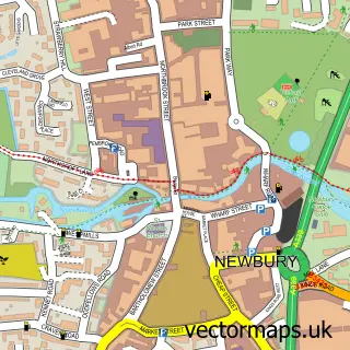

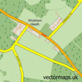
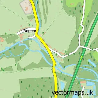
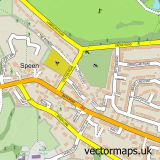
More street maps in Berkshire
750 metre map area coverage
Boundary, postcode and point of interest information for the 750m x 750m rectangle centred on this sample map.
Boundaries containing map centre
Constituency: Newbury Co Const
District: West Berkshire
Icb: NHS Thames Valley ICB
Parish: Speen CP
Police Force: thames valley
Postcode District: RG20
Postcode Sector: RG20 8
Ward: Newbury Speen Ward
Nearby boundaries intersecting sample
No additional intersecting boundaries found.
Postcode coverage
POI category counts
Retirement Home: 2
Coffee Shop: 1
Currency Exchange: 1
Dance School: 1
Housing Cooperative: 1
Korean Grocery Store: 1
Medical Center: 1
Park: 1
Post Office: 1
School: 1
Sample points of interest
- Stockcross Stores
- Post Office Travel Money
- Baby Ballerinas
- Hanover Green - Anchor
- Post Office-Stockcross
- Newdale Court
- Stockcross Recreation Ground
- Stockcross Post Office
- Bayford House Care Home
- Bupa UK
- Stockcross C E Primary School
- New Stockcross Village Stores
Create a larger editable map of Stockcross
This sample shows only a 750 metre area. To create a larger map of Stockcross, use our map builder to choose your own coverage area, add titles and download editable SVG, PDF and PNG files.
Create a custom map of Stockcross