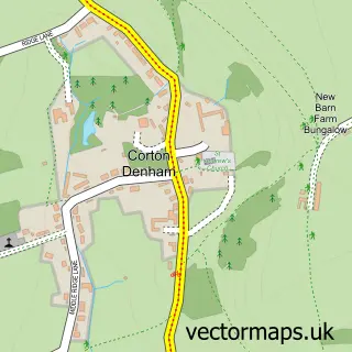
This Charlton Horethorne street map is a detailed vector street map covering a 750m x 750m area. Select a larger area to create and download your own vector street map of Charlton Horethorne.
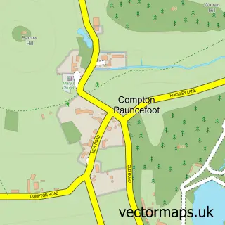
The 750-metre map sample for Charlton Horethorne covers 175 mapped buildings and approximately 17.0 km of road detail, of which 16 named roads are named. The immediate area includes 1 school and 3 pubs. The wider area around Charlton Horethorne features 1 tourism point of interest and 3 food and drink venues. To create a larger or custom map of Charlton Horethorne, the map builder lets you define your own coverage area and download editable SVG, PDF and PNG files.
Create a larger editable map of Charlton Horethorne
Choose any area you need and generate a high-quality vector map instantly. Perfect for print, planning, design, business and personal use.

This Charlton Horethorne street map in Somerset is available as downloadable SVG, PDF and PNG map files, or as a printed map for planning, business, display, education, local information and design work. You can also create a larger custom map area using the map selector.
What this Charlton Horethorne map sample shows
Charlton Horethorne lies within Charlton Horethorne Cp parish, part of Blackmoor Vale ward in the Somerset local authority area. The postcode geography for this area includes the DT postcode area, the DT9 postcode district and the DT9 4 postcode sector. Residents fall under the Nhs Somerset Integrated Care Board for NHS services.
Local features near Charlton Horethorne
Within 2 milesAmenities and services in and around Charlton Horethorne.
Administrative and postcode information for Charlton Horethorne
Charlton Horethorne lies within Charlton Horethorne Cp parish, part of Blackmoor Vale ward in the Somerset local authority area. The postcode geography for this area includes the DT postcode area, the DT9 postcode district and the DT9 4 postcode sector. Residents fall under the Nhs Somerset Integrated Care Board for NHS services.
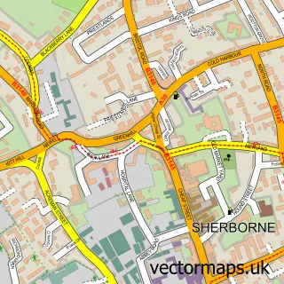
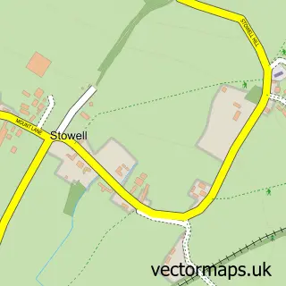
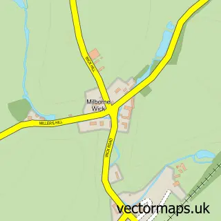
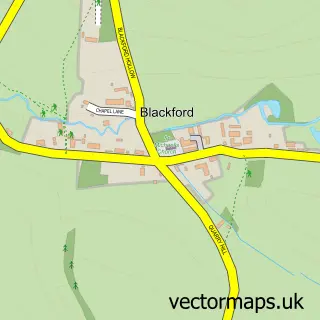
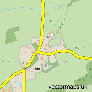
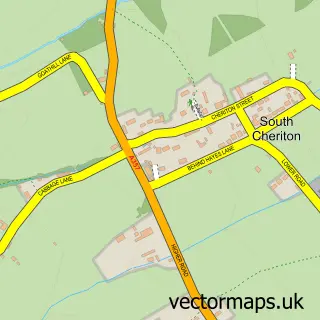
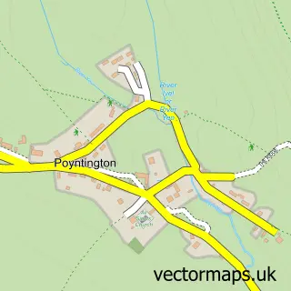
Nearby street map samples around Charlton Horethorne

More street maps in Somerset
750 metre map area coverage
Boundary, postcode and point of interest information for the 750m x 750m rectangle centred on this sample map.
Boundaries containing map centre
Constituency: Glastonbury and Somerton Co Const
District: Somerset
Icb: NHS Somerset ICB
Parish: Charlton Horethorne CP
Police Force: avon and somerset
Postcode District: DT9
Postcode Sector: DT9 4
Nearby boundaries intersecting sample
No additional intersecting boundaries found.
Postcode coverage
POI category counts
Pub: 3
Antique Store: 2
Bed And Breakfast: 2
Grocery Store: 2
Anglican Church: 1
Building Supply Store: 1
Car Dealer: 1
Convenience Store: 1
Elementary School: 1
Farmers Market: 1
Sample points of interest
- St Peter & St Paul
- On-reflection Mirrors
- On-reflection Mirrors Ltd.
- Longbar Farm
- Longbar Farm
- Lifestyle Landscapes
- Unipart Car Care Centre
- Charlton Horethorne Village Shop
- Charlton Horethorne Church of England Primary School
- The Orchard pop up market
- Charlton Horethorne Village Stores
- Charlton Horethorne Village Stores
Create a larger editable map of Charlton Horethorne
This sample shows only a 750 metre area. To create a larger map of Charlton Horethorne, use our map builder to choose your own coverage area, add titles and download editable SVG, PDF and PNG files.
Create a custom map of Charlton Horethorne