This Sherborne street map is a detailed vector street map covering a 750m x 750m area. Select a larger area to create and download your own vector street map of Sherborne.
The 750-metre map sample for Sherborne covers 381 mapped buildings and approximately 19.2 km of road detail, of which 40 named roads are named. The immediate area includes 2 schools, 1 GP surgery, with 2 within 2 miles, 6 pubs and 4 MOT stations within 2 miles. The wider area around Sherborne features 4 tourism points of interest, 19 food and drink venues and 1 hotel. To create a larger or custom map of Sherborne, the map builder lets you define your own coverage area and download editable SVG, PDF and PNG files.
Create a larger editable map of Sherborne
Choose any area you need and generate a high-quality vector map instantly. Perfect for print, planning, design, business and personal use.

This Sherborne street map in Dorset is available as downloadable SVG, PDF and PNG map files, or as a printed map for planning, business, display, education, local information and design work. You can also create a larger custom map area using the map selector.
What this Sherborne map sample shows
Sherborne lies within Sherborne Cp parish, part of Sherborne West ward in the Dorset local authority area. The postcode geography for this area includes the DT postcode area, the DT9 postcode district and the DT9 4 postcode sector. Residents fall under the Nhs Dorset Integrated Care Board for NHS services.
Local features near Sherborne
Within 2 milesAmenities and services in and around Sherborne.
Administrative and postcode information for Sherborne
Sherborne lies within Sherborne Cp parish, part of Sherborne West ward in the Dorset local authority area. The postcode geography for this area includes the DT postcode area, the DT9 postcode district and the DT9 4 postcode sector. Residents fall under the Nhs Dorset Integrated Care Board for NHS services.
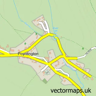
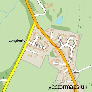
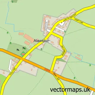
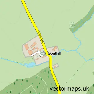
Nearby street map samples around Sherborne

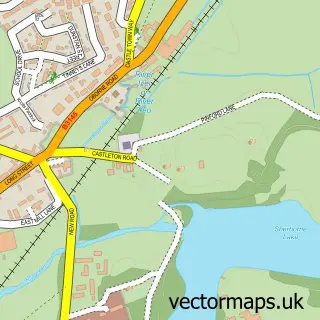
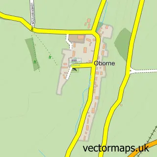
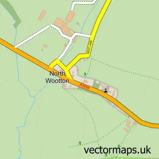
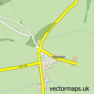
More street maps in Dorset
750 metre map area coverage
Boundary, postcode and point of interest information for the 750m x 750m rectangle centred on this sample map.
Boundaries containing map centre
Constituency: West Dorset Co Const
District: Dorset
Icb: NHS Dorset ICB
Parish: Sherborne CP
Police Force: dorset
Postcode District: DT9
Postcode Sector: DT9 3
Ward: Sherborne West Ward
Nearby boundaries intersecting sample
Postcode Sector: DT9 4
Ward: Sherborne East Ward
Postcode coverage
POI category counts
Clothing Store: 15
Real Estate Agent: 12
Antique Store: 8
Charity Organization: 7
Bakery: 6
Doctor: 6
Hair Salon: 6
Pub: 6
Restaurant: 6
Barber: 5
Sample points of interest
- Lanham & Francis
- Lolly
- Shelleys the Printers
- Top Lodge Equestrian
- RSPCA
- Austyn Fine, Strange & Remarkable Objects
- Henry Willis Antique Silver
- Jaspers Antiques
- Macintosh Antiques
- Piers Pisani Antiques
- Quarterjack and Company
- Sherborne Antiques Market
Create a larger editable map of Sherborne
This sample shows only a 750 metre area. To create a larger map of Sherborne, use our map builder to choose your own coverage area, add titles and download editable SVG, PDF and PNG files.
Create a custom map of Sherborne