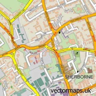
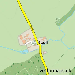
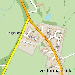
This Castleton street map is a detailed vector street map covering a 750m x 750m area. Select a larger area to create and download your own vector street map of Castleton.
The 750-metre map sample for Castleton covers 189 mapped buildings and approximately 11.6 km of road detail, of which 17 named roads are named. The immediate area includes 1 GP surgery, with 3 within 2 miles and 1 MOT station, with 5 within 2 miles. The wider area around Castleton features 6 tourism points of interest and 1 food and drink venue. To create a larger or custom map of Castleton, the map builder lets you define your own coverage area and download editable SVG, PDF and PNG files.
Create a larger editable map of Castleton
Choose any area you need and generate a high-quality vector map instantly. Perfect for print, planning, design, business and personal use.

This Castleton street map in Dorset is available as downloadable SVG, PDF and PNG map files, or as a printed map for planning, business, display, education, local information and design work. You can also create a larger custom map area using the map selector.
What this Castleton map sample shows
Castleton lies within Sherborne Cp parish, part of Sherborne West ward in the Dorset local authority area. The postcode geography for this area includes the DT postcode area, the DT9 postcode district and the DT9 4 postcode sector. Residents fall under the Nhs Dorset Integrated Care Board for NHS services.
Local features near Castleton
Within 2 milesAmenities and services in and around Castleton.
Administrative and postcode information for Castleton
Castleton lies within Sherborne Cp parish, part of Sherborne West ward in the Dorset local authority area. The postcode geography for this area includes the DT postcode area, the DT9 postcode district and the DT9 4 postcode sector. Residents fall under the Nhs Dorset Integrated Care Board for NHS services.
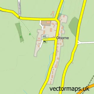
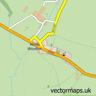
Nearby street map samples around Castleton

More street maps in Dorset
750 metre map area coverage
Boundary, postcode and point of interest information for the 750m x 750m rectangle centred on this sample map.
Boundaries containing map centre
Constituency: West Dorset Co Const
District: Dorset
Icb: NHS Dorset ICB
Parish: Castleton CP
Police Force: dorset
Postcode District: DT9
Postcode Sector: DT9 3
Ward: Sherborne Rural Ward
Nearby boundaries intersecting sample
Parish: Sherborne CP
Postcode Sector: DT9 5
Ward: Sherborne East Ward
Postcode coverage
POI category counts
Castle: 3
Church Cathedral: 2
Construction Services: 2
Doctor: 2
Financial Service: 2
Hiking Trail: 2
Real Estate Agent: 2
Amusement Park: 1
Anglican Church: 1
Art Gallery: 1
Sample points of interest
- Heave Ho
- Castleton: St Mary Magdalene
- Richard Bramble
- Bridleways
- Burchell Interiors
- Castle Garden Centre
- Sherborne Castle
- Sherborne Old Castle
- McTimoney Chiropractor - Joanna Loutsis
- Castleton Church
- Sacred Heart & St Aldhelm RC Church
- Crew Clothing Company
Create a larger editable map of Castleton
This sample shows only a 750 metre area. To create a larger map of Castleton, use our map builder to choose your own coverage area, add titles and download editable SVG, PDF and PNG files.
Create a custom map of Castleton