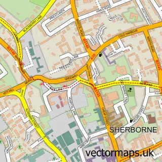
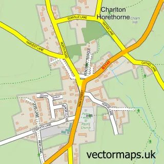
This Milborne Port street map is a detailed vector street map covering a 750m x 750m area. Select a larger area to create and download your own vector street map of Milborne Port.
The 750-metre map sample for Milborne Port covers 525 mapped buildings and approximately 19.2 km of road detail, of which 51 named roads are named. The immediate area includes 1 school, 1 GP surgery within 2 miles, 3 pubs and 1 MOT station. The wider area around Milborne Port features 5 food and drink venues. To create a larger or custom map of Milborne Port, the map builder lets you define your own coverage area and download editable SVG, PDF and PNG files.
Create a larger editable map of Milborne Port
Choose any area you need and generate a high-quality vector map instantly. Perfect for print, planning, design, business and personal use.

This Milborne Port street map in Somerset is available as downloadable SVG, PDF and PNG map files, or as a printed map for planning, business, display, education, local information and design work. You can also create a larger custom map area using the map selector.
What this Milborne Port map sample shows
Milborne Port lies within Milborne Port Cp parish, part of Milborne Port ward in the Somerset local authority area. The postcode geography for this area includes the DT postcode area, the DT9 postcode district and the DT9 5 postcode sector. Residents fall under the Nhs Somerset Integrated Care Board for NHS services.
Local features near Milborne Port
Within 2 milesAmenities and services in and around Milborne Port.
Administrative and postcode information for Milborne Port
The local authority covering Milborne Port is Somerset, within the county of Somerset. The settlement lies within Milborne Port ward and Milborne Port Cp civil parish. The DT9 postcode district and DT9 5 postcode sector serve the immediate area. NHS provision in the area is delivered through Yeovil District Hospital Nhs Foundation Trust.
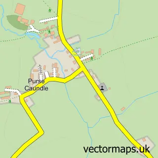
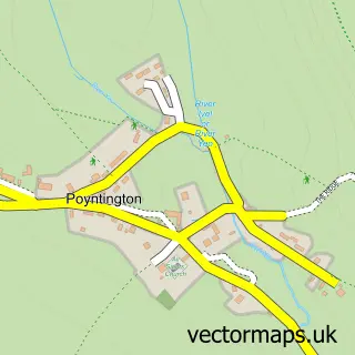
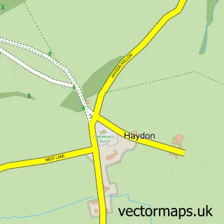
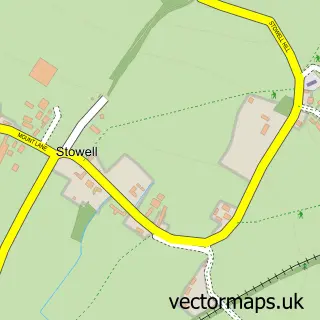
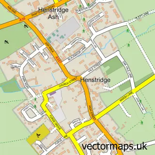
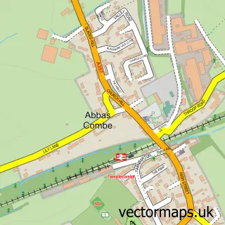
Nearby street map samples around Milborne Port


More street maps in Somerset
750 metre map area coverage
Boundary, postcode and point of interest information for the 750m x 750m rectangle centred on this sample map.
Boundaries containing map centre
Constituency: Glastonbury and Somerton Co Const
District: Somerset
Icb: NHS Somerset ICB
Parish: Milborne Port CP
Police Force: avon and somerset
Postcode District: DT9
Postcode Sector: DT9 5
Nearby boundaries intersecting sample
No additional intersecting boundaries found.
Postcode coverage
POI category counts
Gas Station: 3
Pub: 3
Butcher Shop: 2
Grocery Store: 2
Library: 2
Shipping Center: 2
Taxi Service: 2
Acupuncture: 1
Advertising Agency: 1
Alternative Medicine: 1
Sample points of interest
- Acupoint
- IPT - International Phone Traders
- London Road Clinic
- St John the Evangelist
- Oak Apple
- Yarlington Housing Group
- Crackmore Garage
- Queens Head
- Serina's Beauty Salon
- The Clockspire Restaurant
- Wayne Pullen Butchers
- Wayne Pullen Butchers
Create a larger editable map of Milborne Port
This sample shows only a 750 metre area. To create a larger map of Milborne Port, use our map builder to choose your own coverage area, add titles and download editable SVG, PDF and PNG files.
Create a custom map of Milborne Port