This Charltons street map is a detailed vector street map covering a 750m x 750m area. Select a larger area to create and download your own vector street map of Charltons.
The 750-metre map sample for Charltons covers 46 mapped buildings and approximately 6.2 km of road detail, of which 1 named road are named. The immediate area includes 4 MOT stations within 2 miles. The wider area around Charltons features 1 tourism point of interest and 1 hotel. To create a larger or custom map of Charltons, the map builder lets you define your own coverage area and download editable SVG, PDF and PNG files.
Create a larger editable map of Charltons
Choose any area you need and generate a high-quality vector map instantly. Perfect for print, planning, design, business and personal use.

This Charltons street map in North Yorkshire is available as downloadable SVG, PDF and PNG map files, or as a printed map for planning, business, display, education, local information and design work. You can also create a larger custom map area using the map selector.
What this Charltons map sample shows
Charltons lies within Lockwood Cp parish, part of Lockwood ward in the Redcar And Cleveland (B) local authority area. The postcode geography for this area includes the TS postcode area, the TS12 postcode district and the TS12 3 postcode sector. Residents fall under the Nhs North East And North Cumbria Integrated Care Board for NHS services.
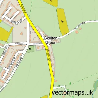
Local features near Charltons
Within 2 milesAmenities and services in and around Charltons.
Administrative and postcode information for Charltons
The local authority covering Charltons is Redcar And Cleveland (B), within the county of North Yorkshire. The settlement lies within Lockwood ward and Lockwood Cp civil parish. The TS12 postcode district and TS12 3 postcode sector serve the immediate area. NHS provision in the area is delivered through South Tees Hospitals Nhs Foundation Trust.
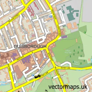
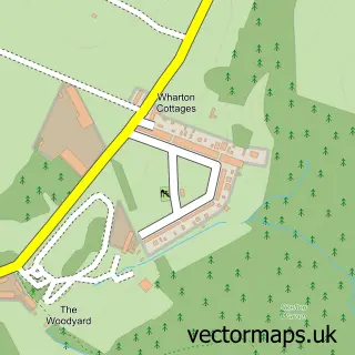
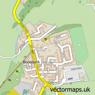
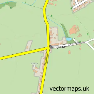
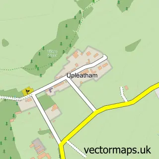
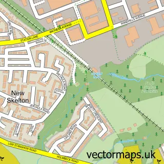
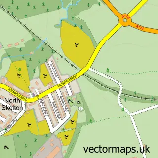
Nearby street map samples around Charltons


More street maps in North Yorkshire
750 metre map area coverage
Boundary, postcode and point of interest information for the 750m x 750m rectangle centred on this sample map.
Boundaries containing map centre
Constituency: Middlesbrough South and East Cleveland Co Const
District: Redcar and Cleveland (B)
Icb: NHS North East and North Cumbria ICB
Parish: Lockwood CP
Police Force: cleveland
Postcode District: TS12
Postcode Sector: TS12 3
Ward: Lockwood Ward
Nearby boundaries intersecting sample
Parish: Guisborough CP
Postcode District: TS14
Postcode Sector: TS14 6, TS14 7
Ward: Belmont Ward
Postcode coverage
POI category counts
Automotive Repair: 1
Building Supply Store: 1
Campground: 1
Charity Organization: 1
Community Center: 1
Environmental Conservation Organization: 1
Hotel: 1
Hunting And Fishing Supplies: 1
Post Office: 1
Professional Services: 1
Sample points of interest
- D P Refurbs
- North Yorkshire Sheds
- Margrove Park Holidays
- Tees Valley Wildlife Trust
- Charlton's Community Centre
- Tees Valley Nature Partnership
- Miners Lamp Cottage
- Carp Crazy Angling Centre
- Charltons Post Office
- Synergy Scaffolding
- Wileycat Wood
- Margrove Heritage Centre
Create a larger editable map of Charltons
This sample shows only a 750 metre area. To create a larger map of Charltons, use our map builder to choose your own coverage area, add titles and download editable SVG, PDF and PNG files.
Create a custom map of Charltons