This Cherhill street map is a detailed vector street map covering a 750m x 750m area. Select a larger area to create and download your own vector street map of Cherhill.
The 750-metre map sample for Cherhill covers 189 mapped buildings and approximately 5.8 km of road detail, of which 6 named roads are named. The immediate area includes 1 school and 1 pub. The wider area around Cherhill features 3 tourism points of interest and 2 food and drink venues. To create a larger or custom map of Cherhill, the map builder lets you define your own coverage area and download editable SVG, PDF and PNG files.
Create a larger editable map of Cherhill
Choose any area you need and generate a high-quality vector map instantly. Perfect for print, planning, design, business and personal use.

This Cherhill street map in Wiltshire is available as downloadable SVG, PDF and PNG map files, or as a printed map for planning, business, display, education, local information and design work. You can also create a larger custom map area using the map selector.
What this Cherhill map sample shows
Cherhill lies within Cherhill Cp parish, part of Calne South And Cherhill ward in the Wiltshire local authority area. The postcode geography for this area includes the SN postcode area, the SN11 postcode district and the SN11 8 postcode sector. Residents fall under the Nhs Bath And North East Somerset, Swindon And Wiltshire Integrated Care Board for NHS services.
Local features near Cherhill
Within 2 milesAmenities and services in and around Cherhill.
Administrative and postcode information for Cherhill
The local authority covering Cherhill is Wiltshire, within the county of Wiltshire. The settlement lies within Calne South And Cherhill ward and Cherhill Cp civil parish. The SN11 postcode district and SN11 8 postcode sector serve the immediate area. NHS provision in the area is delivered through Great Western Hospitals Nhs Foundation Trust.
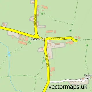
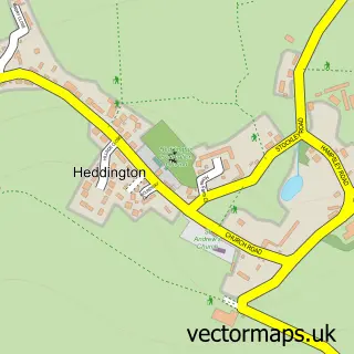
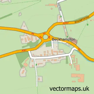
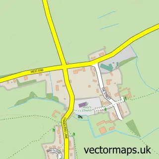
Nearby street map samples around Cherhill
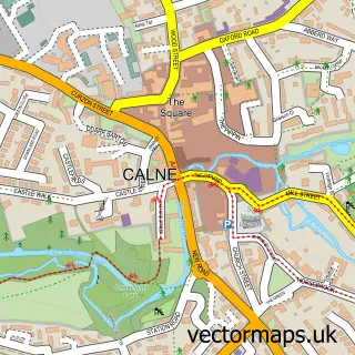

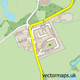
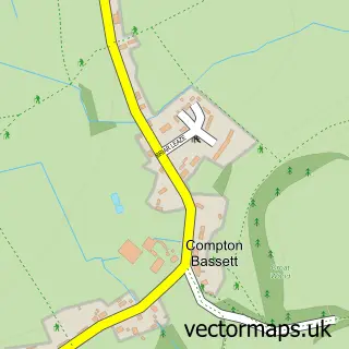
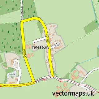

More street maps in Wiltshire
750 metre map area coverage
Boundary, postcode and point of interest information for the 750m x 750m rectangle centred on this sample map.
Boundaries containing map centre
Constituency: Chippenham Co Const
District: Wiltshire
Icb: NHS Bath and North East Somerset Swindon and Wiltshire ICB
Parish: Cherhill CP
Police Force: wiltshire
Postcode District: SN11
Postcode Sector: SN11 8
Nearby boundaries intersecting sample
No additional intersecting boundaries found.
Postcode coverage
POI category counts
Anglican Church: 1
Antique Store: 1
Attractions And Activities: 1
Bed And Breakfast: 1
Brewery: 1
Cafe: 1
Construction Services: 1
Contractor: 1
Elementary School: 1
First Aid Class: 1
Sample points of interest
- St James', Cherhill
- P A Oxley Antique Clocks
- Tommy Croker Playing Fields
- The Old Joinery
- Guinness Storehouse, Dublin
- Dandy Highwayman Coffee Shop
- Bodman Builders
- SWS Building Contractors
- Cherhill CE Primary School
- Wiltshire First Aid Training
- Calstone and Cherhill Downs
- Cherhill Village Hall
Create a larger editable map of Cherhill
This sample shows only a 750 metre area. To create a larger map of Cherhill, use our map builder to choose your own coverage area, add titles and download editable SVG, PDF and PNG files.
Create a custom map of Cherhill