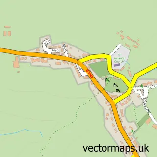
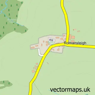
This Chulmleigh street map is a detailed vector street map covering a 750m x 750m area. Select a larger area to create and download your own vector street map of Chulmleigh.
The 750-metre map sample for Chulmleigh covers 338 mapped buildings and approximately 14.4 km of road detail, of which 22 named roads are named. The immediate area includes 1 GP surgery within 2 miles, 3 pubs and 1 MOT station, with 2 within 2 miles. The wider area around Chulmleigh features 5 food and drink venues and 1 hotel. To create a larger or custom map of Chulmleigh, the map builder lets you define your own coverage area and download editable SVG, PDF and PNG files.
Create a larger editable map of Chulmleigh
Choose any area you need and generate a high-quality vector map instantly. Perfect for print, planning, design, business and personal use.

This Chulmleigh street map in Devon is available as downloadable SVG, PDF and PNG map files, or as a printed map for planning, business, display, education, local information and design work. You can also create a larger custom map area using the map selector.
What this Chulmleigh map sample shows
Chulmleigh lies within Chulmleigh Cp parish, part of Chulmleigh ward in the North Devon District local authority area. The postcode geography for this area includes the EX postcode area, the EX18 postcode district and the EX18 7 postcode sector. Residents fall under the Nhs Devon Integrated Care Board for NHS services.
Local features near Chulmleigh
Within 2 milesAmenities and services in and around Chulmleigh.
Administrative and postcode information for Chulmleigh
The local authority covering Chulmleigh is North Devon District, within the county of Devon. The settlement lies within Chulmleigh ward and Chulmleigh Cp civil parish. The EX18 postcode district and EX18 7 postcode sector serve the immediate area. NHS provision in the area is delivered through Northern Devon Nhs Trust.
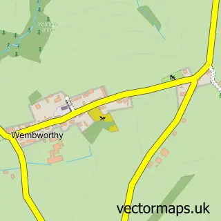
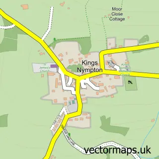
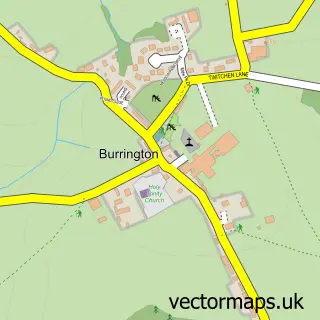
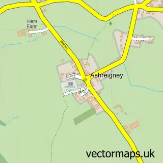
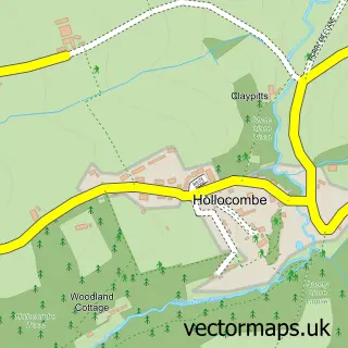
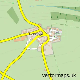
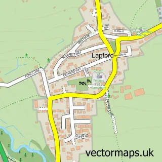
Nearby street map samples around Chulmleigh

More street maps in Devon
750 metre map area coverage
Boundary, postcode and point of interest information for the 750m x 750m rectangle centred on this sample map.
Boundaries containing map centre
Constituency: North Devon Co Const
County: Devon County
District: North Devon District
Icb: NHS Devon ICB
Parish: Chulmleigh CP
Police Force: devon and cornwall
Postcode District: EX18
Postcode Sector: EX18 7
Ward: Chulmleigh Ward
Nearby boundaries intersecting sample
No additional intersecting boundaries found.
Postcode coverage
POI category counts
Automotive Repair: 3
Bakery: 3
Pub: 3
Accountant: 2
Beer Bar: 2
Dentist: 2
Farm: 2
Flowers And Gifts Shop: 2
Gardener: 2
Post Office: 2
Sample points of interest
- Phoenix Bookkeeping
- Top Choice Accountants
- Chulmleigh Parish Church
- JAS Collectables
- Winston Pincombe
- CMF Wheel Rims
- ChipsAway Barnstaple
- Winston Pincombe
- Chulmleigh Bakery
- Chulmleigh Bakery
- The Old Bakehouse
- Lloyds Bank
Create a larger editable map of Chulmleigh
This sample shows only a 750 metre area. To create a larger map of Chulmleigh, use our map builder to choose your own coverage area, add titles and download editable SVG, PDF and PNG files.
Create a custom map of Chulmleigh