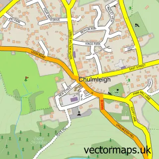
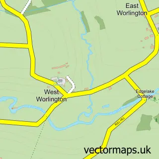
This Lapford street map is a detailed vector street map covering a 750m x 750m area. Select a larger area to create and download your own vector street map of Lapford.
The 750-metre map sample for Lapford covers 250 mapped buildings and approximately 11.1 km of road detail, of which 10 named roads are named. The immediate area includes 1 school, 1 pub and 1 MOT station within 2 miles. The wider area around Lapford features 1 tourism point of interest and 1 food and drink venue. To create a larger or custom map of Lapford, the map builder lets you define your own coverage area and download editable SVG, PDF and PNG files.
Create a larger editable map of Lapford
Choose any area you need and generate a high-quality vector map instantly. Perfect for print, planning, design, business and personal use.

This Lapford street map in Devon is available as downloadable SVG, PDF and PNG map files, or as a printed map for planning, business, display, education, local information and design work. You can also create a larger custom map area using the map selector.
What this Lapford map sample shows
Lapford lies within Lapford Cp parish, part of Taw Vale ward in the Mid Devon District local authority area. The postcode geography for this area includes the EX postcode area, the EX17 postcode district and the EX17 6 postcode sector. Residents fall under the Nhs Devon Integrated Care Board for NHS services.
Local features near Lapford
Within 2 milesAmenities and services in and around Lapford.
Administrative and postcode information for Lapford
The local authority covering Lapford is Mid Devon District, within the county of Devon. The settlement lies within Taw Vale ward and Lapford Cp civil parish. The EX17 postcode district and EX17 6 postcode sector serve the immediate area. NHS provision in the area is delivered through Royal Devon University Healthcare Nhs Foundation Trust.
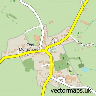
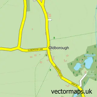
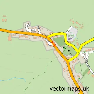
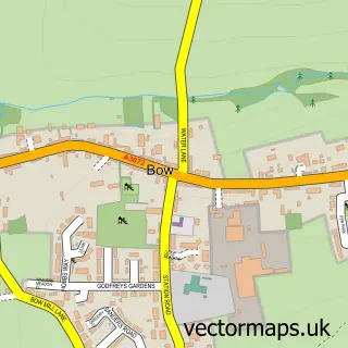
Nearby street map samples around Lapford

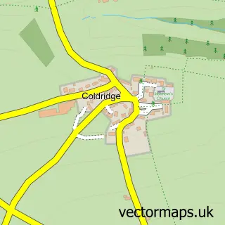
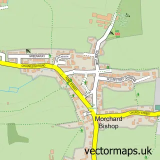
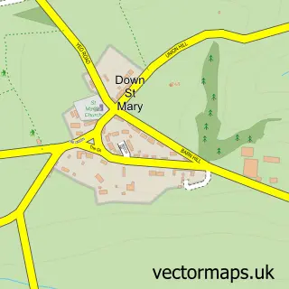
More street maps in Devon
750 metre map area coverage
Boundary, postcode and point of interest information for the 750m x 750m rectangle centred on this sample map.
Boundaries containing map centre
Constituency: Central Devon Co Const
County: Devon County
District: Mid Devon District
Icb: NHS Devon ICB
Parish: Lapford CP
Police Force: devon and cornwall
Postcode District: EX17
Postcode Sector: EX17 6
Ward: Taw Vale Ward
Nearby boundaries intersecting sample
No additional intersecting boundaries found.
Postcode coverage
POI category counts
Church Cathedral: 3
Anglican Church: 1
Elementary School: 1
Park: 1
Physical Therapy: 1
Printing Equipment And Supply: 1
Pub: 1
Public And Government Association: 1
Rental Service: 1
Scout Hall: 1
Sample points of interest
- St Thomas of Canterbury
- Church of St Thomas of Canterbury
- Lapford Congregational Church
- St Boniface Rc Church
- Lapford Primary School
- Lower town place
- Physio Works
- Include-in
- The Old Malt Scoop Inn
- Lapford Parish Council
- Powells Coaches
- 1st Lapford
Create a larger editable map of Lapford
This sample shows only a 750 metre area. To create a larger map of Lapford, use our map builder to choose your own coverage area, add titles and download editable SVG, PDF and PNG files.
Create a custom map of Lapford