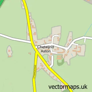
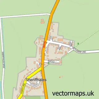
This Church Aston street map is a detailed vector street map covering a 750m x 750m area. Select a larger area to create and download your own vector street map of Church Aston.
The 750-metre map sample for Church Aston covers 351 mapped buildings and approximately 16.1 km of road detail, of which 28 named roads are named. The immediate area includes 1 school, 2 GP surgeries within 2 miles and 4 MOT stations within 2 miles. To create a larger or custom map of Church Aston, the map builder lets you define your own coverage area and download editable SVG, PDF and PNG files.
Create a larger editable map of Church Aston
Choose any area you need and generate a high-quality vector map instantly. Perfect for print, planning, design, business and personal use.

This Church Aston street map in Shropshire is available as downloadable SVG, PDF and PNG map files, or as a printed map for planning, business, display, education, local information and design work. You can also create a larger custom map area using the map selector.
What this Church Aston map sample shows
Church Aston lies within Newport Cp parish, part of Newport North & West ward in the Telford And Wrekin (B) local authority area. The postcode geography for this area includes the TF postcode area, the TF10 postcode district and the TF10 9 postcode sector. Residents fall under the Nhs Shropshire, Telford And Wrekin Integrated Care Board for NHS services.
Local features near Church Aston
Within 2 milesAmenities and services in and around Church Aston.
Administrative and postcode information for Church Aston
Church Aston lies within Newport Cp parish, part of Newport North & West ward in the Telford And Wrekin (B) local authority area. The postcode geography for this area includes the TF postcode area, the TF10 postcode district and the TF10 9 postcode sector. Residents fall under the Nhs Shropshire, Telford And Wrekin Integrated Care Board for NHS services.
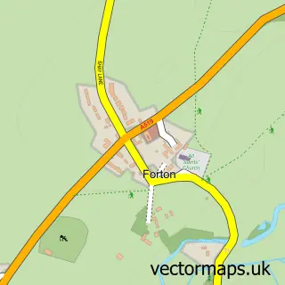
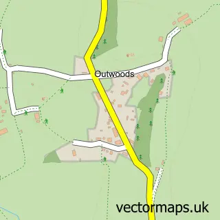
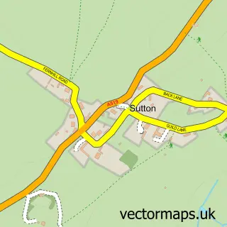
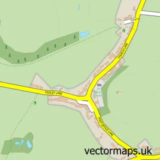
Nearby street map samples around Church Aston

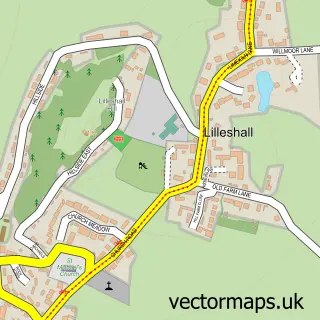
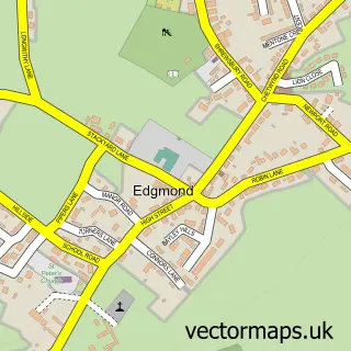
More street maps in Shropshire
750 metre map area coverage
Boundary, postcode and point of interest information for the 750m x 750m rectangle centred on this sample map.
Boundaries containing map centre
Constituency: The Wrekin Co Const
District: Telford and Wrekin (B)
Icb: NHS Shropshire Telford and Wrekin ICB
Parish: Church Aston CP
Police Force: west mercia
Postcode District: TF10
Postcode Sector: TF10 9
Ward: Church Aston & Lilleshall Ward
Nearby boundaries intersecting sample
Parish: Chetwynd Aston and Woodcote CP, Newport CP
Postcode Sector: TF10 7
Ward: Newport South Ward, Newport West Ward
Postcode coverage
POI category counts
Church Cathedral: 2
Professional Services: 2
Anglican Church: 1
Building Supply Store: 1
Corporate Entertainment Services: 1
Elementary School: 1
Foot Care: 1
Home Cleaning: 1
Home Service: 1
Hvac Supplier: 1
Sample points of interest
- St. Andrew's, Church Aston
- Alan Saunders Associates
- Church Aston St Andrews
- St Andrew's Church
- A Magical Experience
- Church Aston Infant School
- Chris Cobb Mobile Foot Care
- Queen Of Kleen
- Daisy Chain Daycare
- MPH Gas Ltd.
- Church And Chetwynd Aston Village Hall
- Church Aston Playground
Create a larger editable map of Church Aston
This sample shows only a 750 metre area. To create a larger map of Church Aston, use our map builder to choose your own coverage area, add titles and download editable SVG, PDF and PNG files.
Create a custom map of Church Aston