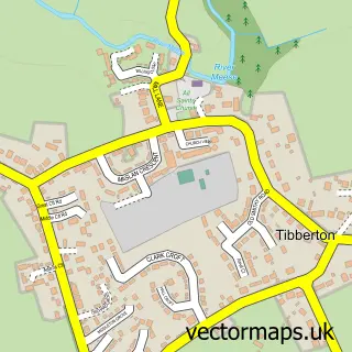
This Edgmond street map is a detailed vector street map covering a 750m x 750m area. Select a larger area to create and download your own vector street map of Edgmond.
The 750-metre map sample for Edgmond covers 268 mapped buildings and approximately 12.8 km of road detail, of which 18 named roads are named. The immediate area includes 1 school, 2 GP surgeries within 2 miles, 1 pub and 3 MOT stations within 2 miles. The wider area around Edgmond features 1 food and drink venue. To create a larger or custom map of Edgmond, the map builder lets you define your own coverage area and download editable SVG, PDF and PNG files.
Create a larger editable map of Edgmond
Choose any area you need and generate a high-quality vector map instantly. Perfect for print, planning, design, business and personal use.

This Edgmond street map in Shropshire is available as downloadable SVG, PDF and PNG map files, or as a printed map for planning, business, display, education, local information and design work. You can also create a larger custom map area using the map selector.
What this Edgmond map sample shows
Edgmond lies within Edgmond Cp parish, part of Edgmond & Ercall Magna ward in the Telford And Wrekin (B) local authority area. The postcode geography for this area includes the TF postcode area, the TF10 postcode district and the TF10 8 postcode sector. Residents fall under the Nhs Shropshire, Telford And Wrekin Integrated Care Board for NHS services.
Local features near Edgmond
Within 2 milesAmenities and services in and around Edgmond.
Administrative and postcode information for Edgmond
The local authority covering Edgmond is Telford And Wrekin (B), within the county of Shropshire. The settlement lies within Edgmond & Ercall Magna ward and Edgmond Cp civil parish. The TF10 postcode district and TF10 8 postcode sector serve the immediate area. NHS provision in the area is delivered through The Shrewsbury And Telford Hospital Nhs Trust.
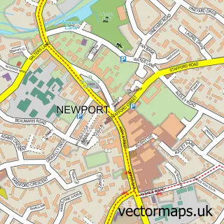
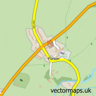
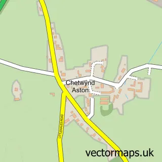
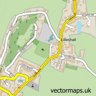
Nearby street map samples around Edgmond


More street maps in Shropshire
750 metre map area coverage
Boundary, postcode and point of interest information for the 750m x 750m rectangle centred on this sample map.
Boundaries containing map centre
Constituency: The Wrekin Co Const
District: Telford and Wrekin (B)
Icb: NHS Shropshire Telford and Wrekin ICB
Parish: Edgmond CP
Police Force: west mercia
Postcode District: TF10
Postcode Sector: TF10 8
Ward: Edgmond Ward
Nearby boundaries intersecting sample
No additional intersecting boundaries found.
Postcode coverage
POI category counts
Convenience Store: 3
Post Office: 2
Anglican Church: 1
Arts And Crafts: 1
Auto Electrical Repair: 1
Church Cathedral: 1
College University: 1
Community Center: 1
Corporate Entertainment Services: 1
Currency Exchange: 1
Sample points of interest
- St Peter's Edgmond
- Edgmond Pottery
- Gec Electrical Contractors
- St Peter's Church
- Edgmond Hall
- Edgmond Village Hall
- Edgmond Village Stores
- Edgmond Village Stores
- SPAR
- Powwow Face Painting
- Post Office Travel Money
- St Peter's Church of England Controlled Primary School
Create a larger editable map of Edgmond
This sample shows only a 750 metre area. To create a larger map of Edgmond, use our map builder to choose your own coverage area, add titles and download editable SVG, PDF and PNG files.
Create a custom map of Edgmond