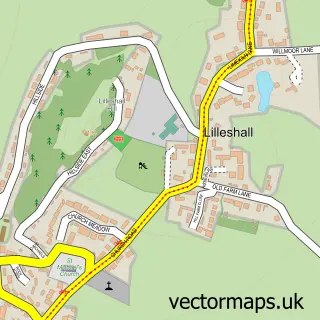
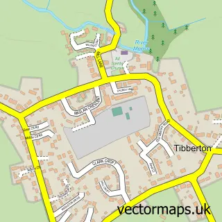
This Newport street map is a detailed vector street map covering a 750m x 750m area. Select a larger area to create and download your own vector street map of Newport.
The 750-metre map sample for Newport covers 482 mapped buildings and approximately 17.8 km of road detail, of which 47 named roads are named. The immediate area includes 1 primary school and 1 secondary school, 2 GP surgeries within 2 miles, 15 pubs and 1 MOT station, with 4 within 2 miles. The wider area around Newport features 2 tourism points of interest, 30 food and drink venues and 2 hotels. To create a larger or custom map of Newport, the map builder lets you define your own coverage area and download editable SVG, PDF and PNG files.
Create a larger editable map of Newport
Choose any area you need and generate a high-quality vector map instantly. Perfect for print, planning, design, business and personal use.

This Newport street map in Shropshire is available as downloadable SVG, PDF and PNG map files, or as a printed map for planning, business, display, education, local information and design work. You can also create a larger custom map area using the map selector.
What this Newport map sample shows
Newport lies within Newport Cp parish, part of Newport North & West ward in the Telford And Wrekin (B) local authority area. The postcode geography for this area includes the TF postcode area, the TF10 postcode district and the TF10 7 postcode sector. Residents fall under the Nhs Shropshire, Telford And Wrekin Integrated Care Board for NHS services.
Local features near Newport
Within 2 milesAmenities and services in and around Newport.
Administrative and postcode information for Newport
Newport lies within Newport Cp parish, part of Newport North & West ward in the Telford And Wrekin (B) local authority area. The postcode geography for this area includes the TF postcode area, the TF10 postcode district and the TF10 7 postcode sector. Residents fall under the Nhs Shropshire, Telford And Wrekin Integrated Care Board for NHS services.
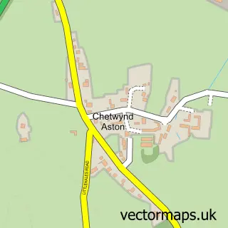
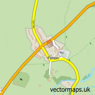
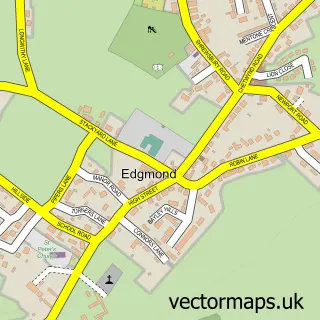
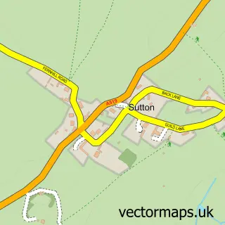
Nearby street map samples around Newport


More street maps in Shropshire
750 metre map area coverage
Boundary, postcode and point of interest information for the 750m x 750m rectangle centred on this sample map.
Boundaries containing map centre
Constituency: The Wrekin Co Const
District: Telford and Wrekin (B)
Icb: NHS Shropshire Telford and Wrekin ICB
Parish: Newport CP
Police Force: west mercia
Postcode District: TF10
Postcode Sector: TF10 7
Ward: Newport West Ward
Nearby boundaries intersecting sample
Ward: Newport East Ward, Newport North Ward, Newport South Ward
Postcode coverage
POI category counts
Beauty Salon: 17
Pub: 15
Hair Salon: 12
Flowers And Gifts Shop: 7
Real Estate Agent: 7
Coffee Shop: 6
Indian Restaurant: 6
Shopping: 6
Bar: 5
Beauty And Spa: 5
Sample points of interest
- Maddison Payroll Services
- TaxAssist Accountants
- Jsp Media Telford Limited
- Shoutabout
- Telford Text & Graphics
- St Nicholas Newport
- Gilbeys Antiques
- Artworx Gallery
- Evers So Creative
- Kitty Kraft
- Kitty Kraft
- MFG - Lower Bar Service Station (Golden Cross)
Create a larger editable map of Newport
This sample shows only a 750 metre area. To create a larger map of Newport, use our map builder to choose your own coverage area, add titles and download editable SVG, PDF and PNG files.
Create a custom map of Newport