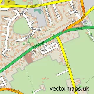
This Churchill street map is a detailed vector street map covering a 750m x 750m area. Select a larger area to create and download your own vector street map of Churchill.
The 750-metre map sample for Churchill covers 205 mapped buildings and approximately 8.4 km of road detail, of which 15 named roads are named. The immediate area includes 1 GP surgery within 2 miles, 2 pubs and 4 MOT stations within 2 miles. The wider area around Churchill features 2 food and drink venues and 2 hotels. To create a larger or custom map of Churchill, the map builder lets you define your own coverage area and download editable SVG, PDF and PNG files.
Create a larger editable map of Churchill
Choose any area you need and generate a high-quality vector map instantly. Perfect for print, planning, design, business and personal use.

This Churchill street map in Somerset is available as downloadable SVG, PDF and PNG map files, or as a printed map for planning, business, display, education, local information and design work. You can also create a larger custom map area using the map selector.
What this Churchill map sample shows
Churchill lies within Churchill Cp parish, part of Blagdon & Churchill ward in the North Somerset local authority area. The postcode geography for this area includes the BS postcode area, the BS25 postcode district and the BS25 5 postcode sector. Residents fall under the Nhs Bristol, North Somerset And South Gloucestershire Integrated Care Board for NHS services.
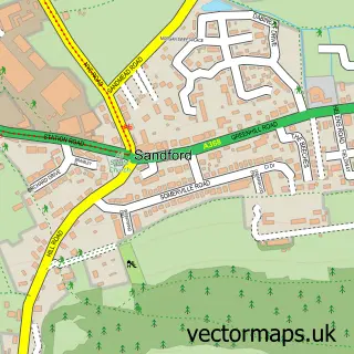
Local features near Churchill
Within 2 milesAmenities and services in and around Churchill.
Administrative and postcode information for Churchill
Churchill lies within Churchill Cp parish, part of Blagdon & Churchill ward in the North Somerset local authority area. The postcode geography for this area includes the BS postcode area, the BS25 postcode district and the BS25 5 postcode sector. Residents fall under the Nhs Bristol, North Somerset And South Gloucestershire Integrated Care Board for NHS services.
Nearby street map samples around Churchill


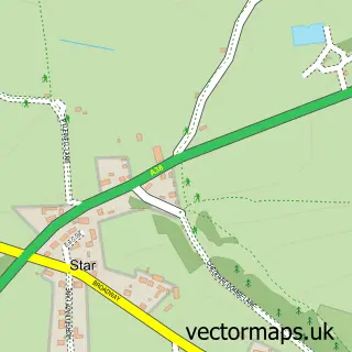
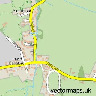
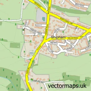
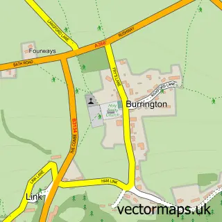
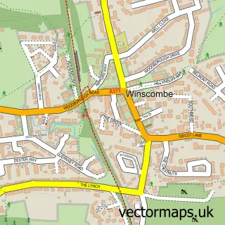
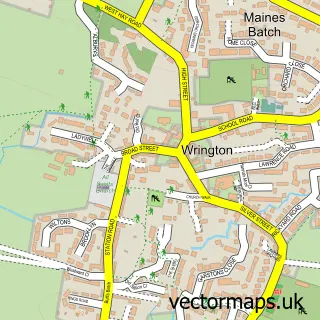
More street maps in Somerset
750 metre map area coverage
Boundary, postcode and point of interest information for the 750m x 750m rectangle centred on this sample map.
Boundaries containing map centre
Constituency: Wells and Mendip Hills Co Const
District: North Somerset
Icb: NHS Bristol North Somerset and South Gloucestershire ICB
Parish: Churchill CP
Police Force: avon and somerset
Postcode District: BS25
Postcode Sector: BS25 5
Ward: Blagdon & Churchill Ward
Nearby boundaries intersecting sample
Postcode District: BS40
Postcode Sector: BS40 5
Postcode coverage
POI category counts
Hotel: 2
Pub: 2
Ambulance And Ems Services: 1
Automotive Repair: 1
Bed And Breakfast: 1
Building Supply Store: 1
Caterer: 1
Community Services Non Profits: 1
Contractor: 1
Convenience Store: 1
Sample points of interest
- Churchill Ambulance Station
- Pvwi 2010
- The Beeches Churchill
- Harwoods Electrical Services
- The Market Kitchen
- Mend the Gap
- M J Brickwork
- Morrisons Daily
- Churchill Cricket Club
- Murphys Fish & Chips
- Bartholomew's Beautiful Barns
- Clumber Lodge
Create a larger editable map of Churchill
This sample shows only a 750 metre area. To create a larger map of Churchill, use our map builder to choose your own coverage area, add titles and download editable SVG, PDF and PNG files.
Create a custom map of Churchill