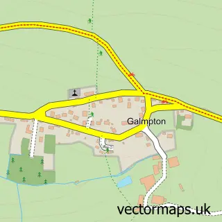
This Churchstow street map is a detailed vector street map covering a 750m x 750m area. Select a larger area to create and download your own vector street map of Churchstow.
The 750-metre map sample for Churchstow covers 113 mapped buildings and approximately 12.8 km of road detail, of which 5 named roads are named. The immediate area includes 1 GP surgery within 2 miles, 1 pub and 1 MOT station, with 4 within 2 miles. The wider area around Churchstow features 1 tourism point of interest, 1 food and drink venue and 2 campsites within 2 miles. To create a larger or custom map of Churchstow, the map builder lets you define your own coverage area and download editable SVG, PDF and PNG files.
Create a larger editable map of Churchstow
Choose any area you need and generate a high-quality vector map instantly. Perfect for print, planning, design, business and personal use.

This Churchstow street map in Devon is available as downloadable SVG, PDF and PNG map files, or as a printed map for planning, business, display, education, local information and design work. You can also create a larger custom map area using the map selector.
What this Churchstow map sample shows
Churchstow lies within Churchstow Cp parish, part of Loddiswell & Aveton Gifford ward in the South Hams District local authority area. The postcode geography for this area includes the TQ postcode area, the TQ7 postcode district and the TQ7 3 postcode sector. Residents fall under the Nhs Devon Integrated Care Board for NHS services.
Local features near Churchstow
Within 2 milesAmenities and services in and around Churchstow.
Administrative and postcode information for Churchstow
Churchstow lies within Churchstow Cp parish, part of Loddiswell & Aveton Gifford ward in the South Hams District local authority area. The postcode geography for this area includes the TQ postcode area, the TQ7 postcode district and the TQ7 3 postcode sector. Residents fall under the Nhs Devon Integrated Care Board for NHS services.
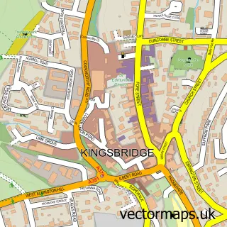
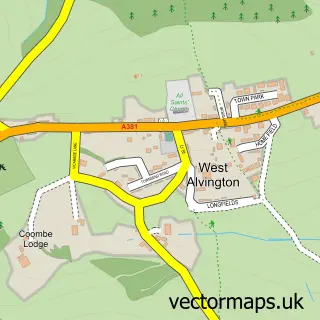
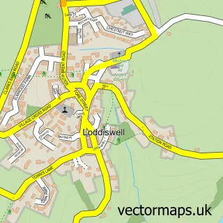
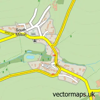
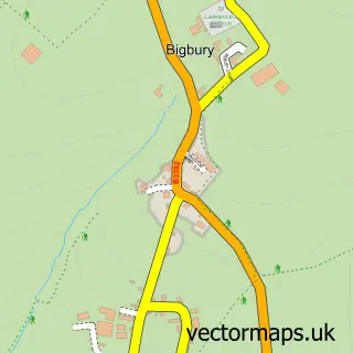
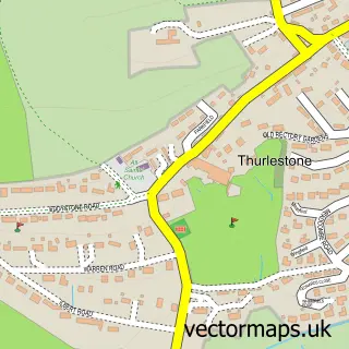
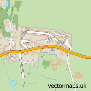
Nearby street map samples around Churchstow

More street maps in Devon
750 metre map area coverage
Boundary, postcode and point of interest information for the 750m x 750m rectangle centred on this sample map.
Boundaries containing map centre
Constituency: South Devon Co Const
County: Devon County
District: South Hams District
Icb: NHS Devon ICB
Parish: Churchstow CP
Police Force: devon and cornwall
Postcode District: TQ7
Postcode Sector: TQ7 3
Ward: Loddiswell & Aveton Gifford Ward
Nearby boundaries intersecting sample
Parish: Loddiswell CP
Postcode Sector: TQ7 4
Postcode coverage
POI category counts
Automotive Repair: 2
Furniture Store: 2
Post Office: 2
Professional Services: 2
Sign Making: 2
Anglican Church: 1
Auto Parts And Supply Store: 1
Automotive Services And Repair: 1
Bakery: 1
Bicycle Shop: 1
Sample points of interest
- St Mary
- Alan Skuse Car & Truck Parts Ltd.
- BLS Developments
- South Hams Clutch and MOT Centre
- Churchstow MOT Centre
- The Bake House Salcombe
- e-XploreDevon
- NickJones.Design
- The Wolf Rock Boat Company
- Jmv property maintenance And building
- Bayleaf Gardening
- Savage Scaffolding
Create a larger editable map of Churchstow
This sample shows only a 750 metre area. To create a larger map of Churchstow, use our map builder to choose your own coverage area, add titles and download editable SVG, PDF and PNG files.
Create a custom map of Churchstow