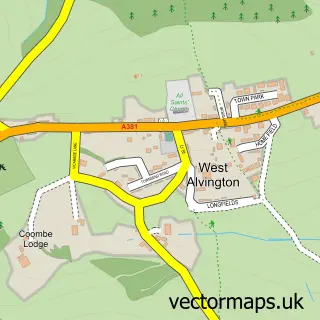
This Kingsbridge street map is a detailed vector street map covering a 750m x 750m area. Select a larger area to create and download your own vector street map of Kingsbridge.
The 750-metre map sample for Kingsbridge covers 395 mapped buildings and approximately 19.5 km of road detail, of which 50 named roads are named. The immediate area includes 1 GP surgery within 2 miles, 7 pubs and 2 MOT stations, with 3 within 2 miles. The wider area around Kingsbridge features 7 tourism points of interest, 23 food and drink venues and 4 hotels. To create a larger or custom map of Kingsbridge, the map builder lets you define your own coverage area and download editable SVG, PDF and PNG files.
Create a larger editable map of Kingsbridge
Choose any area you need and generate a high-quality vector map instantly. Perfect for print, planning, design, business and personal use.

This Kingsbridge street map in Devon is available as downloadable SVG, PDF and PNG map files, or as a printed map for planning, business, display, education, local information and design work. You can also create a larger custom map area using the map selector.
What this Kingsbridge map sample shows
Kingsbridge lies within Kingsbridge Cp parish, part of Kingsbridge ward in the South Hams District local authority area. The postcode geography for this area includes the TQ postcode area, the TQ7 postcode district and the TQ7 1 postcode sector. Residents fall under the Nhs Devon Integrated Care Board for NHS services.
Local features near Kingsbridge
Within 2 milesAmenities and services in and around Kingsbridge.
Administrative and postcode information for Kingsbridge
Kingsbridge lies within Kingsbridge Cp parish, part of Kingsbridge ward in the South Hams District local authority area. The postcode geography for this area includes the TQ postcode area, the TQ7 postcode district and the TQ7 1 postcode sector. Residents fall under the Nhs Devon Integrated Care Board for NHS services.
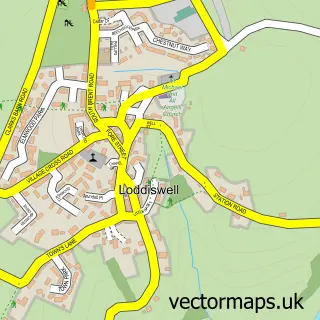
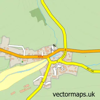
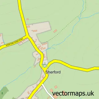
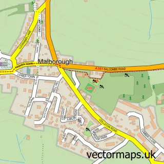
Nearby street map samples around Kingsbridge


More street maps in Devon
750 metre map area coverage
Boundary, postcode and point of interest information for the 750m x 750m rectangle centred on this sample map.
Boundaries containing map centre
Constituency: South Devon Co Const
County: Devon County
District: South Hams District
Icb: NHS Devon ICB
Parish: Kingsbridge CP
Police Force: devon and cornwall
Postcode District: TQ7
Postcode Sector: TQ7 1
Ward: Kingsbridge Ward
Nearby boundaries intersecting sample
Postcode Sector: TQ7 3
Postcode coverage
POI category counts
Hair Salon: 11
Retail: 10
Real Estate Agent: 9
Cafe: 8
Charity Organization: 8
Banks: 7
Pub: 7
Automotive Repair: 6
Beauty Salon: 6
Clothing Store: 6
Sample points of interest
- MORGANAccountants
- Newman's Accounting Services
- T P F Bibbys
- Tax & Accounts SW
- Cornelia Davies
- Online Design
- Alan Dark Magician
- St Edmund's
- Kingsbridge Antique Centre
- Kingsbridge Antiques & Craft Centre
- Mark Davis Antiques & Interiors
- Two Rooms
Create a larger editable map of Kingsbridge
This sample shows only a 750 metre area. To create a larger map of Kingsbridge, use our map builder to choose your own coverage area, add titles and download editable SVG, PDF and PNG files.
Create a custom map of Kingsbridge