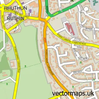
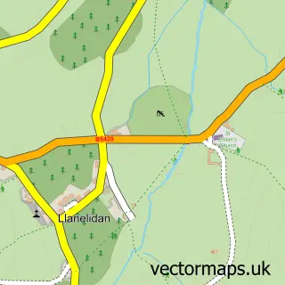
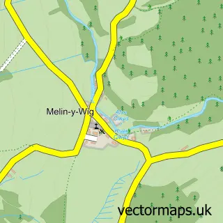
This Clawddnewydd street map is a detailed vector street map covering a 750m x 750m area. Select a larger area to create and download your own vector street map of Clawddnewydd.
The 750-metre map sample for Clawddnewydd covers 100 mapped buildings and approximately 9.9 km of road detail, of which 1 named road are named. The immediate area includes 1 pub and 1 MOT station within 2 miles. The wider area around Clawddnewydd features 1 food and drink venue. To create a larger or custom map of Clawddnewydd, the map builder lets you define your own coverage area and download editable SVG, PDF and PNG files.
Create a larger editable map of Clawddnewydd
Choose any area you need and generate a high-quality vector map instantly. Perfect for print, planning, design, business and personal use.

This Clawddnewydd street map in Clwyd is available as downloadable SVG, PDF and PNG map files, or as a printed map for planning, business, display, education, local information and design work. You can also create a larger custom map area using the map selector.
What this Clawddnewydd map sample shows
Clawddnewydd lies within Derwen Community parish, part of Efenechtyd ward in the Sir Ddinbych - Denbighshire local authority area. The postcode geography for this area includes the LL postcode area, the LL15 postcode district and the LL15 2 postcode sector. Residents fall under the Betsi Cadwaladr University Health Board for NHS services.
Local features near Clawddnewydd
Within 2 milesAmenities and services in and around Clawddnewydd.
Administrative and postcode information for Clawddnewydd
Clawddnewydd lies within Derwen Community parish, part of Efenechtyd ward in the Sir Ddinbych - Denbighshire local authority area. The postcode geography for this area includes the LL postcode area, the LL15 postcode district and the LL15 2 postcode sector. Residents fall under the Betsi Cadwaladr University Health Board for NHS services.
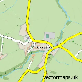
Nearby street map samples around Clawddnewydd

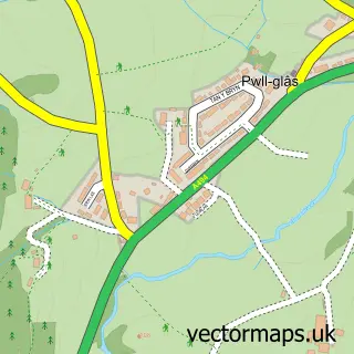
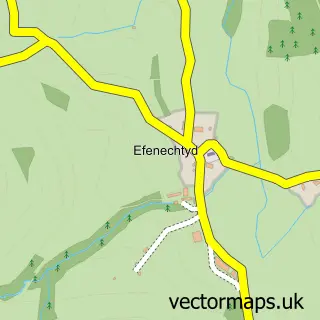
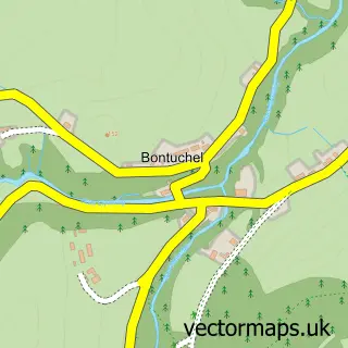
More street maps in Clwyd
750 metre map area coverage
Boundary, postcode and point of interest information for the 750m x 750m rectangle centred on this sample map.
Boundaries containing map centre
Constituency: Bangor Aberconwy Co Const
District: Sir Ddinbych - Denbighshire
Icb: Betsi Cadwaladr University
Parish: Derwen Community
Police Force: north wales
Postcode District: LL15
Postcode Sector: LL15 2
Nearby boundaries intersecting sample
Parish: Clocaenog Community
Postcode coverage
POI category counts
Construction Services: 2
Car Wash: 1
Community Center: 1
Convenience Store: 1
Industrial Equipment: 1
Package Locker: 1
Pet Sitting: 1
Post Office: 1
Pub: 1
School: 1
Sample points of interest
- APH Valeting
- Canolfan Cae Cymro
- Elystan Hughes Building
- S Matischok Building and Landscaping
- Siop Y Fro, Clawddnewydd
- Mayfive Equipment
- InPost
- Purrfection Pet Sitting Services
- Post Office-Clawddnewydd
- Glan Llyn Inn
- Ysgol Bro Cinmeirch
Create a larger editable map of Clawddnewydd
This sample shows only a 750 metre area. To create a larger map of Clawddnewydd, use our map builder to choose your own coverage area, add titles and download editable SVG, PDF and PNG files.
Create a custom map of Clawddnewydd