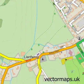
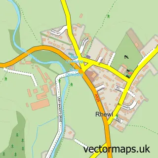
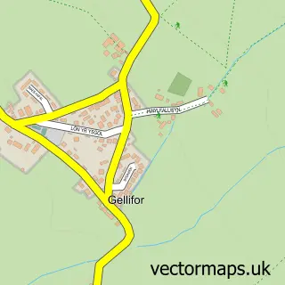
This Ruthin street map is a detailed vector street map covering a 750m x 750m area. Select a larger area to create and download your own vector street map of Ruthin.
The 750-metre map sample for Ruthin covers 437 mapped buildings and approximately 18.3 km of road detail, of which 35 named roads are named. The immediate area includes 2 schools, 4 pubs and 1 MOT station, with 4 within 2 miles. The wider area around Ruthin features 7 tourism points of interest, 12 food and drink venues and 3 hotels. To create a larger or custom map of Ruthin, the map builder lets you define your own coverage area and download editable SVG, PDF and PNG files.
Create a larger editable map of Ruthin
Choose any area you need and generate a high-quality vector map instantly. Perfect for print, planning, design, business and personal use.

This Ruthin street map in Clwyd is available as downloadable SVG, PDF and PNG map files, or as a printed map for planning, business, display, education, local information and design work. You can also create a larger custom map area using the map selector.
What this Ruthin map sample shows
Ruthin lies within Ruthin Community parish, part of Ruthin ward in the Sir Ddinbych - Denbighshire local authority area. The postcode geography for this area includes the LL postcode area, the LL15 postcode district and the LL15 1 postcode sector. Residents fall under the Betsi Cadwaladr University Health Board for NHS services.
Local features near Ruthin
Within 2 milesAmenities and services in and around Ruthin.
Administrative and postcode information for Ruthin
The local authority covering Ruthin is Sir Ddinbych - Denbighshire, within the county of Clwyd. The settlement lies within Ruthin ward and Ruthin Community civil parish. The LL15 postcode district and LL15 1 postcode sector serve the immediate area. NHS provision in the area is delivered through Betsi Cadwaladr University Health Board.
Nearby street map samples around Ruthin

More street maps in Clwyd
750 metre map area coverage
Boundary, postcode and point of interest information for the 750m x 750m rectangle centred on this sample map.
Boundaries containing map centre
Constituency: Clwyd East Co Const
District: Sir Ddinbych - Denbighshire
Icb: Betsi Cadwaladr University
Parish: Ruthin Community
Police Force: north wales
Postcode District: LL15
Postcode Sector: LL15 1
Nearby boundaries intersecting sample
Postcode Sector: LL15 2
Postcode coverage
POI category counts
Landmark And Historical Building: 7
Beauty Salon: 6
Hair Salon: 6
Community Services Non Profits: 5
Coffee Shop: 4
Pharmacy: 4
Pub: 4
Antique Store: 3
Bakery: 3
Bank Credit Union: 3
Sample points of interest
- Hill & Roberts
- FUW Dinbych a Flint
- Well Street Clinic
- Bodhi Furnishings
- Jeff Jones Antiques and Vintage
- Jeff Jones Antiques and Vintage
- Beresford Adams
- Wayfarer Wools
- The Corporation
- PayPoint
- The Cooperative Food (BF) Ruthin
- Anchor Garage
Create a larger editable map of Ruthin
This sample shows only a 750 metre area. To create a larger map of Ruthin, use our map builder to choose your own coverage area, add titles and download editable SVG, PDF and PNG files.
Create a custom map of Ruthin