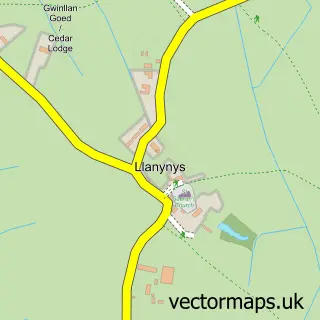
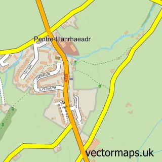
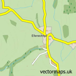
This Rhewl street map is a detailed vector street map covering a 750m x 750m area. Select a larger area to create and download your own vector street map of Rhewl.
The 750-metre map sample for Rhewl covers 153 mapped buildings and approximately 11.4 km of road detail, of which 8 named roads are named. The immediate area includes 4 MOT stations within 2 miles. To create a larger or custom map of Rhewl, the map builder lets you define your own coverage area and download editable SVG, PDF and PNG files.
Create a larger editable map of Rhewl
Choose any area you need and generate a high-quality vector map instantly. Perfect for print, planning, design, business and personal use.

This Rhewl street map in Clwyd is available as downloadable SVG, PDF and PNG map files, or as a printed map for planning, business, display, education, local information and design work. You can also create a larger custom map area using the map selector.
What this Rhewl map sample shows
Rhewl lies within Llanynys Community parish, part of Llandyrnog ward in the Sir Ddinbych - Denbighshire local authority area. The postcode geography for this area includes the LL postcode area, the LL15 postcode district and the LL15 1 postcode sector. Residents fall under the Betsi Cadwaladr University Health Board for NHS services.
Local features near Rhewl
Within 2 milesAmenities and services in and around Rhewl.
Administrative and postcode information for Rhewl
Rhewl lies within Llanynys Community parish, part of Llandyrnog ward in the Sir Ddinbych - Denbighshire local authority area. The postcode geography for this area includes the LL postcode area, the LL15 postcode district and the LL15 1 postcode sector. Residents fall under the Betsi Cadwaladr University Health Board for NHS services.
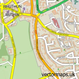
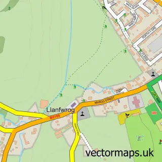
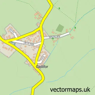
Nearby street map samples around Rhewl

More street maps in Clwyd
750 metre map area coverage
Boundary, postcode and point of interest information for the 750m x 750m rectangle centred on this sample map.
Boundaries containing map centre
Constituency: Clwyd East Co Const
District: Sir Ddinbych - Denbighshire
Icb: Betsi Cadwaladr University
Parish: Llanynys Community
Police Force: north wales
Postcode District: LL15
Postcode Sector: LL15 2
Nearby boundaries intersecting sample
Postcode Sector: LL15 1
Postcode coverage
POI category counts
Barber: 2
Tea Room: 2
Arts And Entertainment: 1
Bar: 1
Beauty And Spa: 1
Business: 1
Electronics: 1
Photographer: 1
Professional Services: 1
Rental Services: 1
Sample points of interest
- Rhewl
- Drovers Arms
- Kiki's Kutz
- The Irish Barber
- Skin22 Ruthin - Skin & Wellness clinic
- Falcon Forwarding Limited
- PC Services North Wales
- RV Drone Services
- Technology House
- Offices-To-Let Net
- North Wales Fieldsports
- Davey's Taxi
Create a larger editable map of Rhewl
This sample shows only a 750 metre area. To create a larger map of Rhewl, use our map builder to choose your own coverage area, add titles and download editable SVG, PDF and PNG files.
Create a custom map of Rhewl