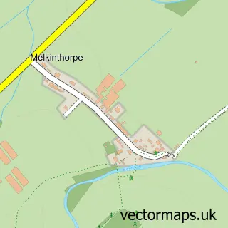
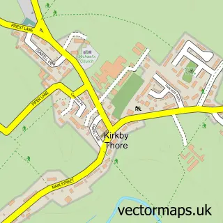
This Cliburn street map is a detailed vector street map covering a 750m x 750m area. Select a larger area to create and download your own vector street map of Cliburn.
The 750-metre map sample for Cliburn covers 108 mapped buildings and approximately 9.4 km of road detail, of which 5 named roads are named. The immediate area includes 1 GP surgery within 2 miles and 1 MOT station within 2 miles. The wider area around Cliburn features 1 hotel. To create a larger or custom map of Cliburn, the map builder lets you define your own coverage area and download editable SVG, PDF and PNG files.
Create a larger editable map of Cliburn
Choose any area you need and generate a high-quality vector map instantly. Perfect for print, planning, design, business and personal use.

This Cliburn street map in Cumbria is available as downloadable SVG, PDF and PNG map files, or as a printed map for planning, business, display, education, local information and design work. You can also create a larger custom map area using the map selector.
What this Cliburn map sample shows
Cliburn lies within Cliburn Cp parish, part of Morland ward in the Westmorland And Furness local authority area. The postcode geography for this area includes the CA postcode area, the CA10 postcode district and the CA10 3 postcode sector. Residents fall under the Nhs North East And North Cumbria Integrated Care Board for NHS services.
Local features near Cliburn
Within 2 milesAmenities and services in and around Cliburn.
Administrative and postcode information for Cliburn
Cliburn lies within Cliburn Cp parish, part of Morland ward in the Westmorland And Furness local authority area. The postcode geography for this area includes the CA postcode area, the CA10 postcode district and the CA10 3 postcode sector. Residents fall under the Nhs North East And North Cumbria Integrated Care Board for NHS services.
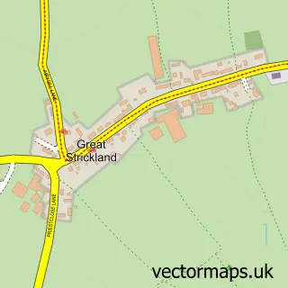
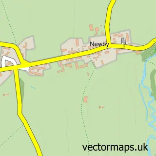
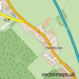
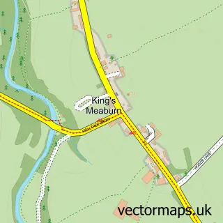
Nearby street map samples around Cliburn

More street maps in Cumbria
750 metre map area coverage
Boundary, postcode and point of interest information for the 750m x 750m rectangle centred on this sample map.
Boundaries containing map centre
Constituency: Westmorland and Lonsdale Co Const
District: Westmorland and Furness
Icb: NHS North East and North Cumbria ICB
Parish: Cliburn CP
Police Force: cumbria
Postcode District: CA10
Postcode Sector: CA10 3
Ward: Eden and Lyvennet Vale Ward
Nearby boundaries intersecting sample
Parish: Morland CP
Postcode coverage
POI category counts
Building Supply Store: 1
Car Wash: 1
Carpenter: 1
Community Center: 1
Cottage: 1
Engineering Services: 1
Furniture Assembly: 1
Professional Services: 1
Rv Park: 1
Sample points of interest
- Andy Blundell Restoration & Antiques-A.B.Paint & Door Stripping Servic
- Eden Autocare
- Traditional Restorations
- Cliburn Village Hall
- Edens Annexe
- G Lund Ltd
- Stephen Ball Upholstery
- A J & D Chapelhow - Cliburn
- Grange Court Caravan Site
Create a larger editable map of Cliburn
This sample shows only a 750 metre area. To create a larger map of Cliburn, use our map builder to choose your own coverage area, add titles and download editable SVG, PDF and PNG files.
Create a custom map of Cliburn