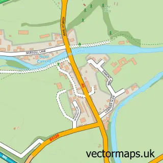
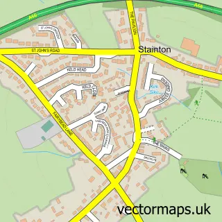
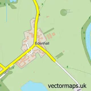
This Penrith street map is a detailed vector street map covering a 750m x 750m area. Select a larger area to create and download your own vector street map of Penrith.
The 750-metre map sample for Penrith covers 370 mapped buildings and approximately 27.0 km of road detail, of which 74 named roads are named. The immediate area includes 1 school, 2 GP surgeries within 2 miles, 16 pubs and 1 MOT station, with 10 within 2 miles. The wider area around Penrith features 9 tourism points of interest, 47 food and drink venues and 13 hotels. To create a larger or custom map of Penrith, the map builder lets you define your own coverage area and download editable SVG, PDF and PNG files.
Create a larger editable map of Penrith
Choose any area you need and generate a high-quality vector map instantly. Perfect for print, planning, design, business and personal use.

This Penrith street map in Cumbria is available as downloadable SVG, PDF and PNG map files, or as a printed map for planning, business, display, education, local information and design work. You can also create a larger custom map area using the map selector.
What this Penrith map sample shows
Penrith lies within Penrith Cp parish, part of Penrith Pategill ward in the Westmorland And Furness local authority area. The postcode geography for this area includes the CA postcode area, the CA11 postcode district and the CA11 8 postcode sector. Residents fall under the Nhs North East And North Cumbria Integrated Care Board for NHS services.
Local features near Penrith
Within 2 milesAmenities and services in and around Penrith.
Administrative and postcode information for Penrith
Penrith lies within Penrith Cp parish, part of Penrith Pategill ward in the Westmorland And Furness local authority area. The postcode geography for this area includes the CA postcode area, the CA11 postcode district and the CA11 8 postcode sector. Residents fall under the Nhs North East And North Cumbria Integrated Care Board for NHS services.
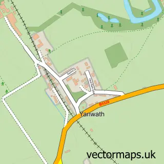
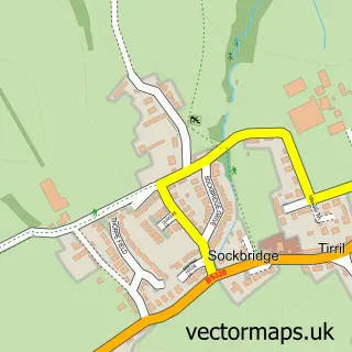
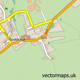
Nearby street map samples around Penrith

More street maps in Cumbria
750 metre map area coverage
Boundary, postcode and point of interest information for the 750m x 750m rectangle centred on this sample map.
Boundaries containing map centre
Constituency: Penrith and Solway Co Const
District: Westmorland and Furness
Icb: NHS North East and North Cumbria ICB
Parish: Penrith CP
Police Force: cumbria
Postcode District: CA11
Postcode Sector: CA11 7
Ward: Penrith South Ward
Nearby boundaries intersecting sample
Postcode Sector: CA11 8
Ward: Penrith North Ward
Postcode coverage
POI category counts
Beauty Salon: 22
Pub: 16
Clothing Store: 15
Cafe: 14
Flowers And Gifts Shop: 13
Hair Salon: 13
Hotel: 13
Professional Services: 13
Restaurant: 12
Bank Credit Union: 10
Sample points of interest
- ASAP Accountancy Services Limited
- Dodd & Co. Chartered Accountants
- Dodd Wealthcare
- Robinson Udale
- Golfing The Lakes
- Lower Borrowdale Skyline
- Ullswater & Eden Junior Tennis Club
- Angel Clinic
- Fine & Country Penrith Estate Agents
- Hypnotherapy Works
- Watermillock Village Hall
- Antiques of Penrith
Create a larger editable map of Penrith
This sample shows only a 750 metre area. To create a larger map of Penrith, use our map builder to choose your own coverage area, add titles and download editable SVG, PDF and PNG files.
Create a custom map of Penrith