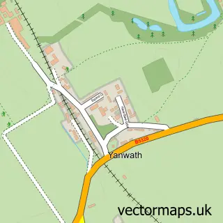
This Newton Reigny street map is a detailed vector street map covering a 750m x 750m area. Select a larger area to create and download your own vector street map of Newton Reigny.
The 750-metre map sample for Newton Reigny covers 122 mapped buildings and approximately 8.1 km of road detail, of which 3 named roads are named. The immediate area includes 1 pub and 5 MOT stations within 2 miles. The wider area around Newton Reigny features 1 food and drink venue and 1 campsite within 2 miles. To create a larger or custom map of Newton Reigny, the map builder lets you define your own coverage area and download editable SVG, PDF and PNG files.
Create a larger editable map of Newton Reigny
Choose any area you need and generate a high-quality vector map instantly. Perfect for print, planning, design, business and personal use.

This Newton Reigny street map in Cumbria is available as downloadable SVG, PDF and PNG map files, or as a printed map for planning, business, display, education, local information and design work. You can also create a larger custom map area using the map selector.
What this Newton Reigny map sample shows
Newton Reigny lies within Catterlen Cp parish, part of Hesket ward in the Westmorland And Furness local authority area. The postcode geography for this area includes the CA postcode area, the CA11 postcode district and the CA11 0 postcode sector. Residents fall under the Nhs North East And North Cumbria Integrated Care Board for NHS services.
Local features near Newton Reigny
Within 2 milesAmenities and services in and around Newton Reigny.
Administrative and postcode information for Newton Reigny
The local authority covering Newton Reigny is Westmorland And Furness, within the county of Cumbria. The settlement lies within Hesket ward and Catterlen Cp civil parish. The CA11 postcode district and CA11 0 postcode sector serve the immediate area. NHS provision in the area is delivered through North Cumbria Integrated Care Nhs Foundation Trust.
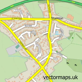
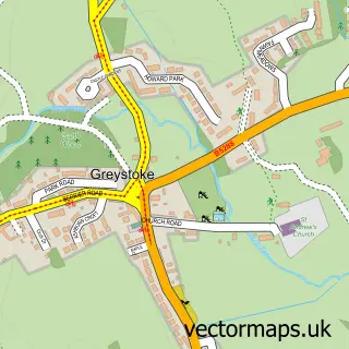
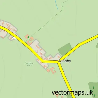
Nearby street map samples around Newton Reigny
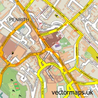

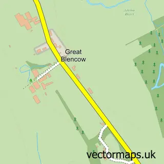
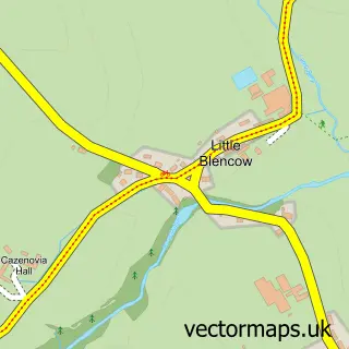
More street maps in Cumbria
750 metre map area coverage
Boundary, postcode and point of interest information for the 750m x 750m rectangle centred on this sample map.
Boundaries containing map centre
Constituency: Penrith and Solway Co Const
District: Westmorland and Furness
Icb: NHS North East and North Cumbria ICB
Parish: Catterlen CP
Police Force: cumbria
Postcode District: CA11
Postcode Sector: CA11 0
Ward: Hesket and Lazonby Ward
Nearby boundaries intersecting sample
No additional intersecting boundaries found.
Postcode coverage
POI category counts
Anglican Church: 1
Bed And Breakfast: 1
Butcher Shop: 1
Construction Services: 1
Convenience Store: 1
Holiday Rental Home: 1
Home Decor: 1
Pub: 1
Shipping Center: 1
Soccer Field: 1
Sample points of interest
- St John
- Lilac Properties
- Tailored Goat Company
- Builders in Penrith
- The Corner Cabin Shop & Salon
- Saddleback Barn
- Lamond's Painting & Decorating
- The Sun Inn
- Post Office-Skelton
- Newton Rigg Sports Centre
- Newton Trailer Centre
Create a larger editable map of Newton Reigny
This sample shows only a 750 metre area. To create a larger map of Newton Reigny, use our map builder to choose your own coverage area, add titles and download editable SVG, PDF and PNG files.
Create a custom map of Newton Reigny