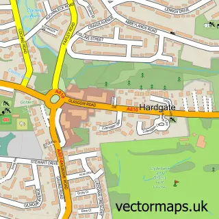
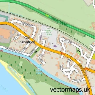
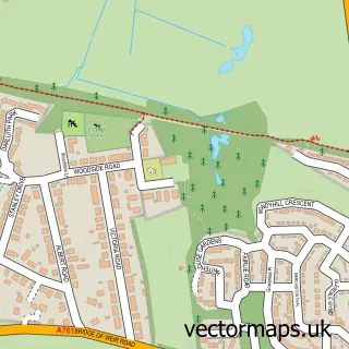
This Clydebank street map is a detailed vector street map covering a 750m x 750m area. Select a larger area to create and download your own vector street map of Clydebank.
The 750-metre map sample for Clydebank covers 107 mapped buildings and approximately 17.4 km of road detail, of which 28 named roads are named. The immediate area includes 1 railway station, 6 GP surgeries, with 21 within 2 miles, 4 pubs and 2 MOT stations, with 19 within 2 miles. The wider area around Clydebank features 4 tourism points of interest and 14 food and drink venues. To create a larger or custom map of Clydebank, the map builder lets you define your own coverage area and download editable SVG, PDF and PNG files.
Create a larger editable map of Clydebank
Choose any area you need and generate a high-quality vector map instantly. Perfect for print, planning, design, business and personal use.

This Clydebank street map in Dunbartonshire is available as downloadable SVG, PDF and PNG map files, or as a printed map for planning, business, display, education, local information and design work. You can also create a larger custom map area using the map selector.
What this Clydebank map sample shows
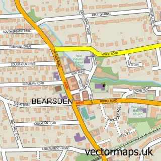
Clydebank lies within West Dunbartonshire parish, part of Clydebank Waterfront ward in the West Dunbartonshire local authority area. The postcode geography for this area includes the G postcode area, the G81 postcode district and the G81 1 postcode sector. Residents fall under the Greater Glasgow And Clyde for NHS services.
Local features near Clydebank
Within 2 milesAmenities and services in and around Clydebank.
Administrative and postcode information for Clydebank
The local authority covering Clydebank is West Dunbartonshire, within the county of Dunbartonshire. The settlement lies within Clydebank Waterfront ward and West Dunbartonshire civil parish. The G81 postcode district and G81 1 postcode sector serve the immediate area. NHS provision in the area is delivered through Greater Glasgow And Clyde.
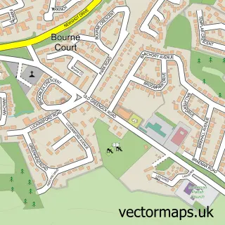
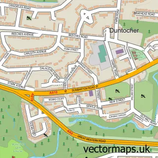
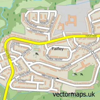
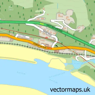
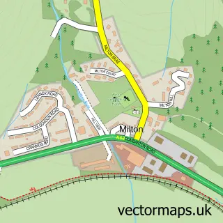
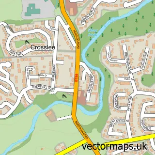
Nearby street map samples around Clydebank

More street maps in Dunbartonshire
750 metre map area coverage
Boundary, postcode and point of interest information for the 750m x 750m rectangle centred on this sample map.
Boundaries containing map centre
Constituency: West Dunbartonshire Co Const
District: West Dunbartonshire
Icb: Greater Glasgow and Clyde
Postcode District: G81
Postcode Sector: G81 1
Ward: Clydebank Waterfront Ward
Nearby boundaries intersecting sample
Postcode Sector: G81 2
Ward: Clydebank Central Ward
Postcode coverage
POI category counts
Beauty Salon: 20
Clothing Store: 8
Doctor: 8
Flowers And Gifts Shop: 8
Charity Organization: 7
Community Services Non Profits: 7
Discount Store: 7
Hair Salon: 7
Building Supply Store: 6
Mobile Phone Store: 6
Sample points of interest
- Alternatives
- Clydebank Playdrome
- Forward Training Partnership
- CSF - Appliance Centre
- Stitch Express
- Clydebank Museum and Art Gallery
- Awestruck Academy
- Gamestation
- I-Play Centres
- Wok One Clydebank
- Greggs
- Greggs
Create a larger editable map of Clydebank
This sample shows only a 750 metre area. To create a larger map of Clydebank, use our map builder to choose your own coverage area, add titles and download editable SVG, PDF and PNG files.
Create a custom map of Clydebank