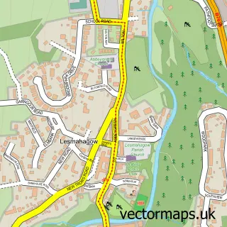
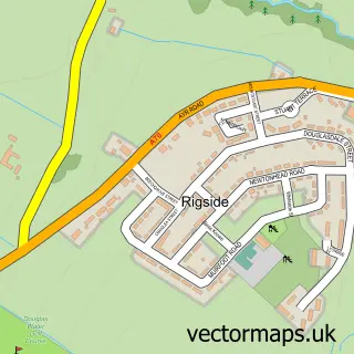
This Coalburn street map is a detailed vector street map covering a 750m x 750m area. Select a larger area to create and download your own vector street map of Coalburn.
The 750-metre map sample for Coalburn covers 199 mapped buildings and approximately 6.7 km of road detail, of which 12 named roads are named. The wider area around Coalburn features 1 food and drink venue. To create a larger or custom map of Coalburn, the map builder lets you define your own coverage area and download editable SVG, PDF and PNG files.
Create a larger editable map of Coalburn
Choose any area you need and generate a high-quality vector map instantly. Perfect for print, planning, design, business and personal use.

This Coalburn street map in Lanarkshire is available as downloadable SVG, PDF and PNG map files, or as a printed map for planning, business, display, education, local information and design work. You can also create a larger custom map area using the map selector.
What this Coalburn map sample shows
Coalburn lies within South Lanarkshire parish, part of Clydesdale South ward in the South Lanarkshire local authority area. The postcode geography for this area includes the ML postcode area, the ML11 postcode district and the ML11 0 postcode sector. Residents fall under the Lanarkshire for NHS services.
Local features near Coalburn
Within 2 milesAmenities and services in and around Coalburn.
Administrative and postcode information for Coalburn
Coalburn lies within South Lanarkshire parish, part of Clydesdale South ward in the South Lanarkshire local authority area. The postcode geography for this area includes the ML postcode area, the ML11 postcode district and the ML11 0 postcode sector. Residents fall under the Lanarkshire for NHS services.
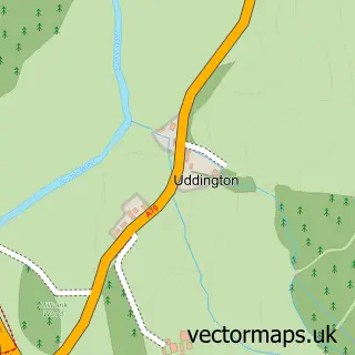
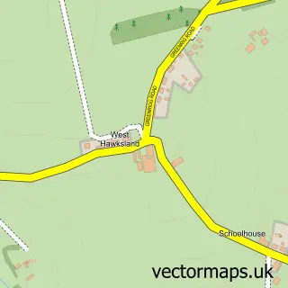
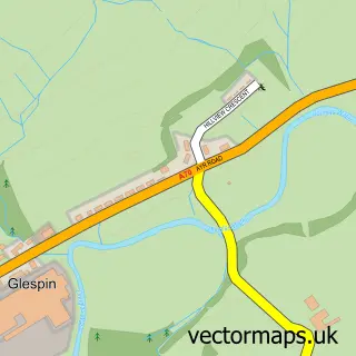
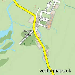
Nearby street map samples around Coalburn

More street maps in Lanarkshire
750 metre map area coverage
Boundary, postcode and point of interest information for the 750m x 750m rectangle centred on this sample map.
Boundaries containing map centre
Constituency: Dumfriesshire, Clydesdale and Tweeddale Co Const
District: South Lanarkshire
Icb: Lanarkshire
Postcode District: ML11
Postcode Sector: ML11 0
Ward: Clydesdale South Ward
Nearby boundaries intersecting sample
No additional intersecting boundaries found.
Postcode coverage
POI category counts
Convenience Store: 3
Arts And Entertainment: 1
Atms: 1
Automotive Repair: 1
Building Contractor: 1
Carpenter: 1
Catholic Church: 1
Charity Organization: 1
Church Cathedral: 1
Contractor: 1
Sample points of interest
- Blue Audio
- Coalburn Miners Welfare Charitable Society (Link DC)
- Birkhill Garage Ltd
- Meikle Builders Coalburn
- R M Boyd
- Coalburn and Lesmahagow Parish Church
- Coalburn Miners Welfare One Stop Shop
- Candle Church
- D.C joinery home improvements ltd
- Coalburn Pharmacy
- Coalburn Store
- USAVE
Create a larger editable map of Coalburn
This sample shows only a 750 metre area. To create a larger map of Coalburn, use our map builder to choose your own coverage area, add titles and download editable SVG, PDF and PNG files.
Create a custom map of Coalburn