Vector Maps logo
Home Why it works Popular maps Districts Samples Customizer Create Your Map
VectorMaps.uk
Home Popular maps Districts Samples Customizer Create Your Map Privacy Disclaimer
Home / UK Maps / Lanarkshire / Lesmahagow Map

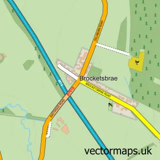
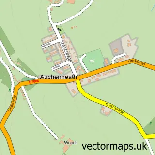
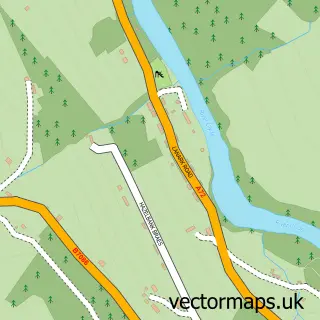
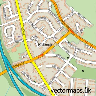
This Lesmahagow street map is a detailed vector street map covering a 750m x 750m area. Select a larger area to create and download your own vector street map of Lesmahagow.

Lesmahagow is a town in Lanarkshire, in the South Scotland of Scotland. The settlement falls within the East Kilbride, Strathaven And Lesmahagow parliamentary constituency. It is served by the ML11 postcode district, with ML11 0 as the local postcode sect

The 750-metre map sample for Lesmahagow covers 345 mapped buildings and approximately 14.4 km of road detail, of which 28 named roads are named. The immediate area includes 1 GP surgery, 2 pubs and 1 MOT station within 2 miles. The wider area around Lesmahagow features 5 tourism points of interest and 4 food and drink venues. To create a larger or custom map of Lesmahagow, the map builder lets you define your own coverage area and download editable SVG, PDF and PNG files.

345Buildings
14.36 kmRoads
28Named roads
0Residents within 2 miles
Create your own

Create a larger editable map of Lesmahagow

Choose any area you need and generate a high-quality vector map instantly. Perfect for print, planning, design, business and personal use.

Choose any location
Editable SVG files
Any size up to A0
PDF, PNG & more
Instant download
High quality guaranteed
Create My Custom Map
Secure, private & no credit card required
Lesmahagow Vector Street Map
750m Sample
Lesmahagow vector street map sample showing roads, buildings and local features in a 750 metre preview area
Buy Lesmahagow Map Print from £12.95 Buy Lesmahagow Digital Map from £6

This Lesmahagow street map in Lanarkshire is available as downloadable SVG, PDF and PNG map files, or as a printed map for planning, business, display, education, local information and design work. You can also create a larger custom map area using the map selector.

What this Lesmahagow map sample shows

Lesmahagow lies within South Lanarkshire parish, part of Clydesdale South ward in the South Lanarkshire local authority area. The postcode geography for this area includes the ML postcode area, the ML11 postcode district and the ML11 0 postcode sector. Residents fall under the Lanarkshire for NHS services.

Local features near Lesmahagow

Within 2 miles

Amenities and services in and around Lesmahagow.

1 GP surgeries 1 within 2 miles
1 MOT stations within 2 miles
5 Tourism & leisure
4 Food & drink
2 Pubs
6 Healthcare POIs
1 Vehicle services

Counts are approximate and based on publicly available data.

Administrative and postcode information for Lesmahagow

Lesmahagow lies within South Lanarkshire parish, part of Clydesdale South ward in the South Lanarkshire local authority area. The postcode geography for this area includes the ML postcode area, the ML11 postcode district and the ML11 0 postcode sector. Residents fall under the Lanarkshire for NHS services.

Parish SOUTH LANARKSHIRE
Ward Clydesdale South
District / local authority South Lanarkshire
County Lanarkshire
Historic county Lanarkshire
Postcode district ML11
Postcode sector ML11 0
Parliamentary constituency East Kilbride, Strathaven and Lesmahagow
Region South Scotland
Country Scotland

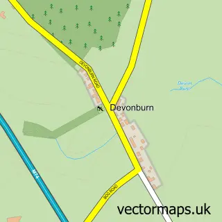
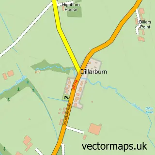
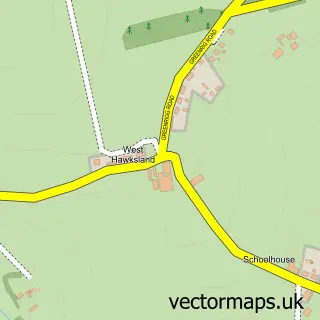
Nearby street map samples around Lesmahagow

Street map sample of Glasgow, City of Glasgow Glasgow City - City of Glasgow - 20.9 miles Street map sample of Brocketsbrae, Lanarkshire Brocketsbrae Village - Lanarkshire - 0.5 miles Street map sample of Devonburn, Lanarkshire Devonburn Village - Lanarkshire - 1.2 miles Street map sample of Dillarburn, Lanarkshire Dillarburn Village - Lanarkshire - 1.2 miles Street map sample of Hawksland, Lanarkshire Hawksland Village - Lanarkshire - 2.2 miles Street map sample of Auchenheath, Lanarkshire Auchenheath Village - Lanarkshire - 2.3 miles Street map sample of Boghead, Lanarkshire Boghead Village - Lanarkshire - 2.5 miles Street map sample of Blackwood, Lanarkshire Blackwood Village - Lanarkshire - 2.7 miles Street map sample of Coalburn, Lanarkshire Coalburn Village - Lanarkshire - 3.3 miles Street map sample of Hazelbank, Lanarkshire Hazelbank Village - Lanarkshire - 3.4 miles

More street maps in Lanarkshire

Street map sample of Brocketsbrae, Lanarkshire Brocketsbrae Village - 0.5 miles Street map sample of Devonburn, Lanarkshire Devonburn Village - 1.2 miles Street map sample of Dillarburn, Lanarkshire Dillarburn Village - 1.2 miles Street map sample of Hawksland, Lanarkshire Hawksland Village - 2.2 miles Street map sample of Kirkmuirhill, Lanarkshire Kirkmuirhill Town - 2.3 miles

750 metre map area coverage

Boundary, postcode and point of interest information for the 750m x 750m rectangle centred on this sample map.

Boundaries containing map centre

Constituency: Hamilton and Clyde Valley Co Const

District: South Lanarkshire

Icb: Lanarkshire

Postcode District: ML11

Postcode Sector: ML11 0

Ward: Clydesdale South Ward

Nearby boundaries intersecting sample

No additional intersecting boundaries found.

Postcode coverage

ML11 ML11 0

POI category counts

Park: 4

Contractor: 3

Funeral Services And Cemeteries: 3

Pharmacy: 3

Bank Credit Union: 2

Barber: 2

Beauty Salon: 2

Church Cathedral: 2

Convenience Store: 2

Doctor: 2

Sample points of interest

  • EM Cubed Ltd. Accountant
  • Calum Smith Architect Architect
  • Soundsmove Arts And Entertainment
  • The Bike Box Auto Company
  • Derek Palmer Engineering Automotive Repair
  • C-path Software Engineering Automotive Services And Repair
  • Bank of Scotland Bank Credit Union
  • RBS Bank Credit Union
  • Community Banker The Fountain Community Centre Banks
  • Antalya turkish barber Barber
  • Jade's Barbers Barber
  • The Beauty Room Beauty Salon

Create a larger editable map of Lesmahagow

This sample shows only a 750 metre area. To create a larger map of Lesmahagow, use our map builder to choose your own coverage area, add titles and download editable SVG, PDF and PNG files.

Create a custom map of Lesmahagow

Phone 01751 473136 | Copyright Vectormaps.uk 2026

Samples Customizer Privacy Disclaimer
Lesmahagow Vector Street Map
Lesmahagow enlarged street map sample showing a 750 metre preview area