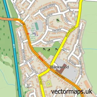
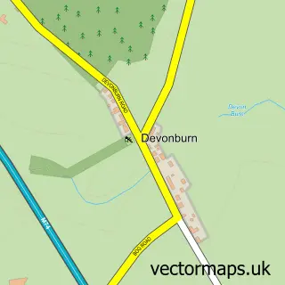
This Kirkmuirhill street map is a detailed vector street map covering a 750m x 750m area. Select a larger area to create and download your own vector street map of Kirkmuirhill.
The 750-metre map sample for Kirkmuirhill covers 446 mapped buildings and approximately 21.8 km of road detail, of which 37 named roads are named. The immediate area includes 1 GP surgery and 1 MOT station, with 2 within 2 miles. The wider area around Kirkmuirhill features 3 food and drink venues and 1 hotel. To create a larger or custom map of Kirkmuirhill, the map builder lets you define your own coverage area and download editable SVG, PDF and PNG files.
Create a larger editable map of Kirkmuirhill
Choose any area you need and generate a high-quality vector map instantly. Perfect for print, planning, design, business and personal use.

This Kirkmuirhill street map in Lanarkshire is available as downloadable SVG, PDF and PNG map files, or as a printed map for planning, business, display, education, local information and design work. You can also create a larger custom map area using the map selector.
What this Kirkmuirhill map sample shows
Kirkmuirhill lies within South Lanarkshire parish, part of Clydesdale South ward in the South Lanarkshire local authority area. The postcode geography for this area includes the ML postcode area, the ML11 postcode district and the ML11 9 postcode sector. Residents fall under the Lanarkshire for NHS services.
Local features near Kirkmuirhill
Within 2 milesAmenities and services in and around Kirkmuirhill.
Administrative and postcode information for Kirkmuirhill
The local authority covering Kirkmuirhill is South Lanarkshire, within the county of Lanarkshire. The settlement lies within Clydesdale South ward and South Lanarkshire civil parish. The ML11 postcode district and ML11 9 postcode sector serve the immediate area. NHS provision in the area is delivered through Lanarkshire.
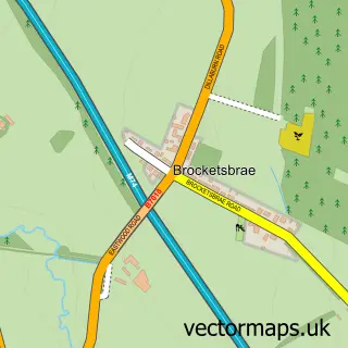
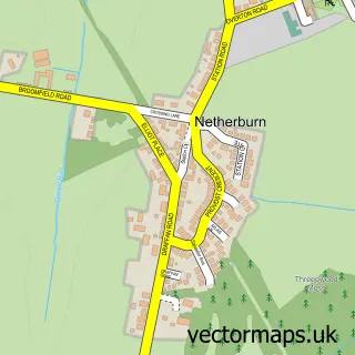
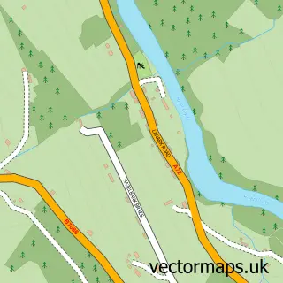
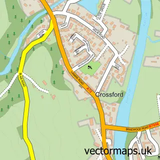
Nearby street map samples around Kirkmuirhill

More street maps in Lanarkshire
750 metre map area coverage
Boundary, postcode and point of interest information for the 750m x 750m rectangle centred on this sample map.
Boundaries containing map centre
Constituency: Hamilton and Clyde Valley Co Const
District: South Lanarkshire
Icb: Lanarkshire
Postcode District: ML11
Postcode Sector: ML11 9
Ward: Clydesdale South Ward
Nearby boundaries intersecting sample
Postcode Sector: ML11 0
Postcode coverage
POI category counts
Convenience Store: 6
Gas Station: 3
Hair Salon: 3
Atms: 2
Charity Organization: 2
Cleaning Services: 2
Coffee Shop: 2
Elementary School: 2
Food Delivery Service: 2
Laundromat: 2
Sample points of interest
- PayPoint
- Penny Petroleum - Kirkmuirhill
- BS Autos MOT Centre
- The Apple Pie
- RBS
- Gourlay's Barbershop
- Coral
- D&b Scotland Ltd.
- Allan Alexander McLeod Craft Butchers Ltd
- Spot on Catering
- Church of Scotland Cornerstone Project
- Lodge Nethan St John 1289
Create a larger editable map of Kirkmuirhill
This sample shows only a 750 metre area. To create a larger map of Kirkmuirhill, use our map builder to choose your own coverage area, add titles and download editable SVG, PDF and PNG files.
Create a custom map of Kirkmuirhill