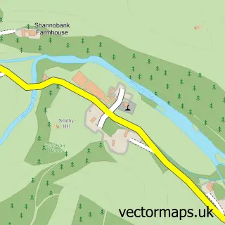
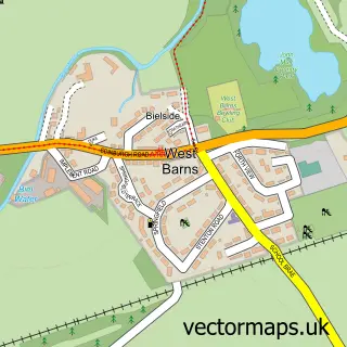
This Cockburnspath street map is a detailed vector street map covering a 750m x 750m area. Select a larger area to create and download your own vector street map of Cockburnspath.
The 750-metre map sample for Cockburnspath covers 142 mapped buildings and approximately 7.8 km of road detail, of which 8 named roads are named. The wider area around Cockburnspath features 1 tourism point of interest and 1 food and drink venue. To create a larger or custom map of Cockburnspath, the map builder lets you define your own coverage area and download editable SVG, PDF and PNG files.
Create a larger editable map of Cockburnspath
Choose any area you need and generate a high-quality vector map instantly. Perfect for print, planning, design, business and personal use.

This Cockburnspath street map in Berwickshire is available as downloadable SVG, PDF and PNG map files, or as a printed map for planning, business, display, education, local information and design work. You can also create a larger custom map area using the map selector.
What this Cockburnspath map sample shows
Cockburnspath lies within Scottish Borders parish, part of East Berwickshire ward in the Scottish Borders local authority area. The postcode geography for this area includes the TD postcode area, the TD13 postcode district and the TD13 5 postcode sector. Residents fall under the Borders for NHS services.
Local features near Cockburnspath
Within 2 milesAmenities and services in and around Cockburnspath.
Administrative and postcode information for Cockburnspath
The local authority covering Cockburnspath is Scottish Borders, within the county of Berwickshire. The settlement lies within East Berwickshire ward and Scottish Borders civil parish. The TD13 postcode district and TD13 5 postcode sector serve the immediate area. NHS provision in the area is delivered through Borders.
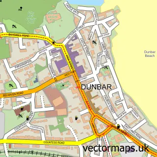
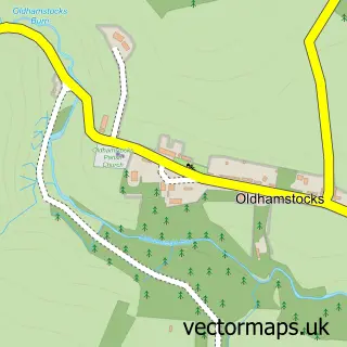
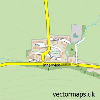
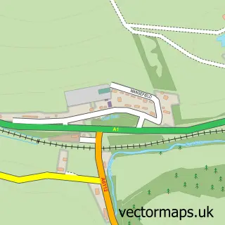
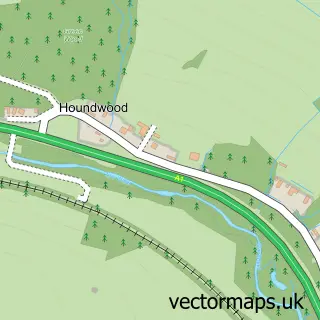
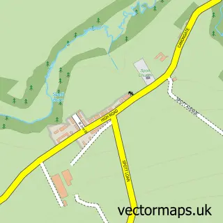
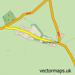
Nearby street map samples around Cockburnspath

More street maps in Berwickshire
750 metre map area coverage
Boundary, postcode and point of interest information for the 750m x 750m rectangle centred on this sample map.
Boundaries containing map centre
Constituency: Berwickshire, Roxburgh and Selkirk Co Const
District: Scottish Borders
Icb: Borders
Postcode District: TD13
Postcode Sector: TD13 5
Ward: East Berwickshire Ward
Nearby boundaries intersecting sample
No additional intersecting boundaries found.
Postcode coverage
POI category counts
Community Services Non Profits: 2
Elementary School: 2
Korean Grocery Store: 2
Accountant: 1
Animal Shelter: 1
Bottled Water Company: 1
Cafe: 1
Catholic Church: 1
Church Cathedral: 1
Community Center: 1
Sample points of interest
- Stocktake UK - Newcastle-Upon-Tyne
- Pease Lye Boarding Kennels
- Purely Scottish Natural Mineral Water
- Cockburnspath Community Cafe
- Dunglass Parish Church (Cockburnspath)
- Cockburnspath Church
- Cockburnspath Village Hall
- Cockburnspath Community Shop
- Cockburnspath and Cove
- The Annex, Townhead Farm
- Cockburnspath Primary School
- Friends of Cockburnspath Primary & Nursery
Create a larger editable map of Cockburnspath
This sample shows only a 750 metre area. To create a larger map of Cockburnspath, use our map builder to choose your own coverage area, add titles and download editable SVG, PDF and PNG files.
Create a custom map of Cockburnspath