Vector Maps logo
Home Why it works Popular maps Districts Samples Customizer Create Your Map
VectorMaps.uk
Home Popular maps Districts Samples Customizer Create Your Map Privacy Disclaimer
Home / UK Maps / East Lothian / Dunbar Map

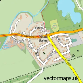
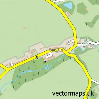
This Dunbar street map is a detailed vector street map covering a 750m x 750m area. Select a larger area to create and download your own vector street map of Dunbar.

Dunbar is a town in East Lothian, in the South Scotland of Scotland. The settlement falls within the East Lothian parliamentary constituency. It is served by the EH42 postcode district, with EH42 1 as the local postcode sector.

The 750-metre map sample for Dunbar covers 290 mapped buildings and approximately 16.1 km of road detail, of which 38 named roads are named. The immediate area includes 3 GP surgeries, 5 pubs and 2 MOT stations, with 4 within 2 miles. The wider area around Dunbar features 7 tourism points of interest, 16 food and drink venues and 7 hotels. To create a larger or custom map of Dunbar, the map builder lets you define your own coverage area and download editable SVG, PDF and PNG files.

290Buildings
16.14 kmRoads
38Named roads
0Residents within 2 miles
Create your own

Create a larger editable map of Dunbar

Choose any area you need and generate a high-quality vector map instantly. Perfect for print, planning, design, business and personal use.

Choose any location
Editable SVG files
Any size up to A0
PDF, PNG & more
Instant download
High quality guaranteed
Create My Custom Map
Secure, private & no credit card required
Dunbar Vector Street Map
750m Sample
Dunbar vector street map sample showing roads, buildings and local features in a 750 metre preview area
Buy Dunbar Map Print from £12.95 Buy Dunbar Digital Map from £6

This Dunbar street map in East Lothian is available as downloadable SVG, PDF and PNG map files, or as a printed map for planning, business, display, education, local information and design work. You can also create a larger custom map area using the map selector.

What this Dunbar map sample shows

Dunbar lies within East Lothian parish, part of Dunbar And East Linton ward in the East Lothian local authority area. The postcode geography for this area includes the EH postcode area, the EH42 postcode district and the EH42 1 postcode sector. Residents fall under the Lothian for NHS services.

Local features near Dunbar

Within 2 miles

Amenities and services in and around Dunbar.

2 Campsites within 2 miles
3 GP surgeries 3 within 2 miles
2 MOT stations 4 within 2 miles
7 Tourism & leisure
16 Food & drink
5 Pubs
7 Hotels
6 Healthcare POIs
1 Vehicle services

Counts are approximate and based on publicly available data.

Administrative and postcode information for Dunbar

Dunbar lies within East Lothian parish, part of Dunbar And East Linton ward in the East Lothian local authority area. The postcode geography for this area includes the EH postcode area, the EH42 postcode district and the EH42 1 postcode sector. Residents fall under the Lothian for NHS services.

Parish EAST LOTHIAN
Ward Dunbar and East Linton
District / local authority East Lothian
County East Lothian
Historic county East Lothian
Postcode district EH42
Postcode sector EH42 1
Parliamentary constituency East Lothian
Region South Scotland
Country Scotland

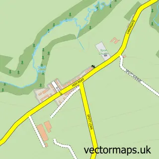
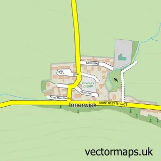
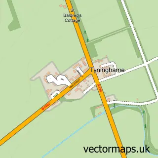
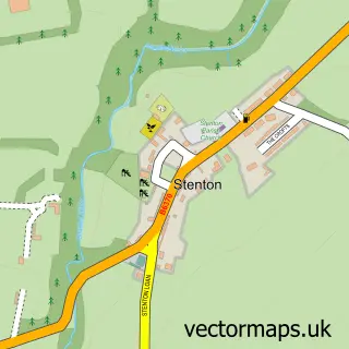
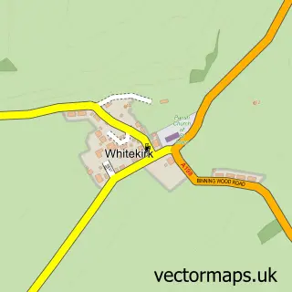
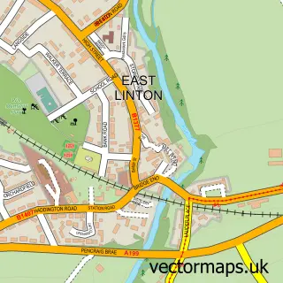
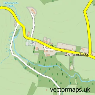
Nearby street map samples around Dunbar

Street map sample of Edinburgh, City of Edinburgh Edinburgh City - City of Edinburgh - 26.2 miles Street map sample of West Barns, East Lothian West Barns Village - East Lothian - 1.5 miles Street map sample of Spott, East Lothian Spott Village - East Lothian - 2.2 miles Street map sample of Innerwick, East Lothian Innerwick Village - East Lothian - 4.0 miles Street map sample of Tyninghame, East Lothian Tyninghame Village - East Lothian - 4.3 miles Street map sample of Stenton, East Lothian Stenton Village - East Lothian - 4.7 miles Street map sample of Whitekirk, East Lothian Whitekirk Village - East Lothian - 5.4 miles Street map sample of East Linton, East Lothian East Linton Village - East Lothian - 5.5 miles Street map sample of Oldhamstocks, East Lothian Oldhamstocks Village - East Lothian - 6.4 miles Street map sample of Garvald, East Lothian Garvald Village - East Lothian - 7.6 miles

More street maps in East Lothian

Street map sample of West Barns, East Lothian West Barns Village - 1.5 miles Street map sample of Spott, East Lothian Spott Village - 2.2 miles Street map sample of Innerwick, East Lothian Innerwick Village - 4.0 miles Street map sample of Tyninghame, East Lothian Tyninghame Village - 4.3 miles Street map sample of Stenton, East Lothian Stenton Village - 4.7 miles

750 metre map area coverage

Boundary, postcode and point of interest information for the 750m x 750m rectangle centred on this sample map.

Boundaries containing map centre

Constituency: Lothian East Co Const

District: East Lothian

Icb: Lothian

Postcode District: EH42

Postcode Sector: EH42 1

Ward: Dunbar and East Linton Ward

Nearby boundaries intersecting sample

No additional intersecting boundaries found.

Postcode coverage

EH42 EH42 1

POI category counts

Community Services Non Profits: 7

Hotel: 7

Flowers And Gifts Shop: 6

Hair Salon: 6

Banks: 5

Pub: 5

Beauty And Spa: 4

Beauty Salon: 4

Church Cathedral: 4

Coffee Shop: 4

Sample points of interest

  • G Spratt and Co Accountant
  • George Spratt & Co. Accountant
  • Ian J Brown & Co. Accountant
  • Dunbar Riding Club Active Life
  • Dunbar Osteopathic Practice Alternative Medicine
  • Cromwells Antique Store
  • Sue Ryder Antique Store
  • A.n. Dodds Electrical Store Appliance Store
  • Dodds A N Appliance Store
  • Dunbar Street Art Trail Art Gallery
  • The Found Gallery Art Gallery
  • The Found Gallery Art Gallery

Create a larger editable map of Dunbar

This sample shows only a 750 metre area. To create a larger map of Dunbar, use our map builder to choose your own coverage area, add titles and download editable SVG, PDF and PNG files.

Create a custom map of Dunbar

Phone 01751 473136 | Copyright Vectormaps.uk 2026

Samples Customizer Privacy Disclaimer
Dunbar Vector Street Map
Dunbar enlarged street map sample showing a 750 metre preview area