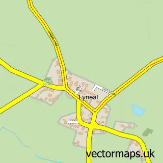
This Cockshutt street map is a detailed vector street map covering a 750m x 750m area. Select a larger area to create and download your own vector street map of Cockshutt.
The 750-metre map sample for Cockshutt covers 187 mapped buildings and approximately 12.7 km of road detail, of which 8 named roads are named. The immediate area includes 1 school, 1 pub and 1 MOT station within 2 miles. The wider area around Cockshutt features 2 food and drink venues. To create a larger or custom map of Cockshutt, the map builder lets you define your own coverage area and download editable SVG, PDF and PNG files.
Create a larger editable map of Cockshutt
Choose any area you need and generate a high-quality vector map instantly. Perfect for print, planning, design, business and personal use.

This Cockshutt street map in Shropshire is available as downloadable SVG, PDF and PNG map files, or as a printed map for planning, business, display, education, local information and design work. You can also create a larger custom map area using the map selector.
What this Cockshutt map sample shows
Cockshutt lies within Cockshutt Cp parish, part of The Meres ward in the Shropshire local authority area. The postcode geography for this area includes the SY postcode area, the SY12 postcode district and the SY12 0 postcode sector. Residents fall under the Nhs Shropshire, Telford And Wrekin Integrated Care Board for NHS services.
Local features near Cockshutt
Within 2 milesAmenities and services in and around Cockshutt.
Administrative and postcode information for Cockshutt
The local authority covering Cockshutt is Shropshire, within the county of Shropshire. The settlement lies within The Meres ward and Cockshutt Cp civil parish. The SY12 postcode district and SY12 0 postcode sector serve the immediate area. NHS provision in the area is delivered through The Shrewsbury And Telford Hospital Nhs Trust.
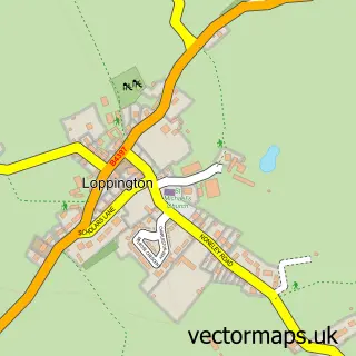
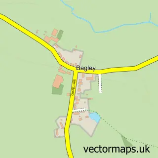
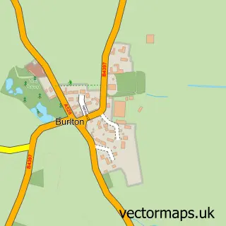
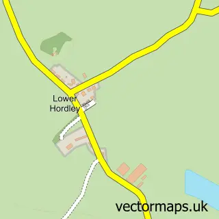
Nearby street map samples around Cockshutt

More street maps in Shropshire
750 metre map area coverage
Boundary, postcode and point of interest information for the 750m x 750m rectangle centred on this sample map.
Boundaries containing map centre
Constituency: North Shropshire Co Const
District: Shropshire
Icb: NHS Shropshire Telford and Wrekin ICB
Parish: Cockshutt CP
Police Force: west mercia
Postcode District: SY12
Postcode Sector: SY12 0
Nearby boundaries intersecting sample
No additional intersecting boundaries found.
Postcode coverage
POI category counts
Convenience Store: 2
Post Office: 2
Anglican Church: 1
Community Center: 1
Elementary School: 1
Event Planning: 1
Holiday Rental Home: 1
Industrial Company: 1
Pub: 1
Public Service And Government: 1
Sample points of interest
- Cockshutt St. Simon and St. Jude
- Cockshutt Village
- Cockshutt Convenience Shop
- Cockshutt Village Stores
- Cockshutt Church of England Primary School
- Cockshutt Millennium Hall
- The Barns at Blackwater Meadow
- Tidy Woods
- Cockshutt Post Office
- Post Office-Cockshutt
- The Woodcock Inn
- Fenn's Whixall and Bettisfield Mosses National Nature Reserve
Create a larger editable map of Cockshutt
This sample shows only a 750 metre area. To create a larger map of Cockshutt, use our map builder to choose your own coverage area, add titles and download editable SVG, PDF and PNG files.
Create a custom map of Cockshutt