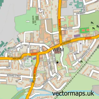
This Loppington street map is a detailed vector street map covering a 750m x 750m area. Select a larger area to create and download your own vector street map of Loppington.
The 750-metre map sample for Loppington covers 151 mapped buildings and approximately 8.9 km of road detail, of which 4 named roads are named. The immediate area includes 2 pubs and 1 MOT station. The wider area around Loppington features 2 food and drink venues and 1 hotel. To create a larger or custom map of Loppington, the map builder lets you define your own coverage area and download editable SVG, PDF and PNG files.
Create a larger editable map of Loppington
Choose any area you need and generate a high-quality vector map instantly. Perfect for print, planning, design, business and personal use.

This Loppington street map in Shropshire is available as downloadable SVG, PDF and PNG map files, or as a printed map for planning, business, display, education, local information and design work. You can also create a larger custom map area using the map selector.
What this Loppington map sample shows
Loppington lies within Loppington Cp parish, part of The Meres ward in the Shropshire local authority area. The postcode geography for this area includes the SY postcode area, the SY4 postcode district and the SY4 5 postcode sector. Residents fall under the Nhs Shropshire, Telford And Wrekin Integrated Care Board for NHS services.
Local features near Loppington
Within 2 milesAmenities and services in and around Loppington.
Administrative and postcode information for Loppington
The local authority covering Loppington is Shropshire, within the county of Shropshire. The settlement lies within The Meres ward and Loppington Cp civil parish. The SY4 postcode district and SY4 5 postcode sector serve the immediate area. NHS provision in the area is delivered through The Shrewsbury And Telford Hospital Nhs Trust.
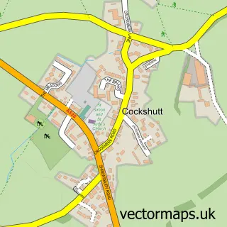
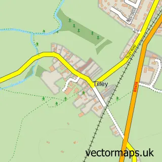
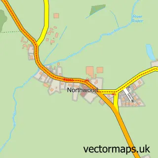
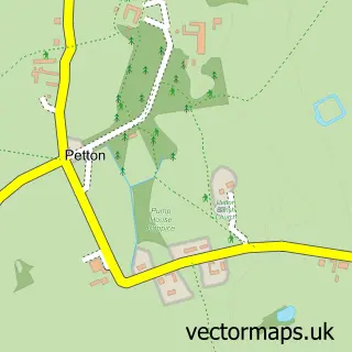
Nearby street map samples around Loppington

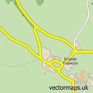
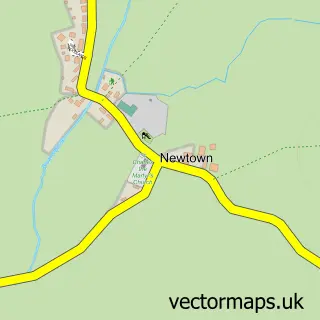
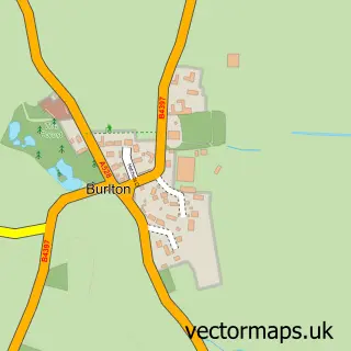
More street maps in Shropshire
750 metre map area coverage
Boundary, postcode and point of interest information for the 750m x 750m rectangle centred on this sample map.
Boundaries containing map centre
Constituency: North Shropshire Co Const
District: Shropshire
Icb: NHS Shropshire Telford and Wrekin ICB
Parish: Loppington CP
Police Force: west mercia
Postcode District: SY4
Postcode Sector: SY4 5
Nearby boundaries intersecting sample
Postcode District: SY12
Postcode Sector: SY12 0
Postcode coverage
POI category counts
Post Office: 2
Pub: 2
Anglican Church: 1
Community Center: 1
Health And Medical: 1
Hotel: 1
Information Technology Company: 1
Metal Fabricator: 1
Retail: 1
Sample points of interest
- Loppington S.Michael and All Angels
- Loppington Village Hall
- Safety & Training
- Spenford House Boutique Rooms
- Border Technik Ltd.
- Value Valet
- Loppington Post Office
- Post Office
- Dickin Arms
- The Dickin Arms
- Hawk Plant Hire
Create a larger editable map of Loppington
This sample shows only a 750 metre area. To create a larger map of Loppington, use our map builder to choose your own coverage area, add titles and download editable SVG, PDF and PNG files.
Create a custom map of Loppington