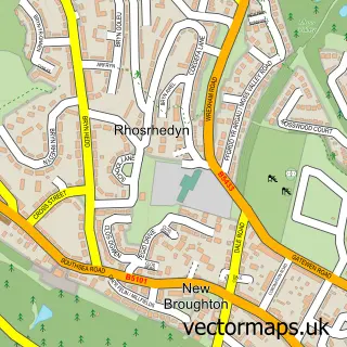
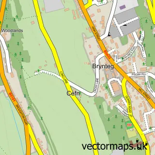
This Coedpoeth street map is a detailed vector street map covering a 750m x 750m area. Select a larger area to create and download your own vector street map of Coedpoeth.
The 750-metre map sample for Coedpoeth covers 486 mapped buildings and approximately 19.1 km of road detail, of which 41 named roads are named. The immediate area includes 2 schools, 2 GP surgeries within 2 miles, 3 pubs and 7 MOT stations within 2 miles. The wider area around Coedpoeth features 1 tourism point of interest and 4 food and drink venues. To create a larger or custom map of Coedpoeth, the map builder lets you define your own coverage area and download editable SVG, PDF and PNG files.
Create a larger editable map of Coedpoeth
Choose any area you need and generate a high-quality vector map instantly. Perfect for print, planning, design, business and personal use.

This Coedpoeth street map in Clwyd is available as downloadable SVG, PDF and PNG map files, or as a printed map for planning, business, display, education, local information and design work. You can also create a larger custom map area using the map selector.
What this Coedpoeth map sample shows
Coedpoeth lies within Coedpoeth Community parish, part of Coedpoeth ward in the Wrecsam - Wrexham local authority area. The postcode geography for this area includes the LL postcode area, the LL11 postcode district and the LL11 3 postcode sector. Residents fall under the Betsi Cadwaladr University Health Board for NHS services.
Local features near Coedpoeth
Within 2 milesAmenities and services in and around Coedpoeth.
Administrative and postcode information for Coedpoeth
Coedpoeth lies within Coedpoeth Community parish, part of Coedpoeth ward in the Wrecsam - Wrexham local authority area. The postcode geography for this area includes the LL postcode area, the LL11 postcode district and the LL11 3 postcode sector. Residents fall under the Betsi Cadwaladr University Health Board for NHS services.
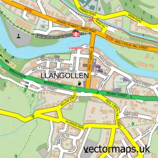
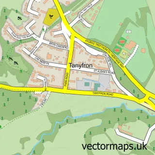
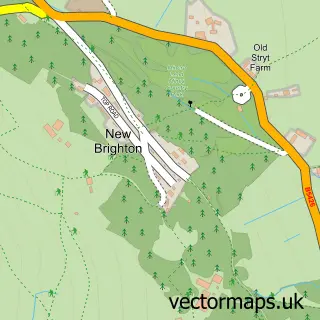
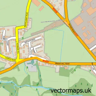
Nearby street map samples around Coedpoeth

More street maps in Clwyd
750 metre map area coverage
Boundary, postcode and point of interest information for the 750m x 750m rectangle centred on this sample map.
Boundaries containing map centre
Constituency: Wrexham Co Const
District: Wrecsam - Wrexham
Icb: Betsi Cadwaladr University
Parish: Coedpoeth Community
Police Force: north wales
Postcode District: LL11
Postcode Sector: LL11 3
Nearby boundaries intersecting sample
No additional intersecting boundaries found.
Postcode coverage
POI category counts
Pub: 3
Beauty And Spa: 2
Building Supply Store: 2
Doctor: 2
Education: 2
Elementary School: 2
Fast Food Restaurant: 2
Liquor Store: 2
Pharmacy: 2
Post Office: 2
Sample points of interest
- The Audio Cafe
- David Fall
- PayPoint
- KV Outdoors
- Brian Hayes Auto Electrical
- Divine Hair and Beauty
- Styles Hairdressers
- Debutantes 4 Hair
- Post Office
- CES Electrical Services
- Garden Works
- Winnie's Cafe
Create a larger editable map of Coedpoeth
This sample shows only a 750 metre area. To create a larger map of Coedpoeth, use our map builder to choose your own coverage area, add titles and download editable SVG, PDF and PNG files.
Create a custom map of Coedpoeth