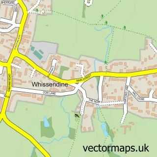
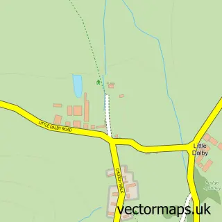
This Cold Overton street map is a detailed vector street map covering a 750m x 750m area. Select a larger area to create and download your own vector street map of Cold Overton.
The 750-metre map sample for Cold Overton covers 54 mapped buildings and approximately 18.8 km of road detail, of which 5 named roads are named. The wider area around Cold Overton features 1 tourism point of interest and 1 campsite within 2 miles. To create a larger or custom map of Cold Overton, the map builder lets you define your own coverage area and download editable SVG, PDF and PNG files.
Create a larger editable map of Cold Overton
Choose any area you need and generate a high-quality vector map instantly. Perfect for print, planning, design, business and personal use.

This Cold Overton street map in Leicestershire is available as downloadable SVG, PDF and PNG map files, or as a printed map for planning, business, display, education, local information and design work. You can also create a larger custom map area using the map selector.
What this Cold Overton map sample shows
Cold Overton lies within Knossington And Cold Overton Cp parish, part of Somerby ward in the Melton District (B) local authority area. The postcode geography for this area includes the LE postcode area, the LE15 postcode district and the LE15 7 postcode sector. Residents fall under the Nhs Leicester, Leicestershire And Rutland Integrated Care Board for NHS services.
Local features near Cold Overton
Within 2 milesAmenities and services in and around Cold Overton.
Administrative and postcode information for Cold Overton
Cold Overton lies within Knossington And Cold Overton Cp parish, part of Somerby ward in the Melton District (B) local authority area. The postcode geography for this area includes the LE postcode area, the LE15 postcode district and the LE15 7 postcode sector. Residents fall under the Nhs Leicester, Leicestershire And Rutland Integrated Care Board for NHS services.
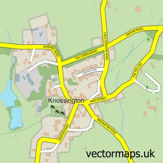
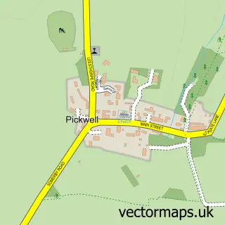
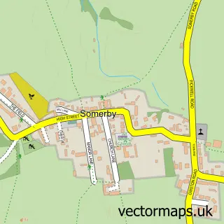
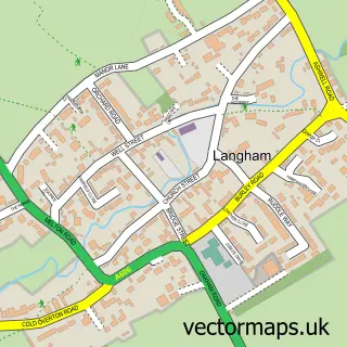
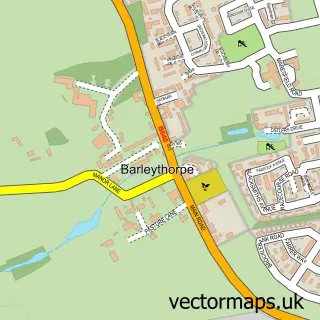
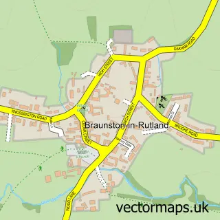
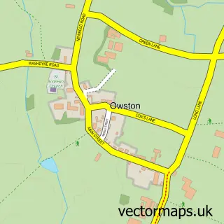
Nearby street map samples around Cold Overton

More street maps in Leicestershire
750 metre map area coverage
Boundary, postcode and point of interest information for the 750m x 750m rectangle centred on this sample map.
Boundaries containing map centre
Constituency: Melton and Syston Co Const
County: Leicestershire County
District: Melton District (B)
Icb: NHS Leicester Leicestershire and Rutland ICB
Parish: Knossington and Cold Overton CP
Police Force: leicestershire
Postcode District: LE15
Postcode Sector: LE15 7
Ward: Somerby Ward
Nearby boundaries intersecting sample
No additional intersecting boundaries found.
Postcode coverage
POI category counts
Nursery And Gardening: 2
Anglican Church: 1
Art Gallery: 1
Church Cathedral: 1
Clothing Store: 1
Farm: 1
Health Food Store: 1
Hot Tubs And Pools: 1
Kitchen Supply Store: 1
Landmark And Historical Building: 1
Sample points of interest
- Cold Overton: St John the Baptist
- Maidenhead Aquatics
- St John the Baptist Church
- Mountain Warehouse Gates Garden Centre
- Gates Farm Shop
- Holland & Barrett - Gates Garden Centre
- Leicester Hot Tub Hire
- Lakeland
- Cold Overton Hall
- Gates Garden Centre
- Gates' Nurseries
- Pavers Shoes
Create a larger editable map of Cold Overton
This sample shows only a 750 metre area. To create a larger map of Cold Overton, use our map builder to choose your own coverage area, add titles and download editable SVG, PDF and PNG files.
Create a custom map of Cold Overton