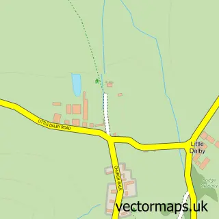
This Whissendine street map is a detailed vector street map covering a 750m x 750m area. Select a larger area to create and download your own vector street map of Whissendine.
The 750-metre map sample for Whissendine covers 241 mapped buildings and approximately 23.7 km of road detail, of which 13 named roads are named. The immediate area includes 1 school and 2 pubs. The wider area around Whissendine features 4 food and drink venues and 1 campsite within 2 miles. To create a larger or custom map of Whissendine, the map builder lets you define your own coverage area and download editable SVG, PDF and PNG files.
Create a larger editable map of Whissendine
Choose any area you need and generate a high-quality vector map instantly. Perfect for print, planning, design, business and personal use.

This Whissendine street map in Rutland is available as downloadable SVG, PDF and PNG map files, or as a printed map for planning, business, display, education, local information and design work. You can also create a larger custom map area using the map selector.
What this Whissendine map sample shows
Whissendine lies within Whissendine Cp parish, part of Whissendine ward in the Rutland local authority area. The postcode geography for this area includes the LE postcode area, the LE15 postcode district and the LE15 7 postcode sector. Residents fall under the Nhs Leicester, Leicestershire And Rutland Integrated Care Board for NHS services.
Local features near Whissendine
Within 2 milesAmenities and services in and around Whissendine.
Administrative and postcode information for Whissendine
Whissendine lies within Whissendine Cp parish, part of Whissendine ward in the Rutland local authority area. The postcode geography for this area includes the LE postcode area, the LE15 postcode district and the LE15 7 postcode sector. Residents fall under the Nhs Leicester, Leicestershire And Rutland Integrated Care Board for NHS services.
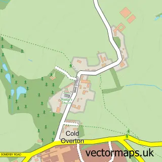
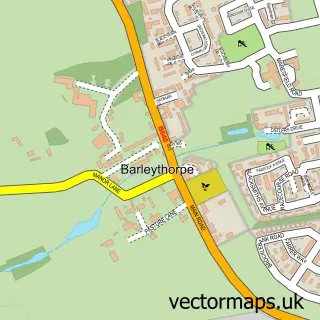
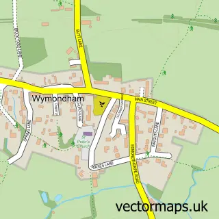
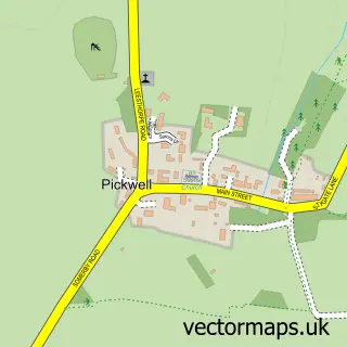
Nearby street map samples around Whissendine

More street maps in Rutland
750 metre map area coverage
Boundary, postcode and point of interest information for the 750m x 750m rectangle centred on this sample map.
Boundaries containing map centre
Constituency: Rutland and Stamford Co Const
District: Rutland
Icb: NHS Leicester Leicestershire and Rutland ICB
Parish: Whissendine CP
Police Force: leicestershire
Postcode District: LE15
Postcode Sector: LE15 7
Ward: Whissendine Ward
Nearby boundaries intersecting sample
No additional intersecting boundaries found.
Postcode coverage
POI category counts
Currency Exchange: 2
Electrician: 2
Post Office: 2
Pub: 2
Restaurant: 2
Beauty Salon: 1
Building Contractor: 1
Building Supply Store: 1
Business Consulting: 1
Community Services Non Profits: 1
Sample points of interest
- Limelights
- Rutland Curtains
- Rutland Building Services
- Central Food Control
- The Harley Staples Cancer Trust
- Boss Stone Masonry
- Post Office Travel Money
- Post Office-Whissendine
- Rutland County Council
- C P Hatton
- Excelec Electrical Contractors
- Whissendine Primary School, Main St, Whissendine, Whissendine, Oakham
Create a larger editable map of Whissendine
This sample shows only a 750 metre area. To create a larger map of Whissendine, use our map builder to choose your own coverage area, add titles and download editable SVG, PDF and PNG files.
Create a custom map of Whissendine