This Wymondham street map is a detailed vector street map covering a 750m x 750m area. Select a larger area to create and download your own vector street map of Wymondham.
The 750-metre map sample for Wymondham covers 163 mapped buildings and approximately 14.0 km of road detail, of which 11 named roads are named. The immediate area includes 1 pub. The wider area around Wymondham features 1 food and drink venue. To create a larger or custom map of Wymondham, the map builder lets you define your own coverage area and download editable SVG, PDF and PNG files.
Create a larger editable map of Wymondham
Choose any area you need and generate a high-quality vector map instantly. Perfect for print, planning, design, business and personal use.

This Wymondham street map in Leicestershire is available as downloadable SVG, PDF and PNG map files, or as a printed map for planning, business, display, education, local information and design work. You can also create a larger custom map area using the map selector.
What this Wymondham map sample shows
Wymondham lies within Wymondham Cp parish, part of Wymondham ward in the Melton District (B) local authority area. The postcode geography for this area includes the LE postcode area, the LE14 postcode district and the LE14 2 postcode sector. Residents fall under the Nhs Leicester, Leicestershire And Rutland Integrated Care Board for NHS services.
Local features near Wymondham
Within 2 milesAmenities and services in and around Wymondham.
Administrative and postcode information for Wymondham
Wymondham lies within Wymondham Cp parish, part of Wymondham ward in the Melton District (B) local authority area. The postcode geography for this area includes the LE postcode area, the LE14 postcode district and the LE14 2 postcode sector. Residents fall under the Nhs Leicester, Leicestershire And Rutland Integrated Care Board for NHS services.
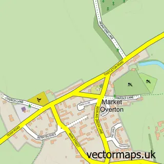
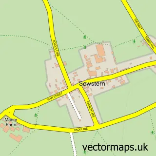
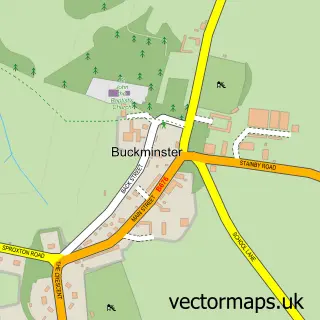
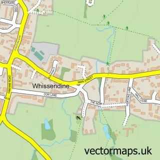
Nearby street map samples around Wymondham

More street maps in Leicestershire
750 metre map area coverage
Boundary, postcode and point of interest information for the 750m x 750m rectangle centred on this sample map.
Boundaries containing map centre
Constituency: Melton and Syston Co Const
County: Leicestershire County
District: Melton District (B)
Icb: NHS Leicester Leicestershire and Rutland ICB
Parish: Wymondham CP
Police Force: leicestershire
Postcode District: LE14
Postcode Sector: LE14 2
Ward: Wymondham Ward
Nearby boundaries intersecting sample
No additional intersecting boundaries found.
Postcode coverage
POI category counts
Anglican Church: 1
Antique Store: 1
Beauty Product Supplier: 1
Boat Rental And Training: 1
Church Cathedral: 1
Community Center: 1
Fashion Accessories Store: 1
Furniture Store: 1
Liquor Store: 1
Professional Services: 1
Sample points of interest
- Wymondham: St. Peter
- Old Bakery Antiques
- Body Beauty Spirit
- Rutland Water Cruises
- St Peter's Church
- Wymondham Village Hall
- Melinda Designs & Clothes in the Attic Dress Agency
- The Wood Boutique
- Frenchvines Shop
- Pioneer Environment
- Berkeley Arms
- Rutland Development
Create a larger editable map of Wymondham
This sample shows only a 750 metre area. To create a larger map of Wymondham, use our map builder to choose your own coverage area, add titles and download editable SVG, PDF and PNG files.
Create a custom map of Wymondham