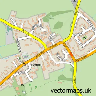
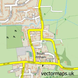
This Market Overton street map is a detailed vector street map covering a 750m x 750m area. Select a larger area to create and download your own vector street map of Market Overton.
The 750-metre map sample for Market Overton covers 159 mapped buildings and approximately 21.5 km of road detail, of which 13 named roads are named. The immediate area includes 1 GP surgery and 1 pub. The wider area around Market Overton features 1 tourism point of interest and 2 food and drink venues. To create a larger or custom map of Market Overton, the map builder lets you define your own coverage area and download editable SVG, PDF and PNG files.
Create a larger editable map of Market Overton
Choose any area you need and generate a high-quality vector map instantly. Perfect for print, planning, design, business and personal use.

This Market Overton street map in Rutland is available as downloadable SVG, PDF and PNG map files, or as a printed map for planning, business, display, education, local information and design work. You can also create a larger custom map area using the map selector.
What this Market Overton map sample shows
Market Overton lies within Market Overton Cp parish, part of Cottesmore ward in the Rutland local authority area. The postcode geography for this area includes the LE postcode area, the LE15 postcode district and the LE15 7 postcode sector. Residents fall under the Nhs Leicester, Leicestershire And Rutland Integrated Care Board for NHS services.
Local features near Market Overton
Within 2 milesAmenities and services in and around Market Overton.
Administrative and postcode information for Market Overton
The local authority covering Market Overton is Rutland, within the county of Rutland. The settlement lies within Cottesmore ward and Market Overton Cp civil parish. The LE15 postcode district and LE15 7 postcode sector serve the immediate area. NHS provision in the area is delivered through North West Anglia Nhs Foundation Trust.
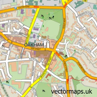
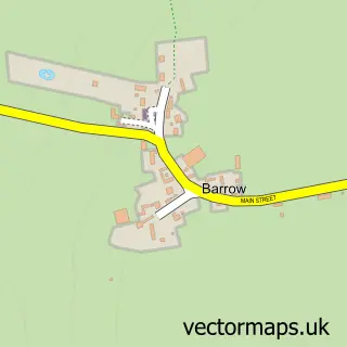
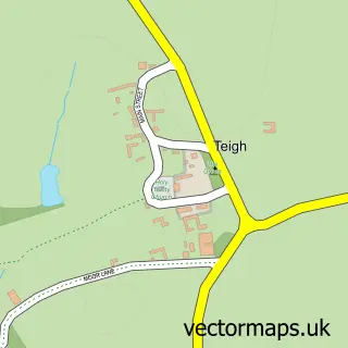
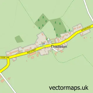
Nearby street map samples around Market Overton

More street maps in Rutland
750 metre map area coverage
Boundary, postcode and point of interest information for the 750m x 750m rectangle centred on this sample map.
Boundaries containing map centre
Constituency: Rutland and Stamford Co Const
District: Rutland
Icb: NHS Leicester Leicestershire and Rutland ICB
Parish: Market Overton CP
Police Force: leicestershire
Postcode District: LE15
Postcode Sector: LE15 7
Ward: Cottesmore Ward
Nearby boundaries intersecting sample
No additional intersecting boundaries found.
Postcode coverage
POI category counts
Engineering Services: 2
Furniture Store: 2
Medical Center: 2
Sports Club And League: 2
Anglican Church: 1
Bar: 1
Business Consulting: 1
Cafe: 1
Church Cathedral: 1
Clothing Store: 1
Sample points of interest
- Market Overton: St Peter & St Paul
- Black Bull Inn
- Bridgewell Corporate Communication
- The Country Cafe
- St Peter and St Paul
- Saddles Worldwide
- Hudson Home Improvements
- Market Overton & Somerby Surgeries
- C B N
- Hi-Spec Precision Engineering
- M&G Casting Repairs Ltd
- Outwoods Tree Services
Create a larger editable map of Market Overton
This sample shows only a 750 metre area. To create a larger map of Market Overton, use our map builder to choose your own coverage area, add titles and download editable SVG, PDF and PNG files.
Create a custom map of Market Overton