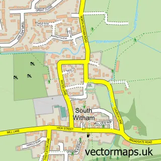
This Greetham street map is a detailed vector street map covering a 750m x 750m area. Select a larger area to create and download your own vector street map of Greetham.
The 750-metre map sample for Greetham covers 216 mapped buildings and approximately 8.7 km of road detail, of which 12 named roads are named. The immediate area includes 3 pubs and 1 MOT station within 2 miles. The wider area around Greetham features 1 tourism point of interest and 4 food and drink venues. To create a larger or custom map of Greetham, the map builder lets you define your own coverage area and download editable SVG, PDF and PNG files.
Create a larger editable map of Greetham
Choose any area you need and generate a high-quality vector map instantly. Perfect for print, planning, design, business and personal use.

This Greetham street map in Rutland is available as downloadable SVG, PDF and PNG map files, or as a printed map for planning, business, display, education, local information and design work. You can also create a larger custom map area using the map selector.
What this Greetham map sample shows
Greetham lies within Greetham Cp parish, part of Greetham ward in the Rutland local authority area. The postcode geography for this area includes the LE postcode area, the LE15 postcode district and the LE15 7 postcode sector. Residents fall under the Nhs Leicester, Leicestershire And Rutland Integrated Care Board for NHS services.
Local features near Greetham
Within 2 milesAmenities and services in and around Greetham.
Administrative and postcode information for Greetham
The local authority covering Greetham is Rutland, within the county of Rutland. The settlement lies within Greetham ward and Greetham Cp civil parish. The LE15 postcode district and LE15 7 postcode sector serve the immediate area. NHS provision in the area is delivered through North West Anglia Nhs Foundation Trust.
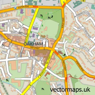
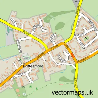
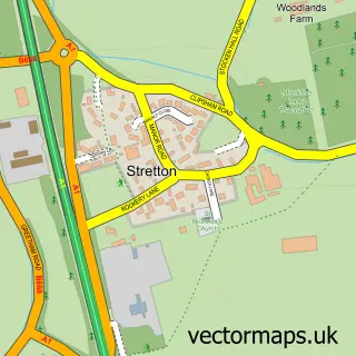
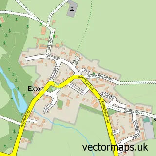
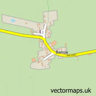
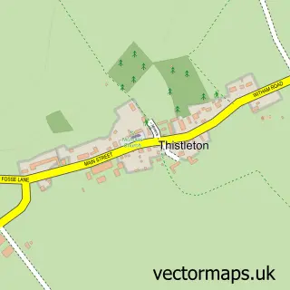
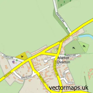
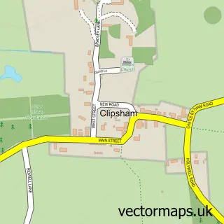
Nearby street map samples around Greetham

More street maps in Rutland
750 metre map area coverage
Boundary, postcode and point of interest information for the 750m x 750m rectangle centred on this sample map.
Boundaries containing map centre
Constituency: Rutland and Stamford Co Const
District: Rutland
Icb: NHS Leicester Leicestershire and Rutland ICB
Parish: Greetham CP
Police Force: leicestershire
Postcode District: LE15
Postcode Sector: LE15 7
Ward: Greetham Ward
Nearby boundaries intersecting sample
Parish: Cottesmore CP
Ward: Cottesmore Ward
Postcode coverage
POI category counts
Pub: 3
Accountant: 2
Professional Services: 2
Active Life: 1
Anglican Church: 1
Business Management Services: 1
Campground: 1
Community Center: 1
Convenience Store: 1
Currency Exchange: 1
Sample points of interest
- Barnstone Accountancy
- Barnstone Accountancy
- Revitalise Fitness
- Greetham - St Mary
- Boshanka
- Rutland Caravan and Camping
- Greetham Community Centre
- Greetham Village Shop
- Post Office Travel Money
- Greetham Physiotherapy & Specialist Knee Clinic
- Escape
- Kirstie Norwood Coaching
Create a larger editable map of Greetham
This sample shows only a 750 metre area. To create a larger map of Greetham, use our map builder to choose your own coverage area, add titles and download editable SVG, PDF and PNG files.
Create a custom map of Greetham