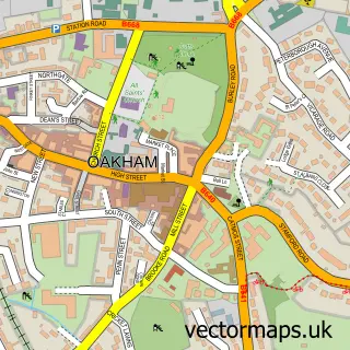
This Stretton street map is a detailed vector street map covering a 750m x 750m area. Select a larger area to create and download your own vector street map of Stretton.
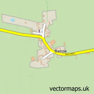
The 750-metre map sample for Stretton covers 104 mapped buildings and approximately 19.8 km of road detail, of which 8 named roads are named. The immediate area includes 1 school and 1 pub. The wider area around Stretton features 2 food and drink venues. To create a larger or custom map of Stretton, the map builder lets you define your own coverage area and download editable SVG, PDF and PNG files.
Create a larger editable map of Stretton
Choose any area you need and generate a high-quality vector map instantly. Perfect for print, planning, design, business and personal use.

This Stretton street map in Rutland is available as downloadable SVG, PDF and PNG map files, or as a printed map for planning, business, display, education, local information and design work. You can also create a larger custom map area using the map selector.
What this Stretton map sample shows
Stretton lies within Stretton Cp parish, part of Greetham ward in the Rutland local authority area. The postcode geography for this area includes the LE postcode area, the LE15 postcode district and the LE15 7 postcode sector. Residents fall under the Nhs Leicester, Leicestershire And Rutland Integrated Care Board for NHS services.
Local features near Stretton
Within 2 milesAmenities and services in and around Stretton.
Administrative and postcode information for Stretton
Stretton lies within Stretton Cp parish, part of Greetham ward in the Rutland local authority area. The postcode geography for this area includes the LE postcode area, the LE15 postcode district and the LE15 7 postcode sector. Residents fall under the Nhs Leicester, Leicestershire And Rutland Integrated Care Board for NHS services.
Nearby street map samples around Stretton

More street maps in Rutland
750 metre map area coverage
Boundary, postcode and point of interest information for the 750m x 750m rectangle centred on this sample map.
Boundaries containing map centre
Constituency: Rutland and Stamford Co Const
District: Rutland
Icb: NHS Leicester Leicestershire and Rutland ICB
Parish: Stretton CP
Police Force: leicestershire
Postcode District: LE15
Postcode Sector: LE15 7
Ward: Greetham Ward
Nearby boundaries intersecting sample
Parish: Greetham CP
Postcode coverage
POI category counts
Convenience Store: 3
Gas Station: 3
Anglican Church: 1
Burger Restaurant: 1
Cafe: 1
Courier And Delivery Services: 1
Diner: 1
Emissions Inspection: 1
Financial Service: 1
Gym: 1
Sample points of interest
- Stretton - St Nicholas
- Wendy's
- RJs A1 Truck Cafe
- Londis
- SPAR - Stretton
- SPAR Stretton
- Evri ParcelShop
- Brightside Roadside Dining Ram Jam
- Greetham Garage
- J P Leefe & Co Llp
- MPK RAM JAM SERVICE STATION
- TEXACO Station
Create a larger editable map of Stretton
This sample shows only a 750 metre area. To create a larger map of Stretton, use our map builder to choose your own coverage area, add titles and download editable SVG, PDF and PNG files.
Create a custom map of Stretton