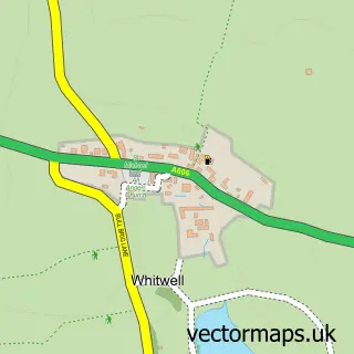
This Exton street map is a detailed vector street map covering a 750m x 750m area. Select a larger area to create and download your own vector street map of Exton.
The 750-metre map sample for Exton covers 150 mapped buildings and approximately 15.6 km of road detail, of which 15 named roads are named. The immediate area includes 1 school and 1 pub. The wider area around Exton features 1 food and drink venue. To create a larger or custom map of Exton, the map builder lets you define your own coverage area and download editable SVG, PDF and PNG files.
Create a larger editable map of Exton
Choose any area you need and generate a high-quality vector map instantly. Perfect for print, planning, design, business and personal use.

This Exton street map in Rutland is available as downloadable SVG, PDF and PNG map files, or as a printed map for planning, business, display, education, local information and design work. You can also create a larger custom map area using the map selector.
What this Exton map sample shows
Exton lies within Exton And Horn Cp parish, part of Exton ward in the Rutland local authority area. The postcode geography for this area includes the LE postcode area, the LE15 postcode district and the LE15 8 postcode sector. Residents fall under the Nhs Leicester, Leicestershire And Rutland Integrated Care Board for NHS services.
Local features near Exton
Within 2 milesAmenities and services in and around Exton.
Administrative and postcode information for Exton
Exton lies within Exton And Horn Cp parish, part of Exton ward in the Rutland local authority area. The postcode geography for this area includes the LE postcode area, the LE15 postcode district and the LE15 8 postcode sector. Residents fall under the Nhs Leicester, Leicestershire And Rutland Integrated Care Board for NHS services.
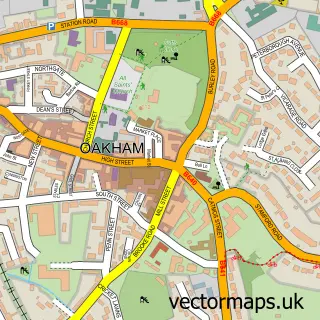
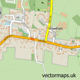
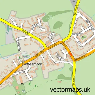
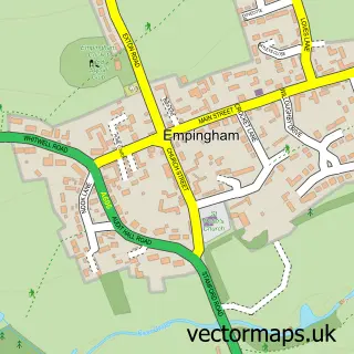
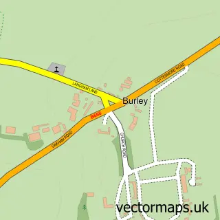
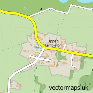
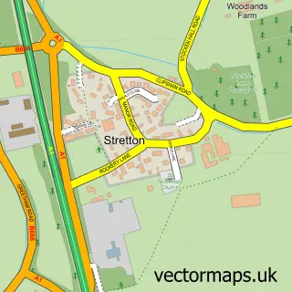
Nearby street map samples around Exton

More street maps in Rutland
750 metre map area coverage
Boundary, postcode and point of interest information for the 750m x 750m rectangle centred on this sample map.
Boundaries containing map centre
Constituency: Rutland and Stamford Co Const
District: Rutland
Icb: NHS Leicester Leicestershire and Rutland ICB
Parish: Exton and Horn CP
Police Force: leicestershire
Postcode District: LE15
Postcode Sector: LE15 8
Ward: Exton Ward
Nearby boundaries intersecting sample
No additional intersecting boundaries found.
Postcode coverage
POI category counts
Art Gallery: 1
Arts And Crafts: 1
Community Center: 1
Flowers And Gifts Shop: 1
Fruits And Vegetables: 1
Pharmaceutical Companies: 1
Photographer: 1
Preschool: 1
Professional Services: 1
Pub: 1
Sample points of interest
- Pet Portraits by Artist Penny Richardson
- Picture Framing Rutland
- Exton Village Hall
- Paper Plane
- The Village Barrow
- Natures Face
- Rutland Photo
- The Rainbow Child Care Centre
- The Exton Estates
- Fox and Hounds
- Penny Richardson Pet Portrait Artist
- Hydrofido
Create a larger editable map of Exton
This sample shows only a 750 metre area. To create a larger map of Exton, use our map builder to choose your own coverage area, add titles and download editable SVG, PDF and PNG files.
Create a custom map of Exton