This South Witham street map is a detailed vector street map covering a 750m x 750m area. Select a larger area to create and download your own vector street map of South Witham.
The 750-metre map sample for South Witham covers 315 mapped buildings and approximately 15.9 km of road detail, of which 21 named roads are named. The immediate area includes 1 school and 4 pubs. The wider area around South Witham features 1 tourism point of interest, 5 food and drink venues and 1 hotel. To create a larger or custom map of South Witham, the map builder lets you define your own coverage area and download editable SVG, PDF and PNG files.
Create a larger editable map of South Witham
Choose any area you need and generate a high-quality vector map instantly. Perfect for print, planning, design, business and personal use.

This South Witham street map in Lincolnshire is available as downloadable SVG, PDF and PNG map files, or as a printed map for planning, business, display, education, local information and design work. You can also create a larger custom map area using the map selector.
What this South Witham map sample shows
South Witham lies within South Witham Cp parish, part of Isaac Newton ward in the South Kesteven District local authority area. The postcode geography for this area includes the NG postcode area, the NG33 postcode district and the NG33 5 postcode sector. Residents fall under the Nhs Lincolnshire Integrated Care Board for NHS services.
Local features near South Witham
Within 2 milesAmenities and services in and around South Witham.
Administrative and postcode information for South Witham
The local authority covering South Witham is South Kesteven District, within the county of Lincolnshire. The settlement lies within Isaac Newton ward and South Witham Cp civil parish. The NG33 postcode district and NG33 5 postcode sector serve the immediate area. NHS provision in the area is delivered through United Lincolnshire Hospitals Nhs Trust.
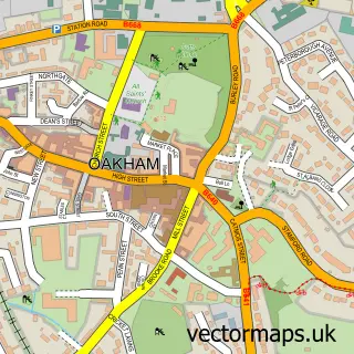
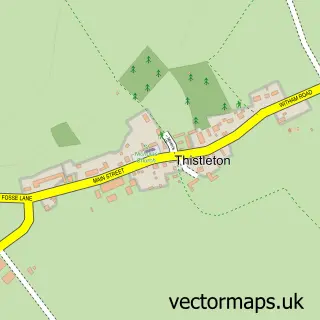
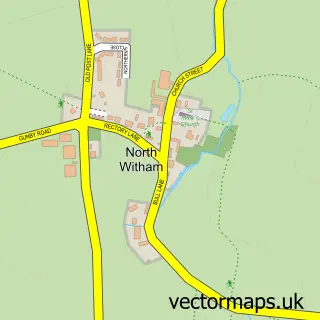
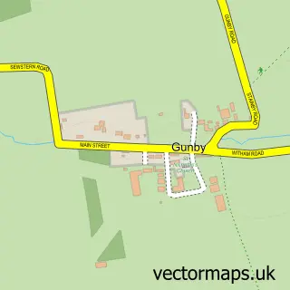
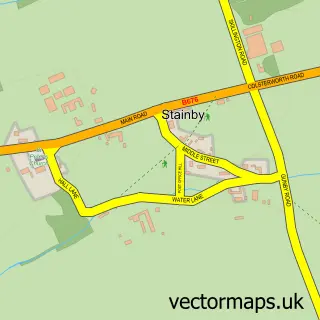
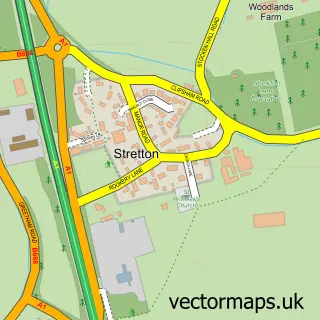
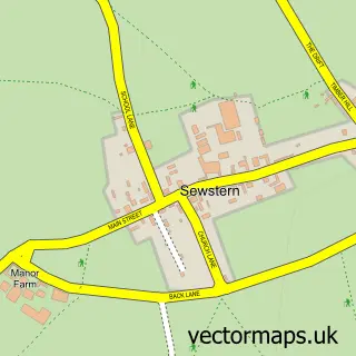
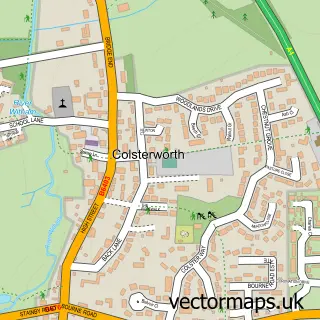
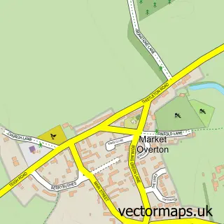
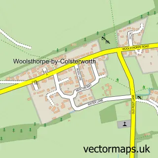
Nearby street map samples around South Witham

More street maps in Lincolnshire
750 metre map area coverage
Boundary, postcode and point of interest information for the 750m x 750m rectangle centred on this sample map.
Boundaries containing map centre
Constituency: Rutland and Stamford Co Const
County: Lincolnshire County
District: South Kesteven District
Icb: NHS Lincolnshire ICB
Parish: South Witham CP
Police Force: lincolnshire
Postcode District: NG33
Postcode Sector: NG33 5
Ward: Isaac Newton Ward
Nearby boundaries intersecting sample
No additional intersecting boundaries found.
Postcode coverage
POI category counts
Post Office: 4
Pub: 4
Garbage Collection Service: 2
Grocery Store: 2
Advertising Agency: 1
Anglican Church: 1
Atms: 1
Auto Electrical Repair: 1
Beauty And Spa: 1
Building Supply Store: 1
Sample points of interest
- Me & Em
- St John the Baptist, South Witham
- Great Close Stores (Premier) (Protected), South Witham
- R & D Electrical
- Barberzone
- Oven Fairy
- Starbucks
- Premier Great Close Stores
- Evri ParcelShop
- Dr Paula Welsh
- South Witham Community Primary School
- Manor Farm Livery
Create a larger editable map of South Witham
This sample shows only a 750 metre area. To create a larger map of South Witham, use our map builder to choose your own coverage area, add titles and download editable SVG, PDF and PNG files.
Create a custom map of South Witham