This Sewstern street map is a detailed vector street map covering a 750m x 750m area. Select a larger area to create and download your own vector street map of Sewstern.
The 750-metre map sample for Sewstern covers 99 mapped buildings and approximately 16.2 km of road detail, of which 6 named roads are named. The immediate area includes 1 pub. The wider area around Sewstern features 1 food and drink venue. To create a larger or custom map of Sewstern, the map builder lets you define your own coverage area and download editable SVG, PDF and PNG files.
Create a larger editable map of Sewstern
Choose any area you need and generate a high-quality vector map instantly. Perfect for print, planning, design, business and personal use.

This Sewstern street map in Leicestershire is available as downloadable SVG, PDF and PNG map files, or as a printed map for planning, business, display, education, local information and design work. You can also create a larger custom map area using the map selector.
What this Sewstern map sample shows
Sewstern lies within Buckminster Cp parish, part of Wymondham ward in the Melton District (B) local authority area. The postcode geography for this area includes the NG postcode area, the NG33 postcode district and the NG33 5 postcode sector. Residents fall under the Nhs Leicester, Leicestershire And Rutland Integrated Care Board for NHS services.
Local features near Sewstern
Within 2 milesAmenities and services in and around Sewstern.
Administrative and postcode information for Sewstern
The local authority covering Sewstern is Melton District (B), within the county of Leicestershire. The settlement lies within Wymondham ward and Buckminster Cp civil parish. The NG33 postcode district and NG33 5 postcode sector serve the immediate area. NHS provision in the area is delivered through University Hospitals Of Leicester Nhs Trust.
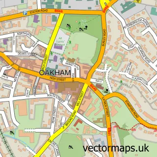
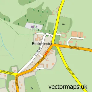
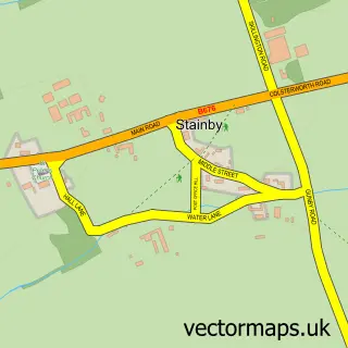
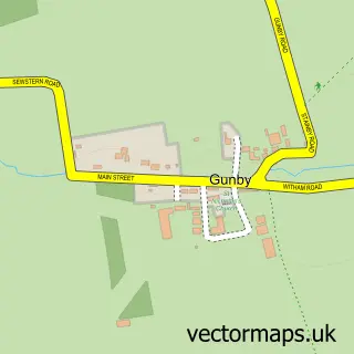
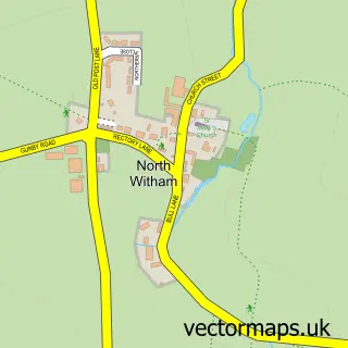
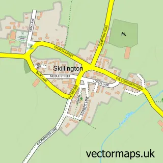
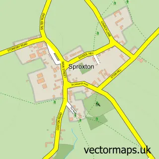
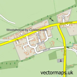
Nearby street map samples around Sewstern

More street maps in Leicestershire
750 metre map area coverage
Boundary, postcode and point of interest information for the 750m x 750m rectangle centred on this sample map.
Boundaries containing map centre
Constituency: Melton and Syston Co Const
County: Leicestershire County
District: Melton District (B)
Icb: NHS Leicester Leicestershire and Rutland ICB
Parish: Buckminster CP
Police Force: leicestershire
Postcode District: NG33
Postcode Sector: NG33 5
Ward: Wymondham Ward
Nearby boundaries intersecting sample
Constituency: Rutland and Stamford Co Const
County: Lincolnshire County
District: South Kesteven District
Icb: NHS Lincolnshire ICB
Parish: Gunby and Stainby CP
Ward: Isaac Newton Ward
Postcode coverage
POI category counts
Anglican Church: 1
Bar: 1
Building Supply Store: 1
Community Center: 1
Food Banks: 1
Plumbing: 1
Professional Services: 1
Pub: 1
Sample points of interest
- Sewstern: Holy Trinity
- The Blue Dog Inn
- Trevor Carter
- Sewstern Village Hall
- Leicester South
- T Carter
- Instinctive Photography
- The Blue Dog Inn - Sewstern
Create a larger editable map of Sewstern
This sample shows only a 750 metre area. To create a larger map of Sewstern, use our map builder to choose your own coverage area, add titles and download editable SVG, PDF and PNG files.
Create a custom map of Sewstern