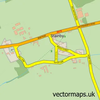
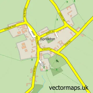
This Skillington street map is a detailed vector street map covering a 750m x 750m area. Select a larger area to create and download your own vector street map of Skillington.
The 750-metre map sample for Skillington covers 149 mapped buildings and approximately 18.7 km of road detail, of which 13 named roads are named. The immediate area includes 1 pub. The wider area around Skillington features 1 tourism point of interest and 1 food and drink venue. To create a larger or custom map of Skillington, the map builder lets you define your own coverage area and download editable SVG, PDF and PNG files.
Create a larger editable map of Skillington
Choose any area you need and generate a high-quality vector map instantly. Perfect for print, planning, design, business and personal use.

This Skillington street map in Lincolnshire is available as downloadable SVG, PDF and PNG map files, or as a printed map for planning, business, display, education, local information and design work. You can also create a larger custom map area using the map selector.
What this Skillington map sample shows
Skillington lies within Skillington Cp parish, part of Isaac Newton ward in the South Kesteven District local authority area. The postcode geography for this area includes the NG postcode area, the NG33 postcode district and the NG33 5 postcode sector. Residents fall under the Nhs Lincolnshire Integrated Care Board for NHS services.
Local features near Skillington
Within 2 milesAmenities and services in and around Skillington.
Administrative and postcode information for Skillington
Skillington lies within Skillington Cp parish, part of Isaac Newton ward in the South Kesteven District local authority area. The postcode geography for this area includes the NG postcode area, the NG33 postcode district and the NG33 5 postcode sector. Residents fall under the Nhs Lincolnshire Integrated Care Board for NHS services.
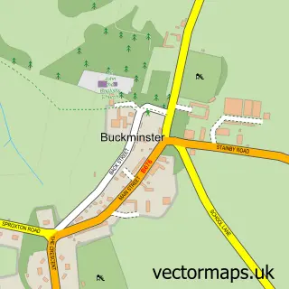
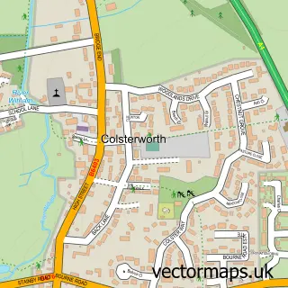
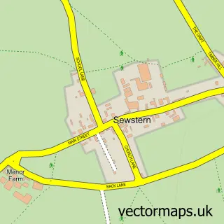
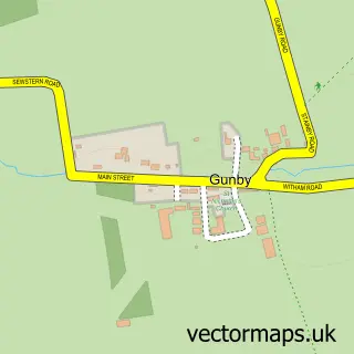
Nearby street map samples around Skillington

More street maps in Lincolnshire
750 metre map area coverage
Boundary, postcode and point of interest information for the 750m x 750m rectangle centred on this sample map.
Boundaries containing map centre
Constituency: Rutland and Stamford Co Const
County: Lincolnshire County
District: South Kesteven District
Icb: NHS Lincolnshire ICB
Parish: Skillington CP
Police Force: lincolnshire
Postcode District: NG33
Postcode Sector: NG33 5
Ward: Isaac Newton Ward
Nearby boundaries intersecting sample
No additional intersecting boundaries found.
Postcode coverage
POI category counts
Anglican Church: 1
Bar: 1
Beauty Salon: 1
Beverage Store: 1
Community Center: 1
Landmark And Historical Building: 1
Plumbing: 1
Professional Services: 1
Pub: 1
Sample points of interest
- St James, Skillington
- Stirrup Cup Mobile Bar
- Charlotte Wesson Bridal Hairstylist
- The Blue Horse Inn
- Skillington Village Hall
- Skillington Grantham Lincs
- Pipework Services
- Claxton Engineering Co
- Cross Swords Skillington
Create a larger editable map of Skillington
This sample shows only a 750 metre area. To create a larger map of Skillington, use our map builder to choose your own coverage area, add titles and download editable SVG, PDF and PNG files.
Create a custom map of Skillington