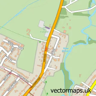
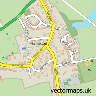
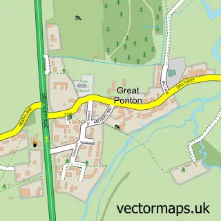
This Grantham street map is a detailed vector street map covering a 750m x 750m area. Select a larger area to create and download your own vector street map of Grantham.
The 750-metre map sample for Grantham covers 230 mapped buildings and approximately 28.4 km of road detail, of which 49 named roads are named. The immediate area includes 1 primary school and 1 secondary school, 2 GP surgeries, with 5 within 2 miles, 20 pubs and 4 MOT stations, with 21 within 2 miles. The wider area around Grantham features 3 tourism points of interest, 52 food and drink venues and 3 hotels. To create a larger or custom map of Grantham, the map builder lets you define your own coverage area and download editable SVG, PDF and PNG files.
Create a larger editable map of Grantham
Choose any area you need and generate a high-quality vector map instantly. Perfect for print, planning, design, business and personal use.

This Grantham street map in Lincolnshire is available as downloadable SVG, PDF and PNG map files, or as a printed map for planning, business, display, education, local information and design work. You can also create a larger custom map area using the map selector.
What this Grantham map sample shows
Grantham lies within Lincolnshire County parish, part of Grantham St Wulfram's ward in the South Kesteven District local authority area. The postcode geography for this area includes the NG postcode area, the NG31 postcode district and the NG31 6 postcode sector. Residents fall under the Nhs Lincolnshire Integrated Care Board for NHS services.
Local features near Grantham
Within 2 milesAmenities and services in and around Grantham.
Administrative and postcode information for Grantham
Grantham lies within Lincolnshire County parish, part of Grantham St Wulfram's ward in the South Kesteven District local authority area. The postcode geography for this area includes the NG postcode area, the NG31 postcode district and the NG31 6 postcode sector. Residents fall under the Nhs Lincolnshire Integrated Care Board for NHS services.
Nearby street map samples around Grantham

More street maps in Lincolnshire
750 metre map area coverage
Boundary, postcode and point of interest information for the 750m x 750m rectangle centred on this sample map.
Boundaries containing map centre
Constituency: Grantham and Bourne Co Const
County: Lincolnshire County
District: South Kesteven District
Icb: NHS Lincolnshire ICB
Parish: Grantham CP
Police Force: lincolnshire
Postcode District: NG31
Postcode Sector: NG31 6
Ward: Grantham St. Wulfram's Ward
Nearby boundaries intersecting sample
Postcode Sector: NG31 7, NG31 8, NG31 9
Ward: Grantham Arnoldfield Ward, Grantham Barrowby Gate Ward, Grantham Earlesfield Ward, Grantham St. Vincent's Ward
Postcode coverage
POI category counts
Beauty Salon: 29
Pub: 20
Clothing Store: 15
Jewelry Store: 15
Professional Services: 15
Barber: 14
Mobile Phone Store: 14
Real Estate Agent: 14
Bar: 13
Cafe: 12
Sample points of interest
- The Dooley House
- Burgin & Co.
- Duncan & Toplis
- ESP Business Solutions
- ESP Business Solutions
- Hood Parkes & Co
- Peter Chalk & RPP Taxation Services Ltd
- Wright Lilley & Co.
- Kesteven Rugby Union Football Club
- Chinese Herbcare & Acupuncture
- Addaction
- Horus Communications
Create a larger editable map of Grantham
This sample shows only a 750 metre area. To create a larger map of Grantham, use our map builder to choose your own coverage area, add titles and download editable SVG, PDF and PNG files.
Create a custom map of Grantham