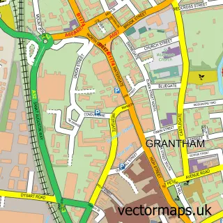
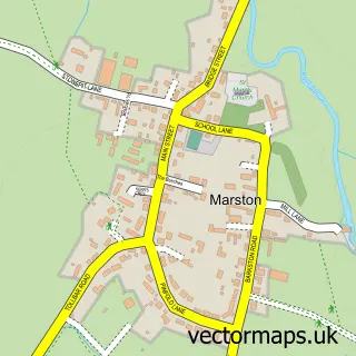
This Great Gonerby street map is a detailed vector street map covering a 750m x 750m area. Select a larger area to create and download your own vector street map of Great Gonerby.
The 750-metre map sample for Great Gonerby covers 496 mapped buildings and approximately 20.6 km of road detail, of which 25 named roads are named. The immediate area includes 1 school, 1 GP surgery within 2 miles, 1 pub and 5 MOT stations within 2 miles. The wider area around Great Gonerby features 1 tourism point of interest and 1 food and drink venue. To create a larger or custom map of Great Gonerby, the map builder lets you define your own coverage area and download editable SVG, PDF and PNG files.
Create a larger editable map of Great Gonerby
Choose any area you need and generate a high-quality vector map instantly. Perfect for print, planning, design, business and personal use.

This Great Gonerby street map in Lincolnshire is available as downloadable SVG, PDF and PNG map files, or as a printed map for planning, business, display, education, local information and design work. You can also create a larger custom map area using the map selector.
What this Great Gonerby map sample shows
Great Gonerby lies within Great Gonerby Cp parish, part of Peascliffe & Ridgeway ward in the South Kesteven District local authority area. The postcode geography for this area includes the NG postcode area, the NG31 postcode district and the NG31 8 postcode sector. Residents fall under the Nhs Lincolnshire Integrated Care Board for NHS services.
Local features near Great Gonerby
Within 2 milesAmenities and services in and around Great Gonerby.
Administrative and postcode information for Great Gonerby
Great Gonerby lies within Great Gonerby Cp parish, part of Peascliffe & Ridgeway ward in the South Kesteven District local authority area. The postcode geography for this area includes the NG postcode area, the NG31 postcode district and the NG31 8 postcode sector. Residents fall under the Nhs Lincolnshire Integrated Care Board for NHS services.
Nearby street map samples around Great Gonerby

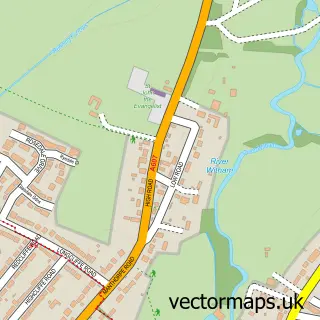
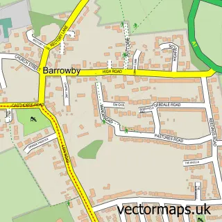
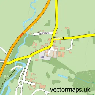
More street maps in Lincolnshire
750 metre map area coverage
Boundary, postcode and point of interest information for the 750m x 750m rectangle centred on this sample map.
Boundaries containing map centre
Constituency: Grantham and Bourne Co Const
County: Lincolnshire County
District: South Kesteven District
Icb: NHS Lincolnshire ICB
Parish: Great Gonerby CP
Police Force: lincolnshire
Postcode District: NG31
Postcode Sector: NG31 8
Ward: Peascliffe & Ridgeway Ward
Nearby boundaries intersecting sample
No additional intersecting boundaries found.
Postcode coverage
POI category counts
Beauty Salon: 3
Convenience Store: 3
Sports Club And League: 2
Arts And Entertainment: 1
Bar: 1
Building Contractor: 1
Community Center: 1
Currency Exchange: 1
Dog Walkers: 1
Elementary School: 1
Sample points of interest
- Jukebox Early-Learning LTD Grantham
- Barkers Bar
- Flicks Hair
- L R Pro Studio
- Mobile Hair Designs
- Bob Ward Window Cleaning
- Great Gonerby Memorial Hall
- Noble Trading UK
- Premier
- Premier Great Gonerby
- Post Office Travel Money
- Woofers Walkers
Create a larger editable map of Great Gonerby
This sample shows only a 750 metre area. To create a larger map of Great Gonerby, use our map builder to choose your own coverage area, add titles and download editable SVG, PDF and PNG files.
Create a custom map of Great Gonerby