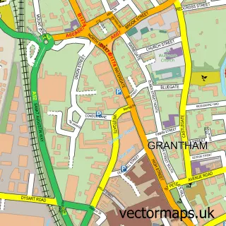
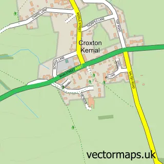
This Harlaxton street map is a detailed vector street map covering a 750m x 750m area. Select a larger area to create and download your own vector street map of Harlaxton.
The 750-metre map sample for Harlaxton covers 247 mapped buildings and approximately 14.1 km of road detail, of which 12 named roads are named. The immediate area includes 1 school, 1 GP surgery within 2 miles and 3 MOT stations within 2 miles. The wider area around Harlaxton features 1 tourism point of interest. To create a larger or custom map of Harlaxton, the map builder lets you define your own coverage area and download editable SVG, PDF and PNG files.
Create a larger editable map of Harlaxton
Choose any area you need and generate a high-quality vector map instantly. Perfect for print, planning, design, business and personal use.

This Harlaxton street map in Lincolnshire is available as downloadable SVG, PDF and PNG map files, or as a printed map for planning, business, display, education, local information and design work. You can also create a larger custom map area using the map selector.
What this Harlaxton map sample shows
Harlaxton lies within Harlaxton Cp parish, part of Belvoir ward in the South Kesteven District local authority area. The postcode geography for this area includes the NG postcode area, the NG32 postcode district and the NG32 1 postcode sector. Residents fall under the Nhs Lincolnshire Integrated Care Board for NHS services.
Local features near Harlaxton
Within 2 milesAmenities and services in and around Harlaxton.
Administrative and postcode information for Harlaxton
Harlaxton lies within Harlaxton Cp parish, part of Belvoir ward in the South Kesteven District local authority area. The postcode geography for this area includes the NG postcode area, the NG32 postcode district and the NG32 1 postcode sector. Residents fall under the Nhs Lincolnshire Integrated Care Board for NHS services.
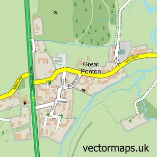
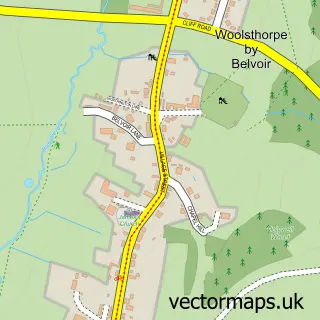
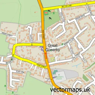
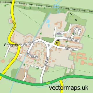
Nearby street map samples around Harlaxton

More street maps in Lincolnshire
750 metre map area coverage
Boundary, postcode and point of interest information for the 750m x 750m rectangle centred on this sample map.
Boundaries containing map centre
Constituency: Grantham and Bourne Co Const
County: Lincolnshire County
District: South Kesteven District
Icb: NHS Lincolnshire ICB
Parish: Harlaxton CP
Police Force: lincolnshire
Postcode District: NG32
Postcode Sector: NG32 1
Ward: Belvoir Ward
Nearby boundaries intersecting sample
No additional intersecting boundaries found.
Postcode coverage
POI category counts
Religious Organization: 3
Anglican Church: 1
Bed And Breakfast: 1
Community Center: 1
Currency Exchange: 1
Doctor: 1
Elementary School: 1
Environmental And Ecological Services For Businesses: 1
Furniture Accessory Store: 1
Life Coach: 1
Sample points of interest
- St Mary & St Peter
- Park House
- Harlaxton Village Hall
- Post Office Travel Money
- The Welby Practice (Harlaxton)
- Barrowby C Of E Primary School
- Rowleys Commercial Energy Assessment
- Couture Cases Ltd.
- Northern Energy Training
- Harlaxton Village
- Harlaxton Post Office
- Harlaxton Surgery
Create a larger editable map of Harlaxton
This sample shows only a 750 metre area. To create a larger map of Harlaxton, use our map builder to choose your own coverage area, add titles and download editable SVG, PDF and PNG files.
Create a custom map of Harlaxton