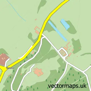
This Woolsthorpe-by-Belvoir street map is a detailed vector street map covering a 750m x 750m area. Select a larger area to create and download your own vector street map of Woolsthorpe-by-Belvoir.
The 750-metre map sample for Woolsthorpe-by-Belvoir covers 121 mapped buildings and approximately 14.2 km of road detail, of which 8 named roads are named. The immediate area includes 2 pubs. The wider area around Woolsthorpe-by-Belvoir features 2 food and drink venues. To create a larger or custom map of Woolsthorpe-by-Belvoir, the map builder lets you define your own coverage area and download editable SVG, PDF and PNG files.
Create a larger editable map of Woolsthorpe-by-Belvoir
Choose any area you need and generate a high-quality vector map instantly. Perfect for print, planning, design, business and personal use.

This Woolsthorpe-by-Belvoir street map in Lincolnshire is available as downloadable SVG, PDF and PNG map files, or as a printed map for planning, business, display, education, local information and design work. You can also create a larger custom map area using the map selector.
What this Woolsthorpe-by-Belvoir map sample shows
Woolsthorpe-by-Belvoir lies within Woolsthorpe By Belvoir Cp parish, part of Belvoir ward in the South Kesteven District local authority area. The postcode geography for this area includes the NG postcode area, the NG32 postcode district and the NG32 1 postcode sector. Residents fall under the Nhs Lincolnshire Integrated Care Board for NHS services.
Local features near Woolsthorpe-by-Belvoir
Within 2 milesAmenities and services in and around Woolsthorpe-by-Belvoir.
Administrative and postcode information for Woolsthorpe-by-Belvoir
Woolsthorpe-by-Belvoir lies within Woolsthorpe By Belvoir Cp parish, part of Belvoir ward in the South Kesteven District local authority area. The postcode geography for this area includes the NG postcode area, the NG32 postcode district and the NG32 1 postcode sector. Residents fall under the Nhs Lincolnshire Integrated Care Board for NHS services.
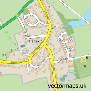
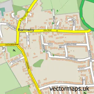
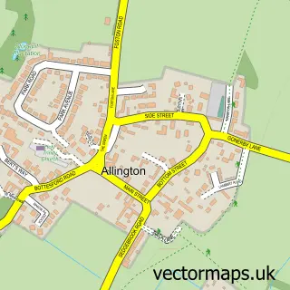
Nearby street map samples around Woolsthorpe-by-Belvoir
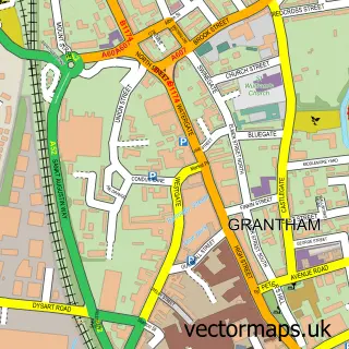

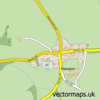
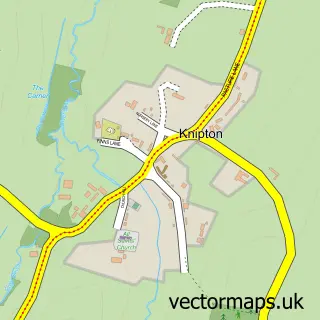
More street maps in Lincolnshire
750 metre map area coverage
Boundary, postcode and point of interest information for the 750m x 750m rectangle centred on this sample map.
Boundaries containing map centre
Constituency: Grantham and Bourne Co Const
County: Lincolnshire County
District: South Kesteven District
Icb: NHS Lincolnshire ICB
Parish: Woolsthorpe By Belvoir CP
Police Force: lincolnshire
Postcode District: NG32
Postcode Sector: NG32 1
Ward: Belvoir Ward
Nearby boundaries intersecting sample
Constituency: Melton and Syston Co Const
County: Leicestershire County
District: Melton District (B)
Icb: NHS Leicester Leicestershire and Rutland ICB
Parish: Belvoir CP
Police Force: leicestershire
Ward: Croxton Kerrial Ward
Postcode coverage
POI category counts
Pub: 2
Recreational Vehicle Dealer: 2
Anglican Church: 1
Automotive Repair: 1
Building Supply Store: 1
Community Center: 1
Doctor: 1
Electrician: 1
Gastropub: 1
Recycling Center: 1
Sample points of interest
- St James
- R F Commercial & Motor Engineers
- J C Elston
- Woolsthorpe by belvoir St James
- The Surgery
- Ian Smith Electrical Ltd.
- Chequers Inn
- The Chequers
- The Chequers Inn, Main Street, Woolsthorpe by Belvoir, Nr Grantham, Lincs
- Available Today
- Motorhomes Campervans
- British Heart Foundation
Create a larger editable map of Woolsthorpe-by-Belvoir
This sample shows only a 750 metre area. To create a larger map of Woolsthorpe-by-Belvoir, use our map builder to choose your own coverage area, add titles and download editable SVG, PDF and PNG files.
Create a custom map of Woolsthorpe-by-Belvoir