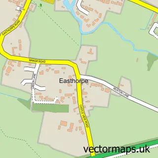
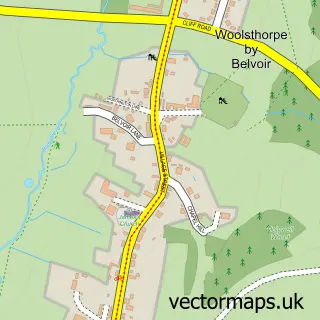
This Muston street map is a detailed vector street map covering a 750m x 750m area. Select a larger area to create and download your own vector street map of Muston.
The 750-metre map sample for Muston covers 91 mapped buildings and approximately 12.0 km of road detail, of which 5 named roads are named. The immediate area includes 1 GP surgery within 2 miles, 1 pub and 1 MOT station within 2 miles. The wider area around Muston features 2 food and drink venues. To create a larger or custom map of Muston, the map builder lets you define your own coverage area and download editable SVG, PDF and PNG files.
Create a larger editable map of Muston
Choose any area you need and generate a high-quality vector map instantly. Perfect for print, planning, design, business and personal use.

This Muston street map in Leicestershire is available as downloadable SVG, PDF and PNG map files, or as a printed map for planning, business, display, education, local information and design work. You can also create a larger custom map area using the map selector.
What this Muston map sample shows
Muston lies within Bottesford Cp parish, part of Bottesford ward in the Melton District (B) local authority area. The postcode geography for this area includes the NG postcode area, the NG13 postcode district and the NG13 0 postcode sector. Residents fall under the Nhs Leicester, Leicestershire And Rutland Integrated Care Board for NHS services.
Local features near Muston
Within 2 milesAmenities and services in and around Muston.
Administrative and postcode information for Muston
The local authority covering Muston is Melton District (B), within the county of Leicestershire. The settlement lies within Bottesford ward and Bottesford Cp civil parish. The NG13 postcode district and NG13 0 postcode sector serve the immediate area. NHS provision in the area is delivered through Nottingham University Hospitals Nhs Trust.
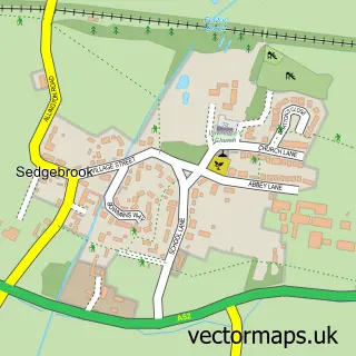
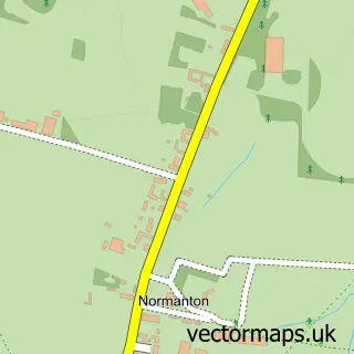
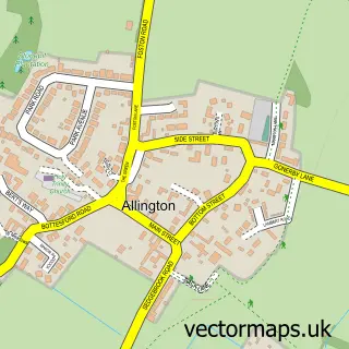
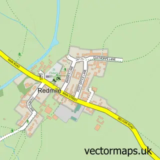
Nearby street map samples around Muston
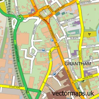

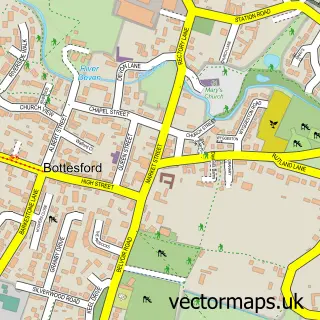
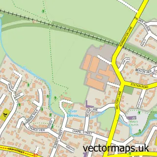
More street maps in Leicestershire
750 metre map area coverage
Boundary, postcode and point of interest information for the 750m x 750m rectangle centred on this sample map.
Boundaries containing map centre
Constituency: Melton and Syston Co Const
County: Leicestershire County
District: Melton District (B)
Icb: NHS Leicester Leicestershire and Rutland ICB
Parish: Bottesford CP
Police Force: leicestershire
Postcode District: NG13
Postcode Sector: NG13 0
Ward: Bottesford Ward
Nearby boundaries intersecting sample
Constituency: Grantham and Bourne Co Const
County: Lincolnshire County
District: South Kesteven District
Icb: NHS Lincolnshire ICB
Parish: Sedgebrook CP
Police Force: lincolnshire
Ward: Belvoir Ward
Postcode coverage
POI category counts
Advertising Agency: 1
Anglican Church: 1
Bed And Breakfast: 1
Gym: 1
Pizza Restaurant: 1
Pub: 1
Restaurant: 1
Tea Room: 1
Sample points of interest
- Steve Turner Design
- Muston: St John the Baptist
- Glebe House Muston
- FIT 2 Drop
- Stonehouse Pizza & Carvery
- The Gap Inn
- Stonehouse Pizza & Carvery
- The Old Forge Tea Rooms
Create a larger editable map of Muston
This sample shows only a 750 metre area. To create a larger map of Muston, use our map builder to choose your own coverage area, add titles and download editable SVG, PDF and PNG files.
Create a custom map of Muston